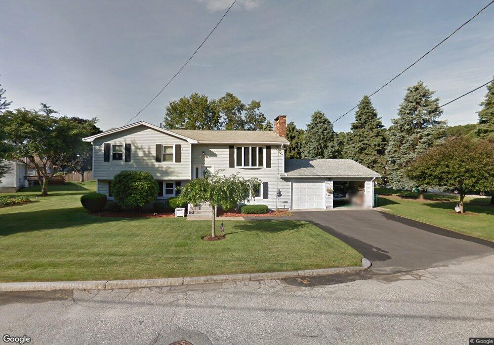
332 Ray Ave Woonsocket, RI 02895
East Woonsocket NeighborhoodEstimated Value: $418,000 - $441,000
3
Beds
1
Bath
1,048
Sq Ft
$414/Sq Ft
Est. Value
About This Home
This home is located at 332 Ray Ave, Woonsocket, RI 02895 and is currently estimated at $433,655, approximately $413 per square foot. 332 Ray Ave is a home located in Providence County with nearby schools including Woonsocket High School and Good Shepherd Catholic School.
Create a Home Valuation Report for This Property
The Home Valuation Report is an in-depth analysis detailing your home's value as well as a comparison with similar homes in the area
Home Values in the Area
Average Home Value in this Area
Tax History
We collect this data history from publicly available records. To have your information removed, we recommend requesting removal directly through your county’s website.
| Year | Tax Paid | Tax Assessment Tax Assessment Total Assessment is a certain percentage of the fair market value that is determined by local assessors to be the total taxable value of land and additions on the property. | Land | Improvement |
|---|---|---|---|---|
| 2025 | $4,623 | $411,700 | $108,700 | $303,000 |
| 2024 | $4,872 | $335,100 | $88,700 | $246,400 |
| 2023 | $4,685 | $335,100 | $88,700 | $246,400 |
| 2022 | $4,685 | $335,100 | $88,700 | $246,400 |
| 2021 | $4,878 | $205,400 | $71,200 | $134,200 |
| 2020 | $4,930 | $205,400 | $71,200 | $134,200 |
| 2018 | $4,946 | $205,400 | $71,200 | $134,200 |
| 2017 | $5,830 | $193,700 | $65,800 | $127,900 |
| 2016 | $6,167 | $193,700 | $65,800 | $127,900 |
| 2015 | $7,086 | $193,700 | $65,800 | $127,900 |
| 2014 | $7,062 | $196,500 | $72,400 | $124,100 |
Source: Public Records
Map
Nearby Homes
- 375 Congress St
- 264 Aylsworth Ave
- 43 Virginia Ave
- 91 Oregon Ave
- 230 Manila Ave
- 1842 Mendon Rd
- 102 Grace Ave
- 430 Cumberland Hill Rd
- 11 Bourassa Ave
- 129 Lefrancois Blvd
- 815 Elm St
- 1223 Cumberland Hill Rd
- 74 Henry St
- 272 Cass Ave Unit 3
- 48 Madeleine Ave
- 628 Robinson St
- 644 Elm St
- 203 Tara Ln
- 0 Circle St Unit 1415893
- 157 Tara Ln
Your Personal Tour Guide
Ask me questions while you tour the home.