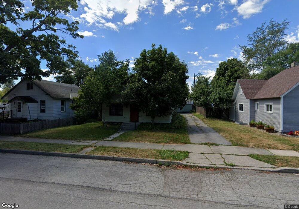
332 S Euclid Ave Sandpoint, ID 83864
Estimated Value: $414,000 - $534,000
2
Beds
2
Baths
1,176
Sq Ft
$414/Sq Ft
Est. Value
About This Home
This home is located at 332 S Euclid Ave, Sandpoint, ID 83864 and is currently estimated at $486,423, approximately $413 per square foot. 332 S Euclid Ave is a home located in Bonner County with nearby schools including Washington Elementary School, Sandpoint Middle School, and Sandpoint High School.
Ownership History
Date
Name
Owned For
Owner Type
Purchase Details
Closed on
Apr 15, 2015
Sold by
Michael Boge R and Michael Boge R
Bought by
Boge Michael and Boge Anavel
Current Estimated Value
Purchase Details
Closed on
Dec 3, 2009
Sold by
Boge Richard Michael
Bought by
Boge Richard M and Bypass Trust
Home Financials for this Owner
Home Financials are based on the most recent Mortgage that was taken out on this home.
Original Mortgage
$533,333
Interest Rate
4.99%
Mortgage Type
Seller Take Back
Create a Home Valuation Report for This Property
The Home Valuation Report is an in-depth analysis detailing your home's value as well as a comparison with similar homes in the area
Home Values in the Area
Average Home Value in this Area
Purchase History
| Date | Buyer | Sale Price | Title Company |
|---|---|---|---|
| Boge Michael | -- | First American Title Company | |
| Boge Richard M | -- | -- |
Source: Public Records
Mortgage History
| Date | Status | Borrower | Loan Amount |
|---|---|---|---|
| Previous Owner | Boge Richard M | $533,333 |
Source: Public Records
Tax History
| Year | Tax Paid | Tax Assessment Tax Assessment Total Assessment is a certain percentage of the fair market value that is determined by local assessors to be the total taxable value of land and additions on the property. | Land | Improvement |
|---|---|---|---|---|
| 2025 | $1,971 | $444,817 | $267,607 | $177,210 |
| 2024 | $2,237 | $467,518 | $292,988 | $174,530 |
| 2023 | $1,797 | $440,855 | $292,988 | $147,867 |
| 2022 | $2,441 | $446,148 | $311,782 | $134,366 |
| 2021 | $1,419 | $235,915 | $160,799 | $75,116 |
| 2020 | $1,193 | $196,944 | $122,855 | $74,089 |
| 2019 | $1,051 | $173,238 | $104,557 | $68,681 |
| 2018 | $954 | $156,485 | $95,374 | $61,111 |
| 2017 | $954 | $143,116 | $0 | $0 |
| 2016 | $794 | $104,525 | $0 | $0 |
| 2015 | $809 | $106,225 | $0 | $0 |
| 2014 | $970 | $132,389 | $0 | $0 |
Source: Public Records
Map
Nearby Homes
- 231 S 4th Ave
- 436 S Lavina Ave
- 417 Pine St
- 515 S Lavina Ave
- 218 S 2nd Ave
- 216 S Second Ave
- 724 Pine St
- 401 S 1st Ave
- 215 N Forest Ave
- 403 S Olive Ave
- 503 Cedar St
- 503 Cedar St Unit 203
- 301 Iberian Way Unit 223
- 424 S Olive Ave
- 706 Main St
- 917 Cedar St
- 1215 Church St
- 402 Sandpoint Ave #122
- 402 Sandpoint Ave Unit 122
- 412 Sandpoint Ave Unit 334/335
- 330 S Euclid Ave
- 334 S Euclid Ave
- 326 S Euclid Ave
- 329 Saint Clair Ave
- 343 Saint Clair Ave
- 324 S Euclid Ave
- 327 Saint Clair Ave
- 402 S Euclid Ave
- 329 S Euclid Ave
- 333 S Euclid Ave
- 322 S Euclid Ave
- 325 S Euclid Ave
- 401 S Euclid Ave
- 323 Saint Clair Ave
- 401 Saint Clair Ave
- 323 S Euclid Ave
- 316 S Euclid Ave
- 401 St Clair
- 410 S Euclid Ave
- 321 S Euclid Ave
Your Personal Tour Guide
Ask me questions while you tour the home.