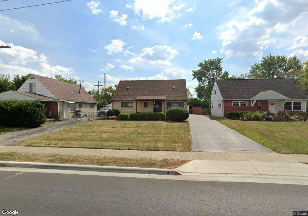
3321 Eakin Rd Columbus, OH 43204
Southwest Hilltop NeighborhoodEstimated Value: $197,383 - $228,000
4
Beds
1
Bath
1,493
Sq Ft
$143/Sq Ft
Est. Value
About This Home
This home is located at 3321 Eakin Rd, Columbus, OH 43204 and is currently estimated at $213,096, approximately $142 per square foot. 3321 Eakin Rd is a home located in Franklin County with nearby schools including Binns Elementary School, Wedgewood Middle School, and Briggs High School.
Ownership History
Date
Name
Owned For
Owner Type
Purchase Details
Closed on
Oct 4, 2015
Sold by
Peterson Patty J
Bought by
Peterson Patty J and Trustee Of Patty J Peterson
Current Estimated Value
Purchase Details
Closed on
Mar 7, 1999
Sold by
Peterson Carl T and Peterson Patty J
Bought by
Peterson Patty Jean and Peterson Carl Thomas
Purchase Details
Closed on
Dec 26, 1963
Bought by
Peterson Carl T and Peterson Patty J
Create a Home Valuation Report for This Property
The Home Valuation Report is an in-depth analysis detailing your home's value as well as a comparison with similar homes in the area
Home Values in the Area
Average Home Value in this Area
Purchase History
| Date | Buyer | Sale Price | Title Company |
|---|---|---|---|
| Peterson Patty J | -- | None Available | |
| Peterson Patty Jean | -- | -- | |
| Peterson Carl T | -- | -- |
Source: Public Records
Tax History
| Year | Tax Paid | Tax Assessment Tax Assessment Total Assessment is a certain percentage of the fair market value that is determined by local assessors to be the total taxable value of land and additions on the property. | Land | Improvement |
|---|---|---|---|---|
| 2025 | $2,157 | $57,860 | $13,650 | $44,210 |
| 2024 | $2,157 | $57,860 | $13,650 | $44,210 |
| 2023 | $2,157 | $57,855 | $13,650 | $44,205 |
| 2022 | $1,536 | $38,360 | $5,950 | $32,410 |
| 2021 | $1,538 | $38,360 | $5,950 | $32,410 |
| 2020 | $1,540 | $38,360 | $5,950 | $32,410 |
| 2019 | $1,376 | $31,430 | $4,970 | $26,460 |
| 2018 | $1,132 | $31,430 | $4,970 | $26,460 |
| 2017 | $1,375 | $31,430 | $4,970 | $26,460 |
| 2016 | $981 | $23,560 | $4,030 | $19,530 |
| 2015 | $891 | $23,560 | $4,030 | $19,530 |
| 2014 | $893 | $23,560 | $4,030 | $19,530 |
| 2013 | $563 | $27,685 | $4,725 | $22,960 |
Source: Public Records
Map
Nearby Homes
- 3295 Mary Ave
- 814 Miriam Dr W
- 840 Mark Place
- 758 Demorest Rd
- 3232 Mary Ave
- 695 Demorest Rd
- 3340 Miriam Dr S
- 3318 Miriam Dr S
- 945 S Brinker Ave
- 861 Derrer Rd Unit 863
- 833 Joyful St
- 3276 Sullivant Ave Unit 278
- 3535 Glorious Rd
- 3551 Glorious Rd
- 793 Binns Blvd
- 3160 Sullivant Ave Unit 162
- 570 S Westgate Ave
- 894 Binns Blvd
- 904 Binns Blvd
- 620 Salisbury Rd
Your Personal Tour Guide
Ask me questions while you tour the home.