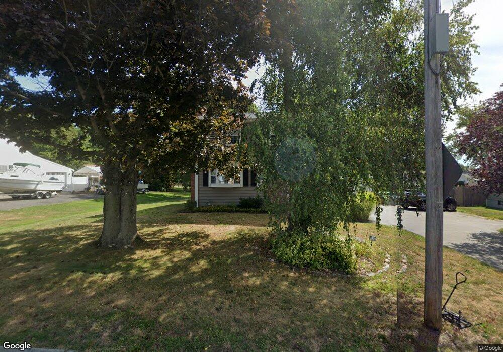
333 Bark St Swansea, MA 02777
Northeast Swansea NeighborhoodEstimated Value: $431,809 - $536,000
3
Beds
2
Baths
1,470
Sq Ft
$341/Sq Ft
Est. Value
About This Home
This home is located at 333 Bark St, Swansea, MA 02777 and is currently estimated at $500,952, approximately $340 per square foot. 333 Bark St is a home located in Bristol County with nearby schools including Joseph Case High School, Swansea Wood School, and SCEC Life Academy.
Ownership History
Date
Name
Owned For
Owner Type
Purchase Details
Closed on
Feb 24, 2016
Sold by
Little John R and Little Nancy
Bought by
Little Ft and Paiva Jennifer A
Current Estimated Value
Purchase Details
Closed on
Sep 15, 1972
Bought by
Little John R and Little Nancy
Create a Home Valuation Report for This Property
The Home Valuation Report is an in-depth analysis detailing your home's value as well as a comparison with similar homes in the area
Home Values in the Area
Average Home Value in this Area
Purchase History
We collect this data history from publicly available records. To have your information removed, we recommend requesting removal directly through your county’s website.
| Date | Buyer | Sale Price | Title Company |
|---|---|---|---|
| Little Ft | -- | -- | |
| Little John R | -- | -- |
Source: Public Records
Mortgage History
We collect this data history from publicly available records. To have your information removed, we recommend requesting removal directly through your county’s website.
| Date | Status | Borrower | Loan Amount |
|---|---|---|---|
| Previous Owner | Little John R | $135,000 | |
| Previous Owner | Little John R | $101,000 | |
| Previous Owner | Little John R | $84,000 | |
| Previous Owner | Little John R | $50,000 |
Source: Public Records
Tax History
| Year | Tax Paid | Tax Assessment Tax Assessment Total Assessment is a certain percentage of the fair market value that is determined by local assessors to be the total taxable value of land and additions on the property. | Land | Improvement |
|---|---|---|---|---|
| 2025 | $4,506 | $378,000 | $151,000 | $227,000 |
| 2024 | $4,520 | $377,000 | $151,000 | $226,000 |
| 2023 | $4,152 | $316,200 | $110,200 | $206,000 |
| 2022 | $3,882 | $269,800 | $100,200 | $169,600 |
| 2021 | $3,898 | $249,400 | $100,200 | $149,200 |
| 2020 | $3,619 | $232,300 | $100,200 | $132,100 |
| 2019 | $3,549 | $228,800 | $89,200 | $139,600 |
| 2018 | $3,438 | $225,000 | $86,900 | $138,100 |
| 2017 | $2,968 | $223,500 | $86,900 | $136,600 |
| 2016 | $2,593 | $191,800 | $57,600 | $134,200 |
| 2015 | $2,514 | $191,500 | $57,600 | $133,900 |
| 2014 | $2,332 | $181,600 | $57,600 | $124,000 |
Source: Public Records
Map
Nearby Homes
- 0 Bark St Unit 1342599
- 503 Bark St
- 46 Lilac Ave
- 146 Colonial Dr
- 63 Eschol St
- 33 Rhinecliffe Rd
- 372 Buffinton St
- 68 Redwood Rd
- 160 Sherman Rd
- 15 James Birch Ln
- 4 Merton St
- 8 Deer St
- 34 Doherty Ave
- 30 Gray St
- 2714 Riverside Ave
- 194 Grove Ave
- 94 Valley Rd
- 992 Lees River Ave
- 48 Thelma Ave
- 960 Lees River Ave
Your Personal Tour Guide
Ask me questions while you tour the home.