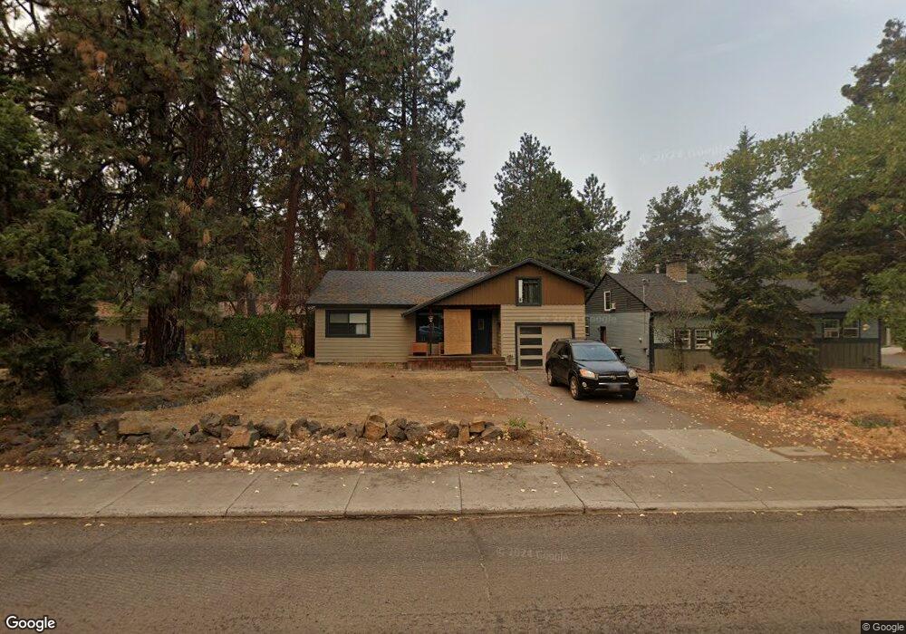
333 NE 10th St Bend, OR 97701
Orchard District NeighborhoodEstimated Value: $432,820 - $515,000
3
Beds
1
Bath
916
Sq Ft
$522/Sq Ft
Est. Value
About This Home
This home is located at 333 NE 10th St, Bend, OR 97701 and is currently estimated at $477,705, approximately $521 per square foot. 333 NE 10th St is a home located in Deschutes County with nearby schools including Juniper Elementary School, Pilot Butte Middle School, and Bend Senior High School.
Ownership History
Date
Name
Owned For
Owner Type
Purchase Details
Closed on
Jun 9, 2009
Sold by
Cleary Craig S
Bought by
Cleary Craig S and Cleary Barbara
Current Estimated Value
Home Financials for this Owner
Home Financials are based on the most recent Mortgage that was taken out on this home.
Original Mortgage
$116,000
Outstanding Balance
$73,173
Interest Rate
4.82%
Mortgage Type
New Conventional
Estimated Equity
$404,532
Purchase Details
Closed on
Mar 31, 2005
Sold by
Kellar Susan Elisabeth and Coombs Susan
Bought by
Cleary Craig S
Home Financials for this Owner
Home Financials are based on the most recent Mortgage that was taken out on this home.
Original Mortgage
$105,000
Interest Rate
1.37%
Mortgage Type
Negative Amortization
Create a Home Valuation Report for This Property
The Home Valuation Report is an in-depth analysis detailing your home's value as well as a comparison with similar homes in the area
Home Values in the Area
Average Home Value in this Area
Purchase History
| Date | Buyer | Sale Price | Title Company |
|---|---|---|---|
| Cleary Craig S | -- | Amerititle | |
| Cleary Craig S | $150,000 | Western Title & Escrow Co |
Source: Public Records
Mortgage History
| Date | Status | Borrower | Loan Amount |
|---|---|---|---|
| Open | Cleary Craig S | $116,000 | |
| Closed | Cleary Craig S | $105,000 |
Source: Public Records
Tax History
| Year | Tax Paid | Tax Assessment Tax Assessment Total Assessment is a certain percentage of the fair market value that is determined by local assessors to be the total taxable value of land and additions on the property. | Land | Improvement |
|---|---|---|---|---|
| 2025 | $2,123 | $125,620 | -- | -- |
| 2024 | $2,042 | $121,970 | -- | -- |
| 2023 | $1,893 | $118,420 | $0 | $0 |
| 2022 | $1,766 | $111,640 | $0 | $0 |
| 2021 | $1,769 | $108,390 | $0 | $0 |
| 2020 | $1,678 | $108,390 | $0 | $0 |
| 2019 | $1,632 | $105,240 | $0 | $0 |
| 2018 | $1,586 | $102,180 | $0 | $0 |
| 2017 | $1,539 | $99,210 | $0 | $0 |
| 2016 | $1,468 | $96,330 | $0 | $0 |
| 2015 | $1,428 | $93,530 | $0 | $0 |
| 2014 | $1,386 | $90,810 | $0 | $0 |
Source: Public Records
Map
Nearby Homes
- 438 NE 9th St
- 775 NE Franklin Ave
- 1363 NE Bear Creek Rd
- 924 NE 9th St
- 513 NE Irving Ave
- 1540 NE Bear Creek Rd
- 1119 NE 9th St
- 649 NE Kearney Ave
- 429 NE Irving Ave
- 530 SE Centennial St Unit 524,526,528,530
- 1649 NE Lesley Place
- 566 NE Lafayette Ave Unit 1
- 558 NE Lafayette Ave
- 637 NE Marshall Ave
- 633 NE Marshall Ave
- 1334 NE 8th St
- 350 SE Silvis Ln
- 365 SE 5th St
- 1401 NE 10th St
- 625 NE Norton Ave Unit 1 + 2
- 335 NE 10th St
- 936 NE Dekalb Ave
- 923 NE Emerson Ave
- 928 NE Dekalb Ave
- 312 NE 10th St
- 324 NE 10th St
- 424 NE 9th St
- 409 NE 10th St
- 410 NE 10th St
- 940 NE Emerson Ave
- 951 NE Dekalb Ave
- 934 NE Emerson Ave
- 412 NE 10th St
- 245 NE 10th St
- 902 NE Dekalb Ave
- 920 NE Emerson Ave
- 421 NE 10th St
- 430 NE 10th St
- 437 NE 10th St
Your Personal Tour Guide
Ask me questions while you tour the home.