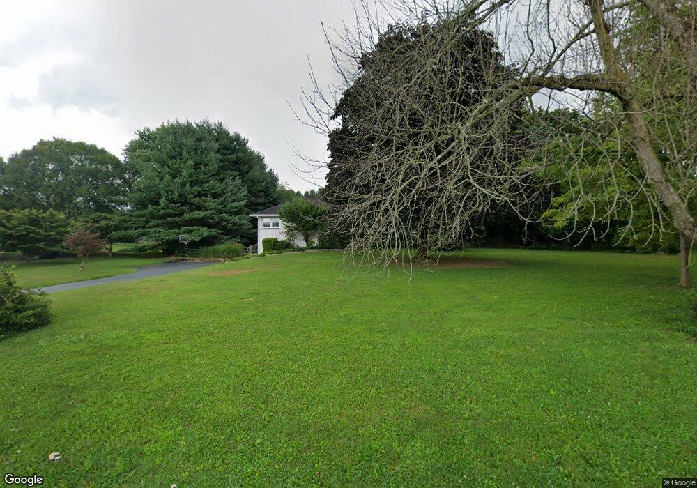
333 Thornton Rd Thornton, PA 19373
Estimated Value: $543,000 - $708,000
4
Beds
2
Baths
1,754
Sq Ft
$347/Sq Ft
Est. Value
About This Home
This home is located at 333 Thornton Rd, Thornton, PA 19373 and is currently estimated at $607,814, approximately $346 per square foot. 333 Thornton Rd is a home located in Delaware County with nearby schools including Westtown-Thornbury Elementary School, Stetson Middle School, and Bayard Rustin High School.
Ownership History
Date
Name
Owned For
Owner Type
Purchase Details
Closed on
Dec 20, 2006
Sold by
Bryan Laurette M
Bought by
Montgomery Craig S and Montgomery Julie L
Current Estimated Value
Home Financials for this Owner
Home Financials are based on the most recent Mortgage that was taken out on this home.
Original Mortgage
$251,250
Outstanding Balance
$149,633
Interest Rate
6.24%
Mortgage Type
Purchase Money Mortgage
Estimated Equity
$458,181
Create a Home Valuation Report for This Property
The Home Valuation Report is an in-depth analysis detailing your home's value as well as a comparison with similar homes in the area
Home Values in the Area
Average Home Value in this Area
Purchase History
| Date | Buyer | Sale Price | Title Company |
|---|---|---|---|
| Montgomery Craig S | $335,000 | None Available |
Source: Public Records
Mortgage History
| Date | Status | Borrower | Loan Amount |
|---|---|---|---|
| Open | Montgomery Craig S | $251,250 |
Source: Public Records
Tax History
| Year | Tax Paid | Tax Assessment Tax Assessment Total Assessment is a certain percentage of the fair market value that is determined by local assessors to be the total taxable value of land and additions on the property. | Land | Improvement |
|---|---|---|---|---|
| 2025 | $4,914 | $375,390 | $124,590 | $250,800 |
| 2024 | $4,914 | $375,390 | $124,590 | $250,800 |
| 2023 | $4,855 | $375,390 | $124,590 | $250,800 |
| 2022 | $4,698 | $375,390 | $124,590 | $250,800 |
| 2021 | $7,381 | $375,390 | $124,590 | $250,800 |
| 2020 | $3,757 | $172,980 | $66,220 | $106,760 |
| 2019 | $3,725 | $172,980 | $66,220 | $106,760 |
| 2018 | $3,599 | $172,980 | $0 | $0 |
| 2017 | $3,513 | $172,980 | $0 | $0 |
| 2016 | $949 | $172,980 | $0 | $0 |
| 2015 | $969 | $172,980 | $0 | $0 |
| 2014 | $969 | $172,980 | $0 | $0 |
Source: Public Records
Map
Nearby Homes
- 76 Colonial Cir
- 9 Heatherstone Way
- 14 Dever Dr
- 5 Cedar Grove Dr
- 22 Country Run
- 186 Dilworthtown Rd
- 14 David Dr
- 38 James Cloud Cir
- 257 Glen Mills Rd Unit C
- 257 Glen Mills Rd Unit B
- 257 Glen Mills Rd
- 98 James Cloud Cir
- 255 Glen Mills Rd
- 19 Memel Dr
- Lot 3 149 Governor Markham Cheslen
- Lot 2 145 Governor Markham Cheslen
- 43 Glenview Rd
- 16 Creekview Cir
- 547 Baltimore Pike
- 0 Cheyney Rd Unit PADE2111790
- 329 Thornton Rd
- 337 Thornton Rd
- 325 Thornton Rd
- 3 Timber Ln
- 372 Glen Mills Rd
- 4 Timber Ln
- 5 Timber Ln
- 303 Thornton Rd
- 378 Thornton Rd
- 370 Glen Mills Rd
- 6 Timber Ln
- 317 Thornton Rd
- 395 Glen Mills Rd
- 381 Glen Mills Rd
- 346 Thornton Rd
- 9 Timber Ln
- 368 Glen Mills Rd
- 366 Glen Mills Rd
- 379 Glen Mills Rd
- 355 Glen Mills Rd
Your Personal Tour Guide
Ask me questions while you tour the home.