3333 Enterprise Rd E Safety Harbor, FL 34695
Estimated Value: $941,000 - $1,891,000
About This Home
This home is located at 3333 Enterprise Rd E, Safety Harbor, FL 34695 and is currently estimated at $1,617,118, approximately $350 per square foot. 3333 Enterprise Rd E is a home located in Pinellas County with nearby schools including Countryside High School, Safety Harbor Elementary School, and Safety Harbor Middle School.
Ownership History
We collect this data history from publicly available records. To have your information removed, we recommend requesting removal directly through your county’s website.
Purchase Details
Purchase Details
Home Financials for this Owner
Home Financials are based on the most recent Mortgage that was taken out on this home.Purchase Details
Home Financials for this Owner
Home Financials are based on the most recent Mortgage that was taken out on this home.Home Values in the Area
Average Home Value in this Area
Purchase History
We collect this data history from publicly available records. To have your information removed, we recommend requesting removal directly through your county’s website.
| Date | Buyer | Sale Price | Title Company |
|---|---|---|---|
| -- | Attorney | ||
| $360,000 | Security Title Company | ||
| $700,000 | Star Title Partners Of Palm |
Mortgage History
We collect this data history from publicly available records. To have your information removed, we recommend requesting removal directly through your county’s website.
| Date | Status | Borrower | Loan Amount |
|---|---|---|---|
| Open | $288,000 | ||
| Previous Owner | $665,000 |
Tax History
We collect this data history from publicly available records. To have your information removed, we recommend requesting removal directly through your county’s website.
| Year | Tax Paid | Tax Assessment Tax Assessment Total Assessment is a certain percentage of the fair market value that is determined by local assessors to be the total taxable value of land and additions on the property. | Land | Improvement |
|---|---|---|---|---|
| 2025 | $9,310 | $586,637 | -- | -- |
| 2024 | $9,300 | $570,104 | -- | -- |
| 2023 | $9,300 | $553,499 | $0 | $0 |
| 2022 | $9,145 | $537,378 | $0 | $0 |
| 2021 | $9,369 | $521,726 | $0 | $0 |
| 2020 | $9,582 | $514,523 | $0 | $0 |
| 2019 | $9,523 | $502,955 | $0 | $0 |
| 2018 | $9,469 | $493,577 | $0 | $0 |
| 2017 | $9,399 | $483,425 | $0 | $0 |
| 2016 | $9,332 | $473,482 | $0 | $0 |
| 2015 | $9,463 | $470,191 | $0 | $0 |
| 2014 | $9,418 | $466,459 | $0 | $0 |
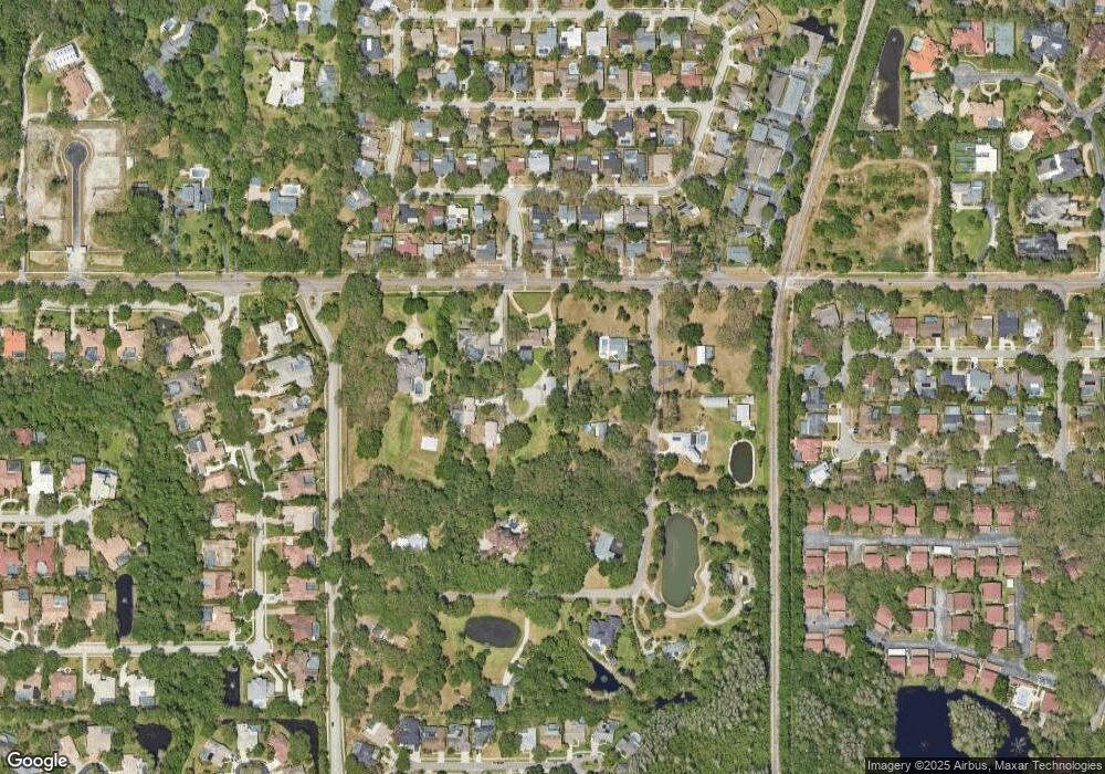
Map
- 3321 Meander Ln
- 2402 Huntington Blvd
- 1609 Hampton Ct
- 616 Fayette Dr N
- 2303 Oxford Ct
- 1611 Hampton Ln
- 1215 Huntington Ln
- 2363 Flanders Way Unit C
- 2367 Flanders Way Unit D
- 612 Baldwin Ave Unit C
- 2225 Windsong Ct
- 603 Baldwin Ave Unit B
- 3 Octavia Way
- 1713 Tall Pine Cir
- 511 Longfellow Ct Unit B
- 1009 Wyndham Way
- 514 Longfellow Ct Unit B
- 2403 Country Trails Dr
- 30 Turnstone Dr
- 1706 Country Trails Dr
- 3325 Enterprise Rd E
- 3315 Enterprise Rd E
- 3329 Enterprise Rd E
- 3312 Enterprise Rd E
- 3310 Enterprise Rd E
- 3308 Enterprise Rd E
- 3314 Enterprise Rd E
- 3306 Enterprise Rd E
- 135 Harbor Woods Cir
- 131 Harbor Woods Cir
- 3316 Enterprise Rd E
- 3304 Enterprise Rd E
- 127 Harbor Woods Cir
- 5 Harbor Woods Cir
- 125 Harbor Woods Cir
- 3318 Enterprise Rd E
- 2490 Meander Ln
- 3302 Enterprise Rd E
- 9 Harbor Woods Cir
- 2450 Meander Ln
Ask me questions while you tour the home.