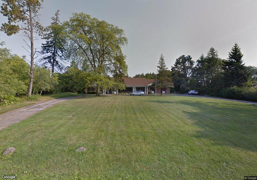
3336 Parkside Dr Flint, MI 48503
Woodcroft Estates NeighborhoodEstimated Value: $364,738 - $555,000
3
Beds
4
Baths
2,777
Sq Ft
$161/Sq Ft
Est. Value
About This Home
This home is located at 3336 Parkside Dr, Flint, MI 48503 and is currently estimated at $448,435, approximately $161 per square foot. 3336 Parkside Dr is a home located in Genesee County with nearby schools including Durant-Tuuri-Mott Elementary School, Flint Southwestern Classical Academy, and St. Paul Lutheran School.
Ownership History
Date
Name
Owned For
Owner Type
Purchase Details
Closed on
Nov 30, 2010
Sold by
Federal National Mortgage Association
Bought by
Alwajih Taher
Current Estimated Value
Purchase Details
Closed on
Mar 3, 2010
Sold by
Roberts Ramona M
Bought by
Federal National Mortgage Association
Create a Home Valuation Report for This Property
The Home Valuation Report is an in-depth analysis detailing your home's value as well as a comparison with similar homes in the area
Home Values in the Area
Average Home Value in this Area
Purchase History
We collect this data history from publicly available records. To have your information removed, we recommend requesting removal directly through your county’s website.
| Date | Buyer | Sale Price | Title Company |
|---|---|---|---|
| Alwajih Taher | $170,000 | None Available | |
| Federal National Mortgage Association | $147,209 | None Available |
Source: Public Records
Tax History
| Year | Tax Paid | Tax Assessment Tax Assessment Total Assessment is a certain percentage of the fair market value that is determined by local assessors to be the total taxable value of land and additions on the property. | Land | Improvement |
|---|---|---|---|---|
| 2025 | $4,659 | $207,600 | $0 | $0 |
| 2024 | $4,566 | $196,500 | $0 | $0 |
| 2023 | $4,400 | $177,300 | $0 | $0 |
| 2022 | $0 | $163,900 | $0 | $0 |
| 2021 | $4,672 | $150,800 | $0 | $0 |
| 2020 | $4,065 | $143,600 | $0 | $0 |
| 2019 | $4,899 | $137,400 | $0 | $0 |
| 2018 | $4,188 | $129,400 | $0 | $0 |
| 2017 | $4,122 | $0 | $0 | $0 |
| 2016 | $4,002 | $0 | $0 | $0 |
| 2015 | -- | $0 | $0 | $0 |
| 2014 | -- | $0 | $0 | $0 |
| 2012 | -- | $86,800 | $0 | $0 |
Source: Public Records
Map
Nearby Homes
- 3441 Hawthorne Dr
- 3302 Miller Rd
- 3402 Brandon St
- 3102 Yale St
- 3506 Chicago Blvd
- 1840 Hampden Rd
- 1621 Stocker Ave
- 2906 Brandon St
- 2425 Austins Pkwy
- 1614 Knapp Ave
- 3202 Herrick St
- 3217 Arlene Ave
- 1425 Knight Ave
- 1409 Stocker Ave
- 1412 S Ballenger Hwy
- 3521 Whitney Ave
- 3609 Whitney Ave
- 3825 Arlene Ave
- 1308 Barney Ave
- 3922 Herrick St
- 3330 Parkside Dr
- 3340 Parkside Dr
- 3325 Westwood Pkwy
- 3335 Westwood Pkwy
- 3315 Westwood Pkwy
- 3320 Parkside Dr
- 3410 Parkside Dr
- 3301 Westwood Pkwy
- 2130 Briar Hill Rd
- 3310 Parkside Dr
- 2122 Briar Hill Rd
- 3411 Westwood Pkwy
- 3405 Westwood Pkwy
- 3420 Parkside Dr
- 2142 Briar Hill Rd
- 3545 Hawthorne Dr
- 3545 Hawthorne Dr
- 3330 Westwood Pkwy
- 3302 Westwood Pkwy
- 3525 Hawthorne Dr
Your Personal Tour Guide
Ask me questions while you tour the home.