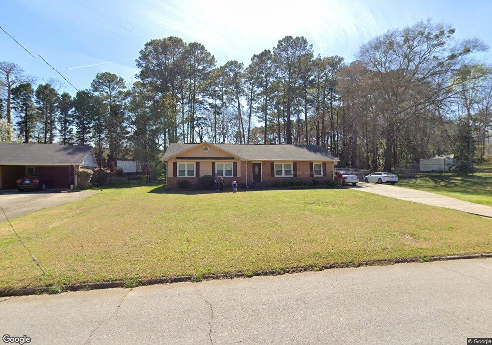
334 Brookridge Dr Lagrange, GA 30241
Estimated Value: $201,112 - $236,000
About This Home
This home is located at 334 Brookridge Dr, Lagrange, GA 30241 and is currently estimated at $222,528, approximately $113 per square foot. 334 Brookridge Dr is a home located in Troup County with nearby schools including Franklin Forest Elementary School, Hollis Hand Elementary School, and Ethel W. Kight Elementary School.
Ownership History
We collect this data history from publicly available records. To have your information removed, we recommend requesting removal directly through your county’s website.
Purchase Details
Purchase Details
Purchase Details
Purchase Details
Purchase Details
Purchase History
We collect this data history from publicly available records. To have your information removed, we recommend requesting removal directly through your county’s website.
| Date | Buyer | Sale Price | Title Company |
|---|---|---|---|
| $1,100 | -- | ||
| -- | -- | ||
| -- | -- | ||
| -- | -- | ||
| -- | -- |
Tax History
We collect this data history from publicly available records. To have your information removed, we recommend requesting removal directly through your county’s website.
| Year | Tax Paid | Tax Assessment Tax Assessment Total Assessment is a certain percentage of the fair market value that is determined by local assessors to be the total taxable value of land and additions on the property. | Land | Improvement |
|---|---|---|---|---|
| 2025 | $1,144 | $72,004 | $10,000 | $62,004 |
| 2024 | $988 | $63,136 | $10,000 | $53,136 |
| 2023 | $832 | $57,420 | $10,000 | $47,420 |
| 2022 | $774 | $54,100 | $10,000 | $44,100 |
| 2021 | $490 | $42,736 | $8,000 | $34,736 |
| 2020 | $1,229 | $42,736 | $8,000 | $34,736 |
| 2019 | $1,050 | $36,796 | $8,000 | $28,796 |
| 2018 | $972 | $34,228 | $6,800 | $27,428 |
| 2017 | $972 | $34,228 | $6,800 | $27,428 |
| 2016 | $943 | $33,256 | $6,800 | $26,456 |
| 2015 | $916 | $32,349 | $6,800 | $25,549 |
| 2014 | $875 | $31,004 | $6,800 | $24,204 |
| 2013 | -- | $32,798 | $6,800 | $25,998 |
Map
- 324 Park Hill Dr
- 102 Dogwood Dr
- 105 Dogwood Dr
- 202 Park Hill Dr
- 706 N Harlem Cir
- 172 Merrybrook Dr
- 131 Foch St
- 146 Cascade Cir
- 226 Hearthstone Dr
- 900 North St
- 120 North St
- 806 New Franklin Rd
- 133 Alton Dr
- 124 Melrose Dr
- 219 Banks St
- 179 Youngs Mill Rd
- 301 E Bacon St
- 0 Ridley Ave Unit 10550104
- 115 Daniel Ct
- 609 Ridley Ave
- 351 Laurel Ln
- 356 Hickory Terrace
- 330 Hickory Terrace
- 343 Laurel Ln
- 334 Hickory Terrace
- 358 Hickory Terrace
- 328 Hickory Terrace Unit 16
- 328 Hickory Terrace
- 325 Hickory Terrace
- 346 Laurel Ln
- 360 Hickory Terrace
- 326 Hickory Terrace Unit 15
- 326 Hickory Terrace
- 339 Laurel Ln
- 342 Laurel Ln
- 357 Brookridge Dr
- 322 Hickory Terrace
- 338 Laurel Ln
- 335 Park Hill Dr
- 331 Park Hill Dr
Ask me questions while you tour the home.