334 Dollar Rd Cairo, GA 39828
Cairo AreaEstimated Value: $423,444 - $529,000
About This Home
This home is located at 334 Dollar Rd, Cairo, GA 39828 and is currently estimated at $482,611, approximately $172 per square foot. 334 Dollar Rd is a home located in Grady County.
Ownership History
We collect this data history from publicly available records. To have your information removed, we recommend requesting removal directly through your county’s website.
Purchase Details
Home Financials for this Owner
Home Financials are based on the most recent Mortgage that was taken out on this home.Purchase Details
Purchase Details
Purchase History
We collect this data history from publicly available records. To have your information removed, we recommend requesting removal directly through your county’s website.
| Date | Buyer | Sale Price | Title Company |
|---|---|---|---|
| $250,000 | -- | ||
| $40,000 | -- | ||
| $4,500 | -- |
Mortgage History
We collect this data history from publicly available records. To have your information removed, we recommend requesting removal directly through your county’s website.
| Date | Status | Borrower | Loan Amount |
|---|---|---|---|
| Open | $160,000 | ||
| Previous Owner | $195,000 | ||
| Previous Owner | $196,000 |
Tax History
We collect this data history from publicly available records. To have your information removed, we recommend requesting removal directly through your county’s website.
| Year | Tax Paid | Tax Assessment Tax Assessment Total Assessment is a certain percentage of the fair market value that is determined by local assessors to be the total taxable value of land and additions on the property. | Land | Improvement |
|---|---|---|---|---|
| 2025 | $2,186 | $141,386 | $13,508 | $127,878 |
| 2024 | $2,186 | $113,997 | $13,508 | $100,489 |
| 2023 | $2,375 | $81,724 | $6,498 | $75,226 |
| 2022 | $2,373 | $81,724 | $6,498 | $75,226 |
| 2021 | $2,002 | $81,724 | $6,498 | $75,226 |
| 2020 | $2,007 | $81,724 | $6,498 | $75,226 |
| 2019 | $2,386 | $81,724 | $6,498 | $75,226 |
| 2018 | $1,883 | $81,724 | $6,498 | $75,226 |
| 2017 | $2,130 | $81,724 | $6,498 | $75,226 |
| 2016 | $1,817 | $70,043 | $6,498 | $63,545 |
| 2015 | $1,794 | $70,043 | $6,498 | $63,545 |
| 2014 | $1,939 | $85,167 | $8,748 | $76,419 |
| 2013 | -- | $70,399 | $11,372 | $59,027 |
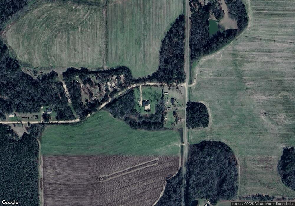
Map
- 161 Evergreen Ln
- 525 Bold Springs Rd
- 731 Old Thomasville Rd
- 196 Doe Run Dr
- 171 Blair Dr
- 160 Blair Dr
- 4014 U S Hwy 84 16 Acres
- 120 Blair Dr
- 130 Blair Dr
- 129 Alison Dr
- 3109 U S 84
- 3109 U S 84
- 341 Temple Terrace Cir
- 3718 Pine Park Rd
- 88 Ruby Ln
- 78.6 Ac Strickland Rd
- 79 27th St NE
- 2690 U S 84
- 73 27th St NE
- 9 25th St NE
- 334 Dollar Rd Unit 1
- 1569 Pierce Chapel Rd
- 1559 Pierce Chapel Rd
- 299 Dollar Rd
- 235 Dollar Rd
- 1478 Pierce Chapel Rd
- 1660 Pierce Chapel Rd
- 1462 Pierce Chapel Rd
- 1447 Pierce Chapel Rd
- 179 Dollar Rd
- 1436 Pierce Chapel Rd
- 1405 Pierce Chapel Rd
- 1452 Pierce Chapel Rd
- 121 Dollar Rd
- 252 Longleaf Ln
- 252 Longleaf Ln Unit 1
- 1375 Pierce Chapel Rd
- 642 Stanfill Rd
- 251 Longleaf Ln
- 632 Stanfill Rd
Ask me questions while you tour the home.