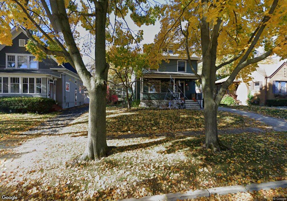
334 Elm St Elgin, IL 60123
Southwest Elgin NeighborhoodEstimated Value: $313,770 - $358,000
4
Beds
4
Baths
1,930
Sq Ft
$174/Sq Ft
Est. Value
About This Home
This home is located at 334 Elm St, Elgin, IL 60123 and is currently estimated at $334,943, approximately $173 per square foot. 334 Elm St is a home located in Kane County with nearby schools including Lowrie Elementary School, Abbott Middle School, and Larkin High School.
Ownership History
Date
Name
Owned For
Owner Type
Purchase Details
Closed on
Aug 31, 2011
Sold by
Graves Thomas P and Vetter Cheryl B
Bought by
Johnson Craig
Current Estimated Value
Home Financials for this Owner
Home Financials are based on the most recent Mortgage that was taken out on this home.
Original Mortgage
$161,664
Outstanding Balance
$112,436
Interest Rate
4.59%
Mortgage Type
VA
Estimated Equity
$222,507
Purchase Details
Closed on
Aug 28, 1997
Sold by
Schalz John T and Schalz Joanne L
Bought by
Graves Thomas P and Vetter Cheryl B
Home Financials for this Owner
Home Financials are based on the most recent Mortgage that was taken out on this home.
Original Mortgage
$142,178
Interest Rate
7.54%
Mortgage Type
FHA
Create a Home Valuation Report for This Property
The Home Valuation Report is an in-depth analysis detailing your home's value as well as a comparison with similar homes in the area
Home Values in the Area
Average Home Value in this Area
Purchase History
| Date | Buyer | Sale Price | Title Company |
|---|---|---|---|
| Johnson Craig | $156,500 | Baird & Warner Title Service | |
| Graves Thomas P | $96,666 | Chicago Title Insurance Co |
Source: Public Records
Mortgage History
| Date | Status | Borrower | Loan Amount |
|---|---|---|---|
| Open | Johnson Craig | $161,664 | |
| Previous Owner | Graves Thomas P | $142,178 |
Source: Public Records
Tax History
| Year | Tax Paid | Tax Assessment Tax Assessment Total Assessment is a certain percentage of the fair market value that is determined by local assessors to be the total taxable value of land and additions on the property. | Land | Improvement |
|---|---|---|---|---|
| 2024 | $6,749 | $92,331 | $14,313 | $78,018 |
| 2023 | $6,429 | $83,414 | $12,931 | $70,483 |
| 2022 | $6,075 | $76,059 | $11,791 | $64,268 |
| 2021 | $5,809 | $71,110 | $11,024 | $60,086 |
| 2020 | $5,644 | $67,885 | $10,524 | $57,361 |
| 2019 | $5,479 | $64,665 | $10,025 | $54,640 |
| 2018 | $5,491 | $61,542 | $9,444 | $52,098 |
| 2017 | $5,367 | $58,179 | $8,928 | $49,251 |
| 2016 | $5,117 | $53,975 | $8,283 | $45,692 |
| 2015 | -- | $49,473 | $7,592 | $41,881 |
| 2014 | -- | $48,862 | $7,498 | $41,364 |
| 2013 | -- | $50,151 | $7,696 | $42,455 |
Source: Public Records
Map
Nearby Homes
- 410 Standish St
- 224 Moseley St
- 331 Orange St
- 208 Moseley St
- 453 Orchard St
- 3 National St Unit 3
- 7 National St Unit 7
- 133 Oak St
- 96 S Crystal St
- 315 Vandalia St
- 462 Ashland Ave
- 532 South St
- 756 Walnut Ave
- 761 South St
- 118 S Union St
- 50 Sheridan St
- 9 N Jackson St
- 162 Festival Ct
- 211 Prairie St
- 118 Wilcox Ave
Your Personal Tour Guide
Ask me questions while you tour the home.