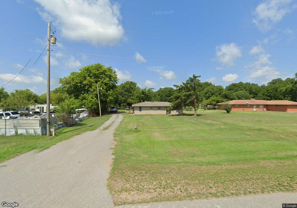
334 Highway 425 Pine Bluff, AR 71601
Estimated Value: $74,942 - $106,000
Studio
2
Baths
1,452
Sq Ft
$62/Sq Ft
Est. Value
About This Home
This home is located at 334 Highway 425, Pine Bluff, AR 71601 and is currently estimated at $90,736, approximately $62 per square foot. 334 Highway 425 is a home located in Jefferson County with nearby schools including Matthews Elementary School and Dollarway High School.
Ownership History
Date
Name
Owned For
Owner Type
Purchase Details
Closed on
Dec 6, 2016
Sold by
Gossett Johnny and Gossett Rebecca
Bought by
Gossett James H and Gossett Rebecca
Current Estimated Value
Home Financials for this Owner
Home Financials are based on the most recent Mortgage that was taken out on this home.
Original Mortgage
$22,000
Outstanding Balance
$6,748
Interest Rate
3.57%
Mortgage Type
New Conventional
Estimated Equity
$83,988
Purchase Details
Closed on
Apr 16, 2012
Sold by
Evans James and Evans Verlene
Bought by
Gossett James H and Gossett Rebecca
Purchase Details
Closed on
Aug 11, 1993
Bought by
Evans James and Evans Wf
Purchase Details
Closed on
Jul 26, 1993
Bought by
Bradshaw Hershel
Purchase Details
Closed on
Feb 10, 1987
Bought by
Porter Jamie B
Create a Home Valuation Report for This Property
The Home Valuation Report is an in-depth analysis detailing your home's value as well as a comparison with similar homes in the area
Purchase History
| Date | Buyer | Sale Price | Title Company |
|---|---|---|---|
| Gossett James H | -- | Pine Bluff Title | |
| Gossett James H | -- | -- | |
| Evans James | $25,000 | -- | |
| Bradshaw Hershel | -- | -- | |
| Porter Jamie B | -- | -- |
Source: Public Records
Mortgage History
| Date | Status | Borrower | Loan Amount |
|---|---|---|---|
| Open | Gossett James H | $22,000 |
Source: Public Records
Tax History
| Year | Tax Paid | Tax Assessment Tax Assessment Total Assessment is a certain percentage of the fair market value that is determined by local assessors to be the total taxable value of land and additions on the property. | Land | Improvement |
|---|---|---|---|---|
| 2025 | $37 | $9,470 | $2,580 | $6,890 |
| 2024 | $37 | $9,470 | $2,580 | $6,890 |
| 2023 | $37 | $9,470 | $2,580 | $6,890 |
| 2022 | $37 | $6,430 | $960 | $5,470 |
| 2021 | $2 | $6,430 | $960 | $5,470 |
| 2020 | $2 | $6,430 | $960 | $5,470 |
| 2019 | $32 | $6,430 | $960 | $5,470 |
| 2018 | $2 | $6,430 | $960 | $5,470 |
| 2017 | $32 | $6,380 | $960 | $5,420 |
| 2016 | $32 | $6,380 | $960 | $5,420 |
| 2015 | $328 | $6,380 | $960 | $5,420 |
| 2014 | -- | $6,190 | $960 | $5,230 |
Source: Public Records
Map
Nearby Homes
- TBD E 6th Ave
- 2407 King Ave
- 3705 Mobile St
- 3602 Mobile St
- Tract G Osborn Rd
- Tract C Osborn Rd
- Tract B Osborn Rd
- 00 Osborn Rd
- Tract F Osborn Rd
- 3407 U S 65
- 2702 S Belair Dr
- 2700 S Belair Dr
- 0 U S 79
- 2710 S Belair Dr
- 2810 Claremont Ave
- 2713 Claremont Ave
- 2707 Colonial Ave
- 1902 E 38th Ave
- 000 E 38th Ave
- 1401 Ashley Dr
- 330 Highway 425
- 326 Highway 425
- 320 Highway 425
- 401 Highway 425
- 0 Highway 425 Unit 10377360
- 0 Highway 425 Unit 20018390
- 316 Highway 425
- 308 Highway 425
- 308 U S 425
- 407 Highway 425
- 415 Highway 425
- 417 Highway 425
- 4718 Crofford Rd
- 300 Highway 425
- 422 Highway 425
- 421 Highway 425
- 226 Highway 425
- 425 Highway 425
- 224 Highway 425
- 4610 Crofford Rd
Your Personal Tour Guide
Ask me questions while you tour the home.