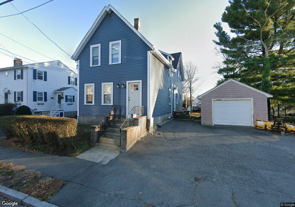
335 E Foster St Unit 1 Melrose, MA 02176
Melrose East Side NeighborhoodEstimated Value: $848,898 - $1,085,000
2
Beds
1
Bath
900
Sq Ft
$1,042/Sq Ft
Est. Value
About This Home
This home is located at 335 E Foster St Unit 1, Melrose, MA 02176 and is currently estimated at $937,475, approximately $1,041 per square foot. 335 E Foster St Unit 1 is a home located in Middlesex County with nearby schools including Winthrop Elementary School, Hoover Elementary School, and Horace Mann Elementary School.
Ownership History
Date
Name
Owned For
Owner Type
Purchase Details
Closed on
Jul 12, 2023
Sold by
Perrotti Donald J
Bought by
335 East Foster St Llc
Current Estimated Value
Purchase Details
Closed on
Dec 20, 1991
Sold by
Gaige Esther
Bought by
Perrotti Donald J
Home Financials for this Owner
Home Financials are based on the most recent Mortgage that was taken out on this home.
Original Mortgage
$108,750
Interest Rate
8.68%
Mortgage Type
Purchase Money Mortgage
Create a Home Valuation Report for This Property
The Home Valuation Report is an in-depth analysis detailing your home's value as well as a comparison with similar homes in the area
Home Values in the Area
Average Home Value in this Area
Purchase History
We collect this data history from publicly available records. To have your information removed, we recommend requesting removal directly through your county’s website.
| Date | Buyer | Sale Price | Title Company |
|---|---|---|---|
| 335 East Foster St Llc | -- | None Available | |
| Perrotti Donald J | $145,000 | -- |
Source: Public Records
Mortgage History
We collect this data history from publicly available records. To have your information removed, we recommend requesting removal directly through your county’s website.
| Date | Status | Borrower | Loan Amount |
|---|---|---|---|
| Previous Owner | Perrotti Donald J | $95,000 | |
| Previous Owner | Perrotti Donald J | $10,000 | |
| Previous Owner | Perrotti Donald J | $108,750 |
Source: Public Records
Tax History
| Year | Tax Paid | Tax Assessment Tax Assessment Total Assessment is a certain percentage of the fair market value that is determined by local assessors to be the total taxable value of land and additions on the property. | Land | Improvement |
|---|---|---|---|---|
| 2025 | $75 | $760,500 | $462,900 | $297,600 |
| 2024 | $7,111 | $716,100 | $434,800 | $281,300 |
| 2023 | $7,237 | $694,500 | $420,800 | $273,700 |
| 2022 | $7,247 | $685,600 | $420,800 | $264,800 |
| 2021 | $6,842 | $624,800 | $392,700 | $232,100 |
| 2020 | $6,408 | $579,900 | $350,700 | $229,200 |
| 2019 | $5,900 | $545,800 | $324,000 | $221,800 |
| 2018 | $5,767 | $509,000 | $294,600 | $214,400 |
| 2017 | $5,614 | $475,800 | $280,500 | $195,300 |
| 2016 | $5,557 | $450,700 | $273,500 | $177,200 |
| 2015 | $5,463 | $421,500 | $245,500 | $176,000 |
| 2014 | $4,997 | $376,300 | $217,400 | $158,900 |
Source: Public Records
Map
Nearby Homes
- 214 Laurel St
- 25 Cumner Ave
- 228 Upham St
- 29 East St
- 21 Vista St
- 26 Garfield Rd
- 71-73 Grove St
- 639 Lynn Fells Pkwy
- 646 Lynn Fells Pkwy
- 247 Lebanon St
- 8 Crystal St Unit 2
- 8 Crystal St Unit 3
- 2 Grove Place
- 62 Elm St
- 31 Temple St
- 534 Main St Unit 11
- 28 Edgemere St
- 12 Stevens Place
- 161 Green St
- 180 Green St Unit 101
- 335 E Foster St
- 337 E Foster St
- 327 E Foster St
- 343 E Foster St
- 334 E Foster St
- 321 E Foster St
- 338 E Foster St
- 328 E Foster St
- 347 E Foster St
- 158 Laurel St
- 162 Laurel St
- 322 E Foster St
- 156 Laurel St
- 166 Laurel St
- 317 E Foster St
- 346 E Foster St
- 318 E Foster St
- 152 Laurel St
- 353 E Foster St
- 168 Laurel St
Your Personal Tour Guide
Ask me questions while you tour the home.