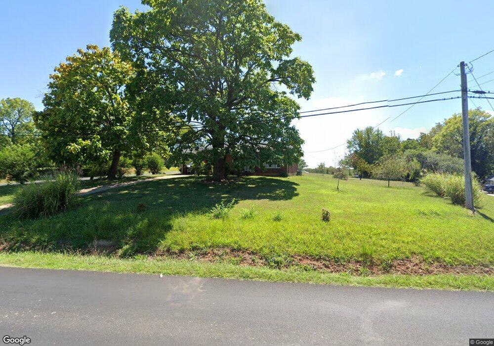
335 Elon Rd Madison Heights, VA 24572
Estimated Value: $175,795 - $218,000
3
Beds
1
Bath
1,036
Sq Ft
$192/Sq Ft
Est. Value
About This Home
This home is located at 335 Elon Rd, Madison Heights, VA 24572 and is currently estimated at $199,199, approximately $192 per square foot. 335 Elon Rd is a home located in Amherst County with nearby schools including Amelon Elementary School, Monelison Middle School, and Amherst County High School.
Ownership History
Date
Name
Owned For
Owner Type
Purchase Details
Closed on
Dec 20, 2016
Sold by
Baldock Carroll D
Bought by
Harless Charles R
Current Estimated Value
Home Financials for this Owner
Home Financials are based on the most recent Mortgage that was taken out on this home.
Original Mortgage
$112,520
Outstanding Balance
$89,796
Interest Rate
3.57%
Mortgage Type
New Conventional
Estimated Equity
$109,403
Purchase Details
Closed on
Sep 30, 2015
Sold by
Heaggans Andrews Natalie and Foxx Michelle Lynnette
Bought by
Baldock Carroll D
Create a Home Valuation Report for This Property
The Home Valuation Report is an in-depth analysis detailing your home's value as well as a comparison with similar homes in the area
Home Values in the Area
Average Home Value in this Area
Purchase History
| Date | Buyer | Sale Price | Title Company |
|---|---|---|---|
| Harless Charles R | $116,000 | Reliance Title & Stlmnt Llc | |
| Baldock Carroll D | $53,000 | Attorney |
Source: Public Records
Mortgage History
| Date | Status | Borrower | Loan Amount |
|---|---|---|---|
| Open | Harless Charles R | $112,520 |
Source: Public Records
Tax History
| Year | Tax Paid | Tax Assessment Tax Assessment Total Assessment is a certain percentage of the fair market value that is determined by local assessors to be the total taxable value of land and additions on the property. | Land | Improvement |
|---|---|---|---|---|
| 2026 | $1,148 | $188,200 | $30,000 | $158,200 |
| 2025 | $545 | $89,300 | $25,000 | $64,300 |
| 2024 | $545 | $89,300 | $25,000 | $64,300 |
| 2023 | $545 | $89,300 | $25,000 | $64,300 |
| 2022 | $545 | $89,300 | $25,000 | $64,300 |
| 2021 | $545 | $89,300 | $25,000 | $64,300 |
| 2020 | $545 | $89,300 | $25,000 | $64,300 |
| 2019 | $557 | $91,300 | $31,000 | $60,300 |
| 2018 | $557 | $91,300 | $31,000 | $60,300 |
| 2017 | $557 | $91,300 | $31,000 | $60,300 |
| 2016 | $557 | $91,300 | $31,000 | $60,300 |
| 2015 | $511 | $91,300 | $31,000 | $60,300 |
| 2014 | $511 | $91,300 | $31,000 | $60,300 |
Source: Public Records
Map
Nearby Homes
- 115 Morgan Rd
- 833 Elon Rd
- 775 Elon Rd
- 111 Idlebrook Dr
- 687 Elon Rd
- 4123 S Amherst Hwy
- 561 Oak Grove Dr
- 122 Gouyer Dr
- 143 Shannon Dr
- 505 Royal Gardens Ct
- 327 Dixie Airport Rd
- 0 Kings Rd Unit 364010
- 103 Cedar St
- 208 Stratford Place
- TBD Stratford Place Unit 66
- 205 Woodrow Ave
- 282 Shady Oak Dr
- 1 Lot Blue Sky Ct
- 1860 S Coolwell Rd
- 116 Winridge Dr
Your Personal Tour Guide
Ask me questions while you tour the home.