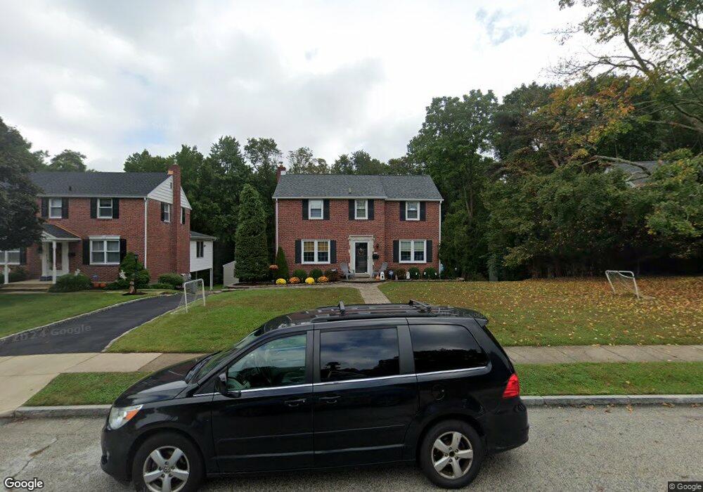
335 Holt Ln Springfield, PA 19064
Estimated Value: $435,000 - $591,000
3
Beds
3
Baths
1,671
Sq Ft
$294/Sq Ft
Est. Value
About This Home
This home is located at 335 Holt Ln, Springfield, PA 19064 and is currently estimated at $491,844, approximately $294 per square foot. 335 Holt Ln is a home located in Delaware County with nearby schools including Springfield High School, St Francis Of Assisi School, and Notre Dame De Lourdes Catholic School.
Ownership History
Date
Name
Owned For
Owner Type
Purchase Details
Closed on
Apr 5, 2002
Sold by
Ganci Joseph and Ganci Christopher
Bought by
Jeffrey Christopher H and Jeffrey Michelle L
Current Estimated Value
Home Financials for this Owner
Home Financials are based on the most recent Mortgage that was taken out on this home.
Original Mortgage
$162,900
Outstanding Balance
$67,674
Interest Rate
6.84%
Mortgage Type
Purchase Money Mortgage
Estimated Equity
$424,170
Create a Home Valuation Report for This Property
The Home Valuation Report is an in-depth analysis detailing your home's value as well as a comparison with similar homes in the area
Home Values in the Area
Average Home Value in this Area
Purchase History
| Date | Buyer | Sale Price | Title Company |
|---|---|---|---|
| Jeffrey Christopher H | $181,000 | Commonwealth Land Title Ins |
Source: Public Records
Mortgage History
| Date | Status | Borrower | Loan Amount |
|---|---|---|---|
| Open | Jeffrey Christopher H | $162,900 |
Source: Public Records
Tax History
| Year | Tax Paid | Tax Assessment Tax Assessment Total Assessment is a certain percentage of the fair market value that is determined by local assessors to be the total taxable value of land and additions on the property. | Land | Improvement |
|---|---|---|---|---|
| 2025 | $8,616 | $306,560 | $101,650 | $204,910 |
| 2024 | $8,616 | $306,560 | $101,650 | $204,910 |
| 2023 | $8,297 | $306,560 | $101,650 | $204,910 |
| 2022 | $8,117 | $306,560 | $101,650 | $204,910 |
| 2021 | $12,571 | $306,560 | $101,650 | $204,910 |
| 2020 | $6,159 | $135,910 | $48,870 | $87,040 |
| 2019 | $6,014 | $135,910 | $48,870 | $87,040 |
| 2018 | $5,928 | $135,910 | $0 | $0 |
| 2017 | $5,791 | $135,910 | $0 | $0 |
| 2016 | $746 | $122,660 | $0 | $0 |
| 2015 | $687 | $122,660 | $0 | $0 |
| 2014 | $687 | $122,660 | $0 | $0 |
Source: Public Records
Map
Nearby Homes
- 1363 Palmer Dr Unit O122
- 525 N Swarthmore Ave
- 493 Wheatsheaf Rd
- 519 Walnut Ln Unit 1
- 1291 Country Club Dr Unit Q137
- 249 Gleaves Rd
- 231 E Woodland Ave
- 364 S Rolling Rd
- 933 Greenbriar Ln
- 264 Pancoast Ave
- 720 Evans Rd
- 658 E Leamy Ave
- 359 Spring Valley Rd
- 114 Providence Rd
- 253 Saxer Ave
- 110 Park Ave Unit 370
- 110 Park Ave Unit 350
- 110 Park Ave Unit 250
- 110 Park Ave Unit 320
- 110 Park Ave Unit 220
Your Personal Tour Guide
Ask me questions while you tour the home.