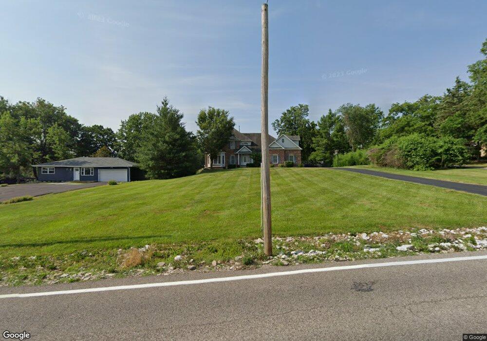
335 Summit Rd Fenton, MO 63026
Estimated Value: $502,000 - $713,603
4
Beds
5
Baths
4,652
Sq Ft
$137/Sq Ft
Est. Value
About This Home
This home is located at 335 Summit Rd, Fenton, MO 63026 and is currently estimated at $637,901, approximately $137 per square foot. 335 Summit Rd is a home located in St. Louis County with nearby schools including Concord Elementary School, Sperreng Middle School, and Lindbergh High School.
Ownership History
Date
Name
Owned For
Owner Type
Purchase Details
Closed on
Jun 6, 2007
Sold by
Edgewater Point Llc
Bought by
Worth Matthew E and Worth Jacqueline A
Current Estimated Value
Home Financials for this Owner
Home Financials are based on the most recent Mortgage that was taken out on this home.
Original Mortgage
$316,000
Interest Rate
6.15%
Mortgage Type
Purchase Money Mortgage
Purchase Details
Closed on
Apr 15, 2005
Sold by
Giegling Timothy J and Giegling Ann M
Bought by
Edgewater Pointe Llc
Home Financials for this Owner
Home Financials are based on the most recent Mortgage that was taken out on this home.
Original Mortgage
$403,467
Interest Rate
5.89%
Mortgage Type
Purchase Money Mortgage
Create a Home Valuation Report for This Property
The Home Valuation Report is an in-depth analysis detailing your home's value as well as a comparison with similar homes in the area
Purchase History
| Date | Buyer | Sale Price | Title Company |
|---|---|---|---|
| Worth Matthew E | $514,000 | None Available | |
| Edgewater Pointe Llc | $406,500 | Htc |
Source: Public Records
Mortgage History
| Date | Status | Borrower | Loan Amount |
|---|---|---|---|
| Previous Owner | Worth Matthew E | $316,000 | |
| Previous Owner | Edgewater Pointe Llc | $403,467 |
Source: Public Records
Tax History
| Year | Tax Paid | Tax Assessment Tax Assessment Total Assessment is a certain percentage of the fair market value that is determined by local assessors to be the total taxable value of land and additions on the property. | Land | Improvement |
|---|---|---|---|---|
| 2025 | $8,130 | $114,000 | $37,620 | $76,380 |
| 2024 | $8,130 | $114,000 | $24,090 | $89,910 |
| 2023 | $8,113 | $114,000 | $24,090 | $89,910 |
| 2022 | $8,913 | $120,480 | $24,090 | $96,390 |
| 2021 | $8,867 | $120,480 | $24,090 | $96,390 |
| 2020 | $8,382 | $109,940 | $16,590 | $93,350 |
| 2019 | $8,360 | $109,940 | $16,590 | $93,350 |
| 2018 | $7,816 | $96,100 | $12,670 | $83,430 |
| 2017 | $7,734 | $96,100 | $12,670 | $83,430 |
| 2016 | $5,819 | $72,310 | $10,960 | $61,350 |
Source: Public Records
Map
Nearby Homes
- 000 Gravois Summit
- 87 Fall Meadow Ct
- 740 Spring Crest Ct
- 919 Oak Dr
- 425 Roosevelt Woods Ct
- 907 Oak Dr
- 520 May Valley Dr
- 975 Arlington Glen Dr
- 831 Oak Dr
- 1230 Summit Meadows Dr
- 484 Summit Tree Ct
- 78 Poppy Dr Unit 78
- 819 Horizon Ln
- 564 Oakwood Dr
- 818 Mary Lee Ct
- 711 Mosely Ct
- 687 Green Forest Dr
- 811 Mary Lee Ct
- 53 Lois Ln
- 800 Mary Lee Ct
- 339 Summit Rd
- 329 Summit Rd
- 340 Summit Rd
- 345 Summit Rd
- 350 Gravois Place
- 332 Summit Rd
- 344 Gravois Place
- 354 Gravois Place
- 348 Gravois Place
- 325 Summit Rd
- 348 Summit Rd
- 326 Summit Rd
- 370 Summit Rd
- 360 Gravois Place
- 351 Summit Rd
- 340 Gravois Place
- 358 Summit Rd
- 866 Summit Bluff Ct
- 860 Summit Bluff Ct
- 856 Summit Bluff Ct
Your Personal Tour Guide
Ask me questions while you tour the home.