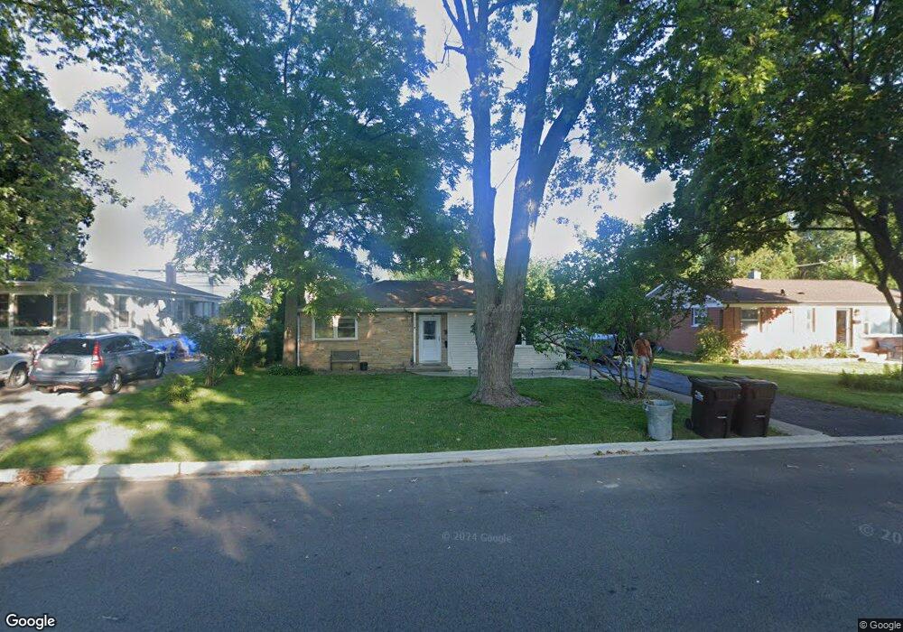
336 Bangs St Wauconda, IL 60084
Estimated Value: $210,345 - $278,000
Studio
1
Bath
1,186
Sq Ft
$199/Sq Ft
Est. Value
About This Home
This home is located at 336 Bangs St, Wauconda, IL 60084 and is currently estimated at $236,336, approximately $199 per square foot. 336 Bangs St is a home located in Lake County with nearby schools including Wauconda Grade School, Wauconda Middle School, and Wauconda High School.
Ownership History
Date
Name
Owned For
Owner Type
Purchase Details
Closed on
May 17, 1996
Sold by
Grand National Bank
Bought by
Depue Kristin S
Current Estimated Value
Home Financials for this Owner
Home Financials are based on the most recent Mortgage that was taken out on this home.
Original Mortgage
$81,600
Outstanding Balance
$2,151
Interest Rate
7.05%
Estimated Equity
$234,185
Create a Home Valuation Report for This Property
The Home Valuation Report is an in-depth analysis detailing your home's value as well as a comparison with similar homes in the area
Home Values in the Area
Average Home Value in this Area
Purchase History
| Date | Buyer | Sale Price | Title Company |
|---|---|---|---|
| Depue Kristin S | $102,000 | Chicago Title Insurance Co |
Source: Public Records
Mortgage History
| Date | Status | Borrower | Loan Amount |
|---|---|---|---|
| Open | Depue Kristin S | $81,600 |
Source: Public Records
Tax History
| Year | Tax Paid | Tax Assessment Tax Assessment Total Assessment is a certain percentage of the fair market value that is determined by local assessors to be the total taxable value of land and additions on the property. | Land | Improvement |
|---|---|---|---|---|
| 2024 | $4,536 | $59,254 | $13,671 | $45,583 |
| 2023 | $4,563 | $54,162 | $12,496 | $41,666 |
| 2022 | $4,563 | $47,822 | $12,548 | $35,274 |
| 2021 | $4,338 | $45,188 | $11,857 | $33,331 |
| 2020 | $4,183 | $43,069 | $11,301 | $31,768 |
| 2019 | $3,702 | $40,704 | $10,680 | $30,024 |
| 2018 | $4,289 | $43,317 | $12,417 | $30,900 |
| 2017 | $4,283 | $42,816 | $12,273 | $30,543 |
| 2016 | $4,004 | $40,545 | $11,622 | $28,923 |
| 2015 | $3,733 | $37,221 | $10,669 | $26,552 |
| 2014 | $3,265 | $34,360 | $12,493 | $21,867 |
| 2012 | $3,208 | $33,960 | $11,953 | $22,007 |
Source: Public Records
Map
Nearby Homes
- 124 Hubbard Ct
- 227 Kimball Ave
- 155 E Mill St Unit 8
- 450 N Main St Unit S208A
- 330 Indian Ridge Trail
- 27071 N Ridge St
- 214 Minerva Ave
- 25586 W High St
- 25578 W High St
- 25570 W High St
- 555 Meadowview Dr
- 26630 N Pheasant Trail
- 360 Promontory Ln Unit B
- 360 Promontory Ln Unit D
- 25817 W Cook St
- 365 Lake Ave Unit C
- 304 Hill St Unit 1004
- 428 Country Lane Ct Unit 301
- 159 Parkview Dr Unit 159
- 225 Regency Ct Unit A
Your Personal Tour Guide
Ask me questions while you tour the home.