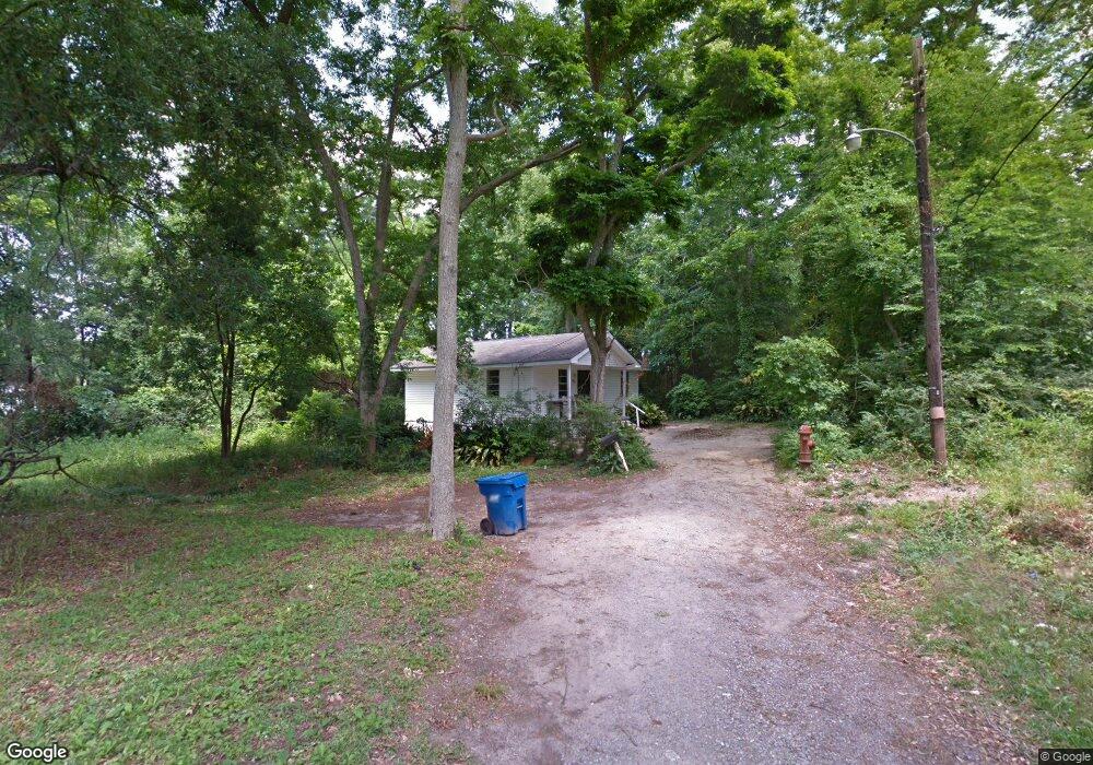
337 B St Mobile, AL 36610
East Prichard NeighborhoodEstimated Value: $36,000 - $62,000
About This Home
This home is located at 337 B St, Mobile, AL 36610 and is currently estimated at $47,538, approximately $72 per square foot. 337 B St is a home located in Mobile County with nearby schools including Grant Elementary School, Mobile Co Training Middle School, and Vigor High School.
Ownership History
We collect this data history from publicly available records. To have your information removed, we recommend requesting removal directly through your county’s website.
Purchase Details
Purchase Details
Home Financials for this Owner
Home Financials are based on the most recent Mortgage that was taken out on this home.Purchase Details
Purchase Details
Home Values in the Area
Average Home Value in this Area
Purchase History
We collect this data history from publicly available records. To have your information removed, we recommend requesting removal directly through your county’s website.
| Date | Buyer | Sale Price | Title Company |
|---|---|---|---|
| $15,000 | None Available | ||
| $17,000 | Surety Land Title | ||
| $2,000 | None Available | ||
| $29,900 | None Available |
Mortgage History
We collect this data history from publicly available records. To have your information removed, we recommend requesting removal directly through your county’s website.
| Date | Status | Borrower | Loan Amount |
|---|---|---|---|
| Closed | $15,000 |
Tax History
We collect this data history from publicly available records. To have your information removed, we recommend requesting removal directly through your county’s website.
| Year | Tax Paid | Tax Assessment Tax Assessment Total Assessment is a certain percentage of the fair market value that is determined by local assessors to be the total taxable value of land and additions on the property. | Land | Improvement |
|---|---|---|---|---|
| 2025 | $142 | $2,180 | $800 | $1,380 |
| 2024 | $142 | $2,000 | $540 | $1,460 |
| 2023 | $129 | $2,100 | $540 | $1,560 |
| 2022 | $116 | $1,880 | $480 | $1,400 |
| 2021 | $129 | $2,100 | $540 | $1,560 |
| 2020 | $129 | $2,100 | $540 | $1,560 |
| 2019 | $138 | $2,240 | $480 | $1,760 |
| 2018 | $138 | $2,240 | $0 | $0 |
| 2017 | $138 | $2,240 | $0 | $0 |
| 2016 | $144 | $2,340 | $0 | $0 |
| 2013 | $128 | $2,000 | $0 | $0 |
Map
- 712 Tate Ct
- 317 W Main St
- 0 W Prichard Ave Unit 7750337
- 721 Gilbert St
- 2803 S College St Unit LOT 4 BLK 7
- 2803 S College St
- 814 Beck Ave
- 220 Sinclair Ave
- 626 Percy Ave
- 38 Flock Ave
- 2316 Osage St
- 504 S Price Ave
- 1722 McCants Ave
- 331 Irby St
- 859 Carleton Ave
- 1203 Next St
- 1425 Next St
- 1425 Next St Unit 2
- 871 Banneker Ct
- 900 Summerville St
Ask me questions while you tour the home.