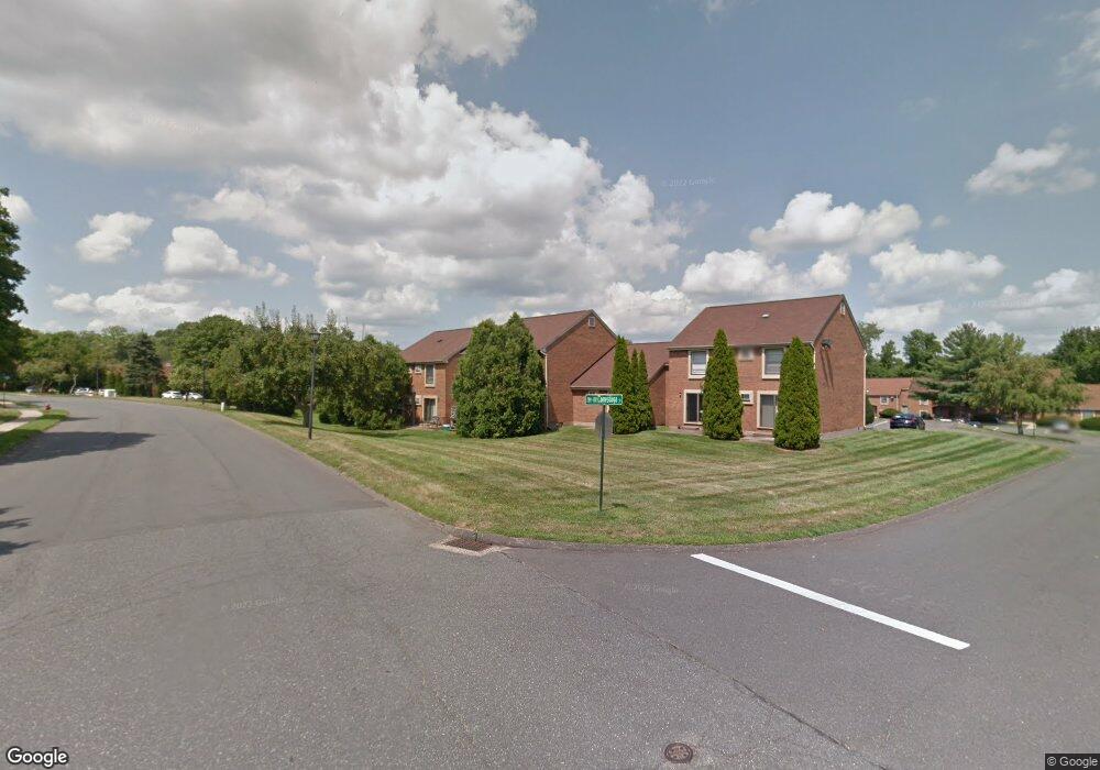
337 Conestoga St Windsor, CT 06095
Estimated Value: $101,062 - $258,000
1
Bed
1
Bath
743
Sq Ft
$255/Sq Ft
Est. Value
About This Home
This home is located at 337 Conestoga St, Windsor, CT 06095 and is currently estimated at $189,516, approximately $255 per square foot. 337 Conestoga St is a home located in Hartford County with nearby schools including Oliver Ellsworth School, John F. Kennedy School, and Sage Park Middle School.
Ownership History
Date
Name
Owned For
Owner Type
Purchase Details
Closed on
Mar 29, 2023
Sold by
Teg Rb Condos 2 Llc
Bought by
Teg Rb Condos 2 Llc and Teg Rivers Bend Eco Llc
Current Estimated Value
Home Financials for this Owner
Home Financials are based on the most recent Mortgage that was taken out on this home.
Original Mortgage
$61,000,000
Outstanding Balance
$59,208,904
Interest Rate
6.5%
Mortgage Type
Purchase Money Mortgage
Estimated Equity
-$59,019,388
Purchase Details
Closed on
Mar 23, 2022
Sold by
Judge Eric R and Judge Mae
Bought by
Teg Rb Condos 2 Llc
Create a Home Valuation Report for This Property
The Home Valuation Report is an in-depth analysis detailing your home's value as well as a comparison with similar homes in the area
Home Values in the Area
Average Home Value in this Area
Purchase History
| Date | Buyer | Sale Price | Title Company |
|---|---|---|---|
| Teg Rb Condos 2 Llc | $5,635,642 | None Available | |
| Teg Rb Condos 2 Llc | $110,000 | None Available |
Source: Public Records
Mortgage History
| Date | Status | Borrower | Loan Amount |
|---|---|---|---|
| Open | Teg Rb Condos 2 Llc | $61,000,000 |
Source: Public Records
Tax History
| Year | Tax Paid | Tax Assessment Tax Assessment Total Assessment is a certain percentage of the fair market value that is determined by local assessors to be the total taxable value of land and additions on the property. | Land | Improvement |
|---|---|---|---|---|
| 2025 | $2,533 | $89,040 | $0 | $89,040 |
| 2024 | $2,700 | $89,040 | $0 | $89,040 |
| 2023 | $1,444 | $42,980 | $0 | $42,980 |
| 2022 | $1,430 | $42,980 | $0 | $42,980 |
| 2021 | $1,430 | $42,980 | $0 | $42,980 |
| 2020 | $1,423 | $42,980 | $0 | $42,980 |
| 2019 | $1,392 | $42,980 | $0 | $42,980 |
| 2018 | $1,020 | $30,940 | $0 | $30,940 |
| 2017 | $1,004 | $30,940 | $0 | $30,940 |
| 2016 | $975 | $30,940 | $0 | $30,940 |
| 2015 | $957 | $30,940 | $0 | $30,940 |
| 2014 | $943 | $30,940 | $0 | $30,940 |
Source: Public Records
Map
Nearby Homes
- 490 Old Day Hill Rd
- 39 Warham St
- 268 High Path Rd Unit 268
- 22 Eastview Dr
- 943 High Path Rd Unit 943
- 136 High Path Rd
- 98 High Path Rd
- 39 Old Kennedy Rd
- 9 Brown Ave
- 16 Brown Ave
- 105 Trent Dr
- 1 Deanne Lynn Cir
- 1333 Palisado Ave
- 66 Maple Ave
- 44 Maple Ave
- 30 Parkwood Dr
- 24 MacKtown Rd
- 485 River St
- 957 Palisado Ave
- 28 Sycamore St
- 338 Conestoga St
- 339 Conestoga St
- 340 Conestoga St
- 341 Conestoga St
- 341 Conestoga St Unit 341
- 342 Conestoga St
- 336 Conestoga St
- 343 Conestoga St
- 335 Conestoga St
- 334 Conestoga St
- 344 Conestoga St
- 345 Conestoga St
- 333 Conestoga St
- 346 Conestoga St
- 332 Conestoga St
- 347 Conestoga St
- 348 Conestoga St
- 349 Conestoga St
- 331 Conestoga St
- 331 Conestoga St Unit 331
Your Personal Tour Guide
Ask me questions while you tour the home.