337 Scott Dr Payson, AZ 85541
Estimated Value: $488,324 - $878,000
Studio
--
Bath
4,461
Sq Ft
$138/Sq Ft
Est. Value
About This Home
This home is located at 337 Scott Dr, Payson, AZ 85541 and is currently estimated at $617,831, approximately $138 per square foot. 337 Scott Dr is a home located in Gila County with nearby schools including Julia Randall Elementary School, Payson Elementary School, and Rim Country Middle School.
Ownership History
Date
Name
Owned For
Owner Type
Purchase Details
Closed on
Jun 10, 2025
Sold by
Young Troy Lee
Bought by
Troy Lee Young And Roberta Mae Young Living T and Young
Current Estimated Value
Purchase Details
Closed on
Jul 29, 2010
Sold by
Young Troy Lee and Young Roberta Mae
Bought by
Young Troy Lee and Young Roberta Mae
Home Financials for this Owner
Home Financials are based on the most recent Mortgage that was taken out on this home.
Original Mortgage
$243,500
Interest Rate
4.71%
Create a Home Valuation Report for This Property
The Home Valuation Report is an in-depth analysis detailing your home's value as well as a comparison with similar homes in the area
Purchase History
| Date | Buyer | Sale Price | Title Company |
|---|---|---|---|
| Troy Lee Young And Roberta Mae Young Living T | -- | None Listed On Document | |
| Young Troy Lee | -- | Pioneer Title Agency |
Source: Public Records
Mortgage History
| Date | Status | Borrower | Loan Amount |
|---|---|---|---|
| Previous Owner | Young Troy Lee | $243,500 |
Source: Public Records
Tax History
| Year | Tax Paid | Tax Assessment Tax Assessment Total Assessment is a certain percentage of the fair market value that is determined by local assessors to be the total taxable value of land and additions on the property. | Land | Improvement |
|---|---|---|---|---|
| 2026 | $2,879 | $55,180 | $2,930 | $52,250 |
| 2025 | $2,879 | -- | -- | -- |
| 2024 | $2,611 | $30,085 | $3,964 | $26,121 |
| 2023 | $2,611 | $20,889 | $3,495 | $17,394 |
| 2022 | $2,628 | $20,967 | $3,113 | $17,854 |
| 2021 | $2,685 | $20,968 | $3,113 | $17,855 |
| 2020 | $2,746 | $0 | $0 | $0 |
| 2019 | $2,702 | $0 | $0 | $0 |
| 2018 | $2,618 | $0 | $0 | $0 |
| 2017 | $2,502 | $0 | $0 | $0 |
| 2016 | $2,515 | $0 | $0 | $0 |
| 2015 | $2,865 | $0 | $0 | $0 |
Source: Public Records
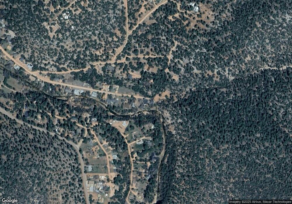
Map
Nearby Homes
- 424 W Blackberry Ln
- 443 W Neal Spur
- 11180 N Houton Mesa Rd Unit 77
- 11180 N Houston Mesa Rd
- 298 S Conifer Dr
- 350 S Canyon Dr
- 560 N Javelina Rd
- 838 S Palomino Way
- 702 S Palomino Dr
- 1040 S Palomino Place
- 134 E Belluzzi Blvd
- 167 E Belluzzi Blvd
- 228 E Belluzzi Blvd
- 415 E Rim Estates Trail
- 124 W Patriot Dr
- 125 Tomahawk Rd
- 688 W Cocopah Ln
- 812 W Munsee Dr
- 437 W Elusive Dr
- 1187 W Paint Pony Dr
- 353 W Meadows Place
- 353 W Meadows Place
- 327 W Scott Dr
- 369 Scott Dr
- 353 Raccoon Ln
- 355 W Meadows Place
- 360 W Meadows Place
- 387 Scott Dr
- 2693 N Juniper Dr
- 369 Raccoon Ln
- 357 W Meadows Place
- 299 W Neal Spur
- 407 W Scott Dr
- 402 W Scott Dr
- 402 Scott Dr
- 321 W Neal Spur
- 2703 N Juniper Dr
- TBD W Neal Spur -- Unit 7
- 419 W Scott Dr
- 419 Scott Dr
Your Personal Tour Guide
Ask me questions while you tour the home.