Estimated Value: $698,000 - $962,000
3
Beds
3
Baths
2,700
Sq Ft
$315/Sq Ft
Est. Value
About This Home
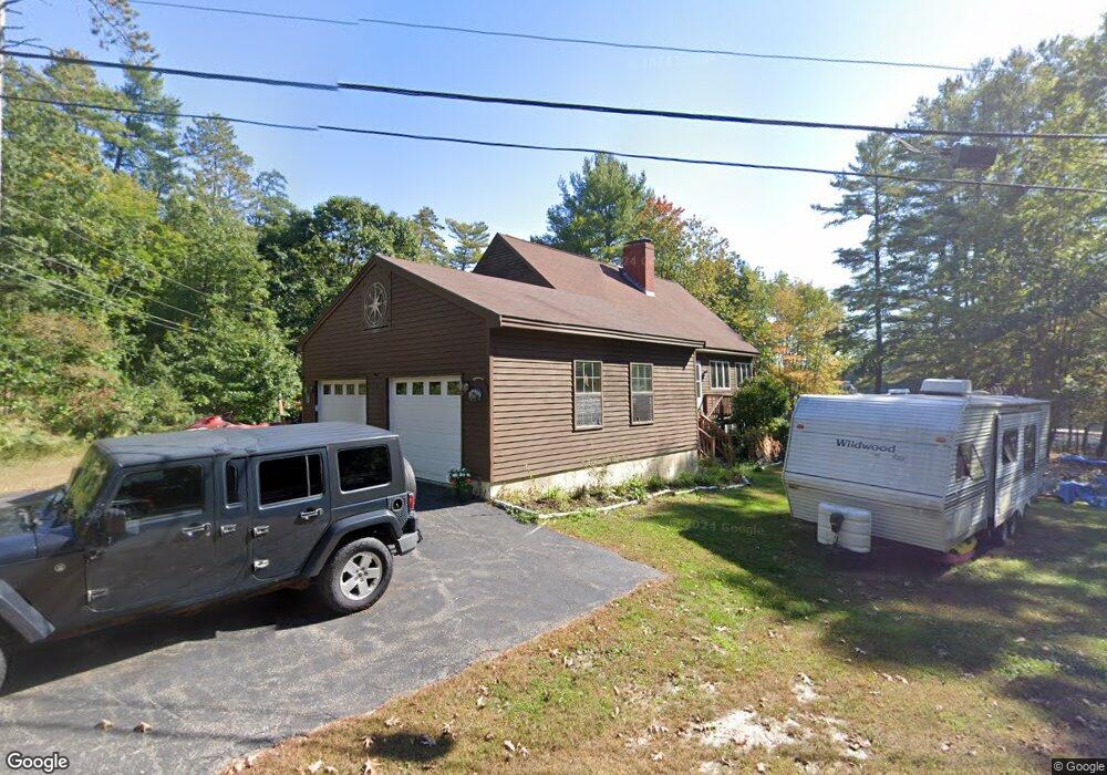
This home is located at 337 Westwood Rd, Gray, ME 04039 and is currently estimated at $850,772, approximately $315 per square foot. 337 Westwood Rd is a home located in Cumberland County with nearby schools including Gray-New Gloucester High School.
Ownership History
Date
Name
Owned For
Owner Type
Purchase Details
Closed on
Nov 26, 2010
Sold by
Small Richard L and Small Laura H
Bought by
Small Eric A
Current Estimated Value
Home Financials for this Owner
Home Financials are based on the most recent Mortgage that was taken out on this home.
Original Mortgage
$352,000
Outstanding Balance
$230,185
Interest Rate
4.25%
Mortgage Type
Purchase Money Mortgage
Estimated Equity
$620,587
Create a Home Valuation Report for This Property
The Home Valuation Report is an in-depth analysis detailing your home's value as well as a comparison with similar homes in the area
Home Values in the Area
Average Home Value in this Area
Purchase History
| Date | Buyer | Sale Price | Title Company |
|---|---|---|---|
| Small Eric A | -- | -- |
Source: Public Records
Mortgage History
| Date | Status | Borrower | Loan Amount |
|---|---|---|---|
| Open | Small Eric A | $352,000 |
Source: Public Records
Tax History
| Year | Tax Paid | Tax Assessment Tax Assessment Total Assessment is a certain percentage of the fair market value that is determined by local assessors to be the total taxable value of land and additions on the property. | Land | Improvement |
|---|---|---|---|---|
| 2025 | $7,135 | $737,100 | $310,100 | $427,000 |
| 2024 | $7,150 | $737,100 | $310,100 | $427,000 |
| 2023 | $6,414 | $422,500 | $143,100 | $279,400 |
| 2022 | $5,894 | $422,500 | $143,100 | $279,400 |
| 2021 | $5,734 | $392,500 | $143,100 | $249,400 |
| 2020 | $5,789 | $392,500 | $143,100 | $249,400 |
| 2019 | $5,789 | $392,500 | $143,100 | $249,400 |
| 2018 | $5,495 | $392,500 | $143,100 | $249,400 |
| 2017 | $5,435 | $301,100 | $144,000 | $157,100 |
| 2016 | $5,510 | $301,100 | $144,000 | $157,100 |
| 2015 | $5,480 | $301,100 | $144,000 | $157,100 |
| 2014 | $5,480 | $301,100 | $144,000 | $157,100 |
| 2012 | $4,732 | $298,541 | $144,000 | $154,541 |
Source: Public Records
Map
Nearby Homes
- 150 Birchwood Rd
- M011-006 Westwood Rd
- 2 Gore Rd
- 179 Egypt Rd
- 4 Chelsey Ln
- 17 Northern Oaks Dr
- 15 Presidential View
- 224 Shaker Rd
- 38 Freds Way
- M20/21/311 Shaw Brook Ln
- 0 Gore Unit 1655428
- 37 Main St
- Lot 21-29 Weymouth Rd
- 65 Blueberry Ln
- 1254 Roosevelt Trail Unit A,B,C
- 16 Peterson Rd
- 39 Pipeline Rd
- 93 Woodland Rd
- 0 Ginger Way Unit 1656391
- 0 Ginger Way Unit 1656392
- 5 Shady
- 10 Turtle Cove Dr
- 333 Westwood Rd
- 347 Westwood Rd
- 12 Turtle Cove Dr
- 338 Westwood Rd
- 346 Westwood Rd
- 1 Pickerel Pond Ave
- 7 Pickerel Pond Ave
- 18 Turtle Cove Dr
- 11 Pickerel Pond Ave
- 5 Shady Ridge Dr
- 21 Shady Ridge Dr
- 356 Westwood Rd
- 24 Shady Ridge Dr
- 23 Shady Ridge Dr
- 361 Westwood Rd
- 310 Westwood Rd
- 39 Shady Ridge Dr
- 46 Farwell Brook Rd
Your Personal Tour Guide
Ask me questions while you tour the home.