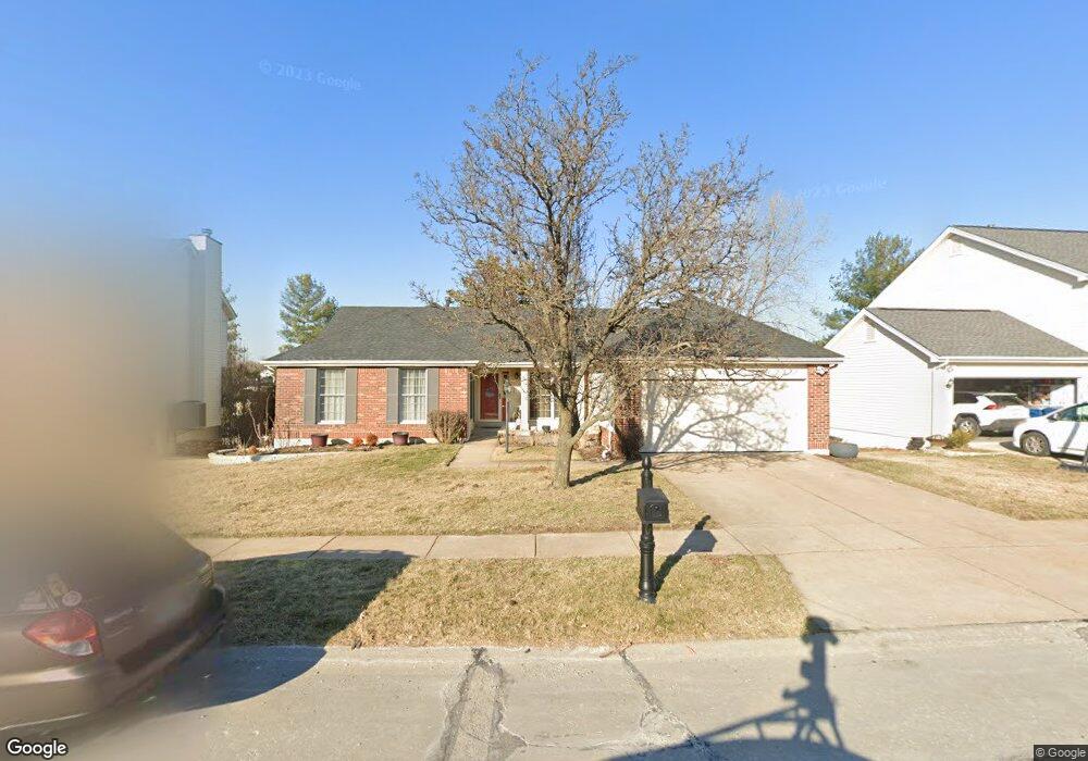
339 Alverston Ct Ballwin, MO 63021
Estimated Value: $444,973 - $513,000
4
Beds
3
Baths
1,956
Sq Ft
$252/Sq Ft
Est. Value
About This Home
This home is located at 339 Alverston Ct, Ballwin, MO 63021 and is currently estimated at $492,493, approximately $251 per square foot. 339 Alverston Ct is a home located in St. Louis County with nearby schools including Woerther Elementary School, Selvidge Middle School, and Marquette Sr. High School.
Ownership History
Date
Name
Owned For
Owner Type
Purchase Details
Closed on
Jun 24, 2005
Sold by
Ryckman Betty J
Bought by
Montgomery Kevin R and Montgomery Cheryl J
Current Estimated Value
Home Financials for this Owner
Home Financials are based on the most recent Mortgage that was taken out on this home.
Original Mortgage
$27,500
Outstanding Balance
$14,273
Interest Rate
5.67%
Mortgage Type
Credit Line Revolving
Estimated Equity
$478,220
Create a Home Valuation Report for This Property
The Home Valuation Report is an in-depth analysis detailing your home's value as well as a comparison with similar homes in the area
Home Values in the Area
Average Home Value in this Area
Purchase History
| Date | Buyer | Sale Price | Title Company |
|---|---|---|---|
| Montgomery Kevin R | $275,000 | Abstar Title Company |
Source: Public Records
Mortgage History
| Date | Status | Borrower | Loan Amount |
|---|---|---|---|
| Open | Montgomery Kevin R | $27,500 | |
| Open | Montgomery Kevin R | $220,000 |
Source: Public Records
Tax History
| Year | Tax Paid | Tax Assessment Tax Assessment Total Assessment is a certain percentage of the fair market value that is determined by local assessors to be the total taxable value of land and additions on the property. | Land | Improvement |
|---|---|---|---|---|
| 2025 | $5,092 | $81,590 | $32,280 | $49,310 |
| 2024 | $5,092 | $72,830 | $17,920 | $54,910 |
| 2023 | $5,088 | $72,830 | $17,920 | $54,910 |
| 2022 | $4,655 | $61,850 | $21,530 | $40,320 |
| 2021 | $4,621 | $61,850 | $21,530 | $40,320 |
| 2020 | $4,480 | $57,170 | $21,530 | $35,640 |
| 2019 | $4,498 | $57,170 | $21,530 | $35,640 |
| 2018 | $4,263 | $51,070 | $16,130 | $34,940 |
| 2016 | $4,181 | $49,340 | $16,130 | $33,210 |
Source: Public Records
Map
Nearby Homes
- 325 Fox Village Ct
- 857 Village Meadow Dr
- 279 Aspen Village Dr
- 1319 Oak Borough Dr
- 847 Palm Bay Dr
- 589 Wetherby Terrace Dr
- 713 Village Wood Ct
- 725 Whispering Forest Dr
- 318 Statewood Dr
- 677 Rustic Valley Dr
- 643 Nanceen Ct
- 15963 Fox Trotter Ct
- 760 Woodside Trails Dr Unit 203
- 217 Carmel Woods Dr Unit 217
- 634 Parker Dr
- 604 Pine Ridge Trails Ct Unit 202
- 439 Chukker Valley
- 847 Arbor Chase Dr
- 15927 Forest Valley Dr
- 839 Lilybud Ct Unit 5A
- 335 Alverston Ct
- 343 Alverston Ct
- 331 Alverston Ct
- 347 Alverston Ct
- 340 Alverston Ct
- 336 Alverston Ct
- 303 Marsten Ct
- 327 Alverston Ct
- 332 Alverston Ct
- 344 Alverston Ct
- 351 Alverston Ct
- 300 Marsten Ct
- 328 Alverston Ct
- 307 Marsten Ct
- 1105 Westrun Dr
- 323 Alverston Ct
- 324 Alverston Ct
- 1113 Westrun Dr
- 311 Marsten Ct
- 304 Marsten Ct
Your Personal Tour Guide
Ask me questions while you tour the home.