33968 Mustang Dr Brighton, IL 62012
Estimated Value: $142,000 - $244,000
3
Beds
1
Bath
960
Sq Ft
$186/Sq Ft
Est. Value
About This Home
This home is located at 33968 Mustang Dr, Brighton, IL 62012 and is currently estimated at $178,811, approximately $186 per square foot. 33968 Mustang Dr is a home located in Jersey County with nearby schools including Southwestern High School.
Ownership History
Date
Name
Owned For
Owner Type
Purchase Details
Closed on
Sep 12, 2013
Sold by
Bank Of America Na
Bought by
Brown Rebekah
Current Estimated Value
Home Financials for this Owner
Home Financials are based on the most recent Mortgage that was taken out on this home.
Original Mortgage
$51,410
Outstanding Balance
$38,515
Interest Rate
4.5%
Estimated Equity
$140,296
Purchase Details
Closed on
May 2, 2013
Sold by
Sheriff Of Jersey County
Bought by
Bank Of America Inc
Purchase Details
Closed on
Jan 21, 2013
Sold by
Sheriff Of Jersey County
Bought by
Bank Of America Na
Create a Home Valuation Report for This Property
The Home Valuation Report is an in-depth analysis detailing your home's value as well as a comparison with similar homes in the area
Home Values in the Area
Average Home Value in this Area
Purchase History
| Date | Buyer | Sale Price | Title Company |
|---|---|---|---|
| Brown Rebekah | -- | -- | |
| Brown Rebekah | $53,000 | -- | |
| Bank Of America Inc | -- | -- | |
| Bank Of America Na | -- | -- |
Source: Public Records
Mortgage History
| Date | Status | Borrower | Loan Amount |
|---|---|---|---|
| Open | Brown Rebekah | $51,410 |
Source: Public Records
Tax History
| Year | Tax Paid | Tax Assessment Tax Assessment Total Assessment is a certain percentage of the fair market value that is determined by local assessors to be the total taxable value of land and additions on the property. | Land | Improvement |
|---|---|---|---|---|
| 2024 | $2,499 | $47,510 | $5,605 | $41,905 |
| 2023 | $2,436 | $43,190 | $5,095 | $38,095 |
| 2022 | $2,370 | $41,930 | $4,945 | $36,985 |
| 2021 | $1,936 | $33,985 | $4,645 | $29,340 |
| 2020 | $1,789 | $33,155 | $4,530 | $28,625 |
| 2019 | $1,789 | $31,430 | $4,295 | $27,135 |
| 2018 | $1,766 | $30,075 | $4,110 | $25,965 |
| 2017 | $1,639 | $28,105 | $3,840 | $24,265 |
| 2016 | $1,639 | $28,105 | $3,840 | $24,265 |
| 2015 | -- | $28,105 | $3,840 | $24,265 |
| 2014 | -- | $28,145 | $3,845 | $24,300 |
Source: Public Records
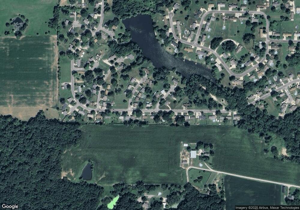
Map
Nearby Homes
- 17604 Monaco Dr
- 0 W County Line Rd Unit Tract 4
- 0 W County Line Rd Unit Tract 2
- 207 South St
- 207 W Vine St
- 0 E Brown Rd Unit MIS26019504
- 113 George St
- Tbd County Line Rd
- Tbd County Line Rd
- 16677 Oak Bridge Rd
- 17466 Lageman Ln
- Tbd County Line Rd
- 203 Avalon St
- 0 Stone Circle Dr Unit MIS26019112
- 19383 Deer Run Ln
- 3305 Brown Rd
- 124 Evergreen Ct
- 0 Springman Ln Unit MIS26019123
- 31899 Red Oak Dr
- 15964 Lageman Ln
- 17594 Riviera Dr
- 17586 Riviera Dr
- 17598 Riviera Dr
- 17593 Monaco Dr
- 33969 Mustang Dr
- 17604 Riviera Dr
- 33963 Mustang Dr
- 17594 Monaco Dr
- 33959 Mustang Dr
- 17612 Riviera Dr
- 33981 Mustang Dr
- 33953 Mustang Dr
- 17602 Monaco Dr
- 33947 Mustang Dr
- 33991 Mustang Dr
- 17597 Riviera Dr
- 17601 Riviera Dr
- 33939 Mustang Dr
- 17607 Riviera Dr
- 33995 Mustang Dr
Your Personal Tour Guide
Ask me questions while you tour the home.