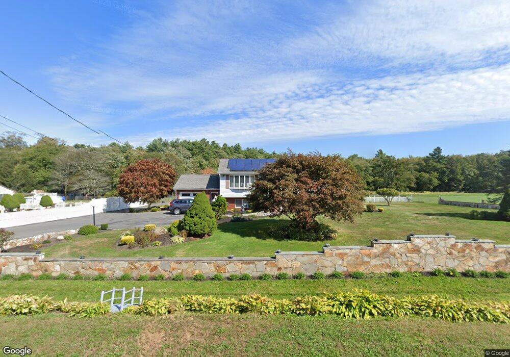
34 Cushing Ln Acushnet, MA 02743
Estimated Value: $645,542 - $713,000
3
Beds
2
Baths
2,570
Sq Ft
$266/Sq Ft
Est. Value
About This Home
This home is located at 34 Cushing Ln, Acushnet, MA 02743 and is currently estimated at $682,386, approximately $265 per square foot. 34 Cushing Ln is a home located in Bristol County with nearby schools including Acushnet Elementary School and Albert F Ford Middle School.
Ownership History
Date
Name
Owned For
Owner Type
Purchase Details
Closed on
Feb 23, 2019
Sold by
Sa Fatima and Sa David M
Bought by
Sa David M and Sa Fatima
Current Estimated Value
Purchase Details
Closed on
Oct 6, 2006
Sold by
Texeira Jose and Texeira Lucie
Bought by
Sa David M and Sa Fatima
Home Financials for this Owner
Home Financials are based on the most recent Mortgage that was taken out on this home.
Original Mortgage
$300,000
Interest Rate
6.54%
Mortgage Type
Purchase Money Mortgage
Create a Home Valuation Report for This Property
The Home Valuation Report is an in-depth analysis detailing your home's value as well as a comparison with similar homes in the area
Purchase History
| Date | Buyer | Sale Price | Title Company |
|---|---|---|---|
| Sa David M | -- | -- | |
| Sa David M | $385,000 | -- |
Source: Public Records
Mortgage History
| Date | Status | Borrower | Loan Amount |
|---|---|---|---|
| Previous Owner | Sa David M | $300,000 | |
| Previous Owner | Sa David M | $100,000 |
Source: Public Records
Tax History
| Year | Tax Paid | Tax Assessment Tax Assessment Total Assessment is a certain percentage of the fair market value that is determined by local assessors to be the total taxable value of land and additions on the property. | Land | Improvement |
|---|---|---|---|---|
| 2025 | $53 | $492,700 | $176,700 | $316,000 |
| 2024 | $5,340 | $468,000 | $167,400 | $300,600 |
| 2023 | $5,208 | $434,000 | $151,900 | $282,100 |
| 2022 | $4,828 | $363,800 | $142,900 | $220,900 |
| 2021 | $4,883 | $353,100 | $142,900 | $210,200 |
| 2020 | $4,797 | $344,100 | $133,900 | $210,200 |
| 2019 | $4,789 | $337,700 | $127,900 | $209,800 |
| 2018 | $4,672 | $324,000 | $127,900 | $196,100 |
| 2017 | $4,546 | $314,800 | $127,900 | $186,900 |
| 2016 | $4,413 | $303,700 | $127,900 | $175,800 |
| 2015 | $4,107 | $287,600 | $127,900 | $159,700 |
Source: Public Records
Map
Nearby Homes
- 0 Rounseville Rd
- 0 Land Way Unit 73479153
- 0 Keene Rd Unit 73459818
- 168 Keene Rd
- 489 Main St
- 79 Park Dr
- 363 Main St
- 329 Middle Rd
- 973 Pembroke St
- SS Charbonneau Ln
- 4 Sarahbeth Ln Unit 1
- 247 Braley Hill Rd
- 2 Hayley Cir
- 4 Hayley Cir
- 946 Thorndike St
- Lot 3 Beverly St
- 191 Hathaway Rd
- 1015 Forbes St
- 23 Oliveira Ave
- 34 Poplar Rd
- 30 Cushing Ln
- 38 Cushing Ln
- 33 Cushing Ln
- 28 Cushing Ln
- 40 Cushing Ln
- 17 Cushing Ln
- 17 Cushing Ln Unit 1Front
- 21 Cushing Ln
- 234 Robinson Rd
- 15 Cushing Ln
- 2 Robinson Rd
- 2 Robinson Rd
- 2 Robinson Rd Unit 73030939
- 2 Robinson Rd
- 2 Robinson Rd
- 9 Cushing Ln
- 232 Robinson Rd
- 8 Robinson Rd
- 216 Robinson Rd
- 226 Robinson Rd
Your Personal Tour Guide
Ask me questions while you tour the home.