34 Hatch Rd Pembroke, MA 02359
Estimated Value: $502,000 - $546,000
3
Beds
1
Bath
1,104
Sq Ft
$474/Sq Ft
Est. Value
About This Home
This home is located at 34 Hatch Rd, Pembroke, MA 02359 and is currently estimated at $523,239, approximately $473 per square foot. 34 Hatch Rd is a home located in Plymouth County with nearby schools including Pembroke High School.
Ownership History
Date
Name
Owned For
Owner Type
Purchase Details
Closed on
Feb 16, 1994
Sold by
Powers Stephen G
Bought by
Gilbert Meredith
Current Estimated Value
Purchase Details
Closed on
May 24, 1993
Sold by
Schermerhorn Gertrude
Bought by
Powers Stephen G
Create a Home Valuation Report for This Property
The Home Valuation Report is an in-depth analysis detailing your home's value as well as a comparison with similar homes in the area
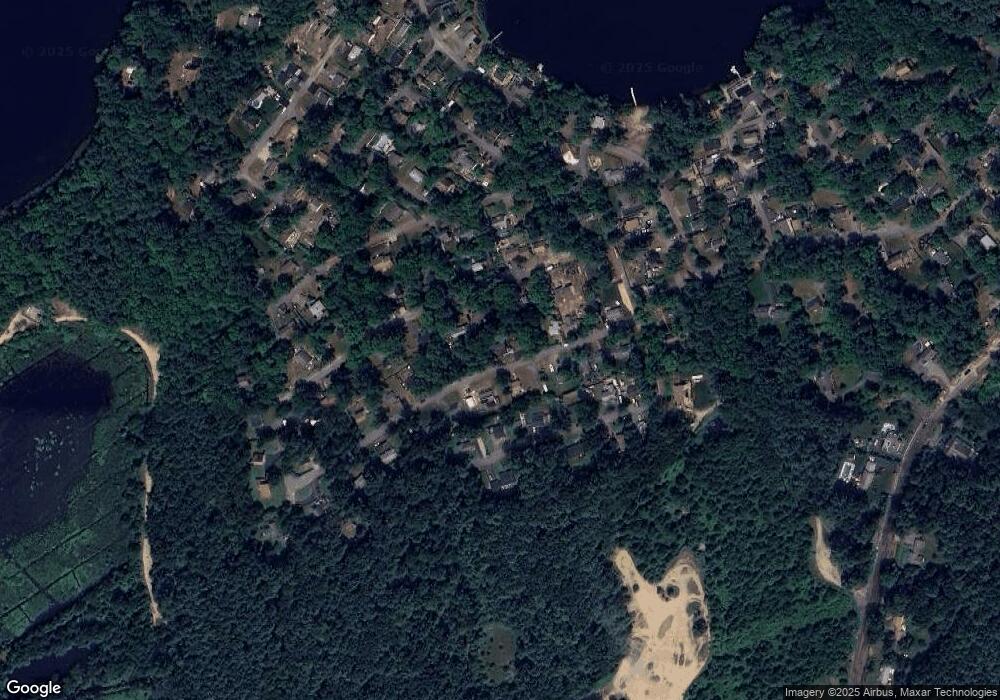
Purchase History
We collect this data history from publicly available records. To have your information removed, we recommend requesting removal directly through your county’s website.
| Date | Buyer | Sale Price | Title Company |
|---|---|---|---|
| Gilbert Meredith | $120,000 | -- | |
| Powers Stephen G | $25,000 | -- |
Source: Public Records
Mortgage History
We collect this data history from publicly available records. To have your information removed, we recommend requesting removal directly through your county’s website.
| Date | Status | Borrower | Loan Amount |
|---|---|---|---|
| Open | Powers Stephen G | $65,000 | |
| Closed | Powers Stephen G | $80,000 | |
| Closed | Powers Stephen G | $20,000 |
Source: Public Records
Tax History
| Year | Tax Paid | Tax Assessment Tax Assessment Total Assessment is a certain percentage of the fair market value that is determined by local assessors to be the total taxable value of land and additions on the property. | Land | Improvement |
|---|---|---|---|---|
| 2025 | $5,908 | $491,500 | $253,800 | $237,700 |
| 2024 | $5,635 | $468,400 | $232,200 | $236,200 |
| 2023 | $5,751 | $452,100 | $232,200 | $219,900 |
| 2022 | $5,383 | $380,400 | $190,000 | $190,400 |
| 2021 | $5,150 | $353,200 | $181,200 | $172,000 |
| 2020 | $5,009 | $345,700 | $173,100 | $172,600 |
| 2019 | $4,396 | $301,100 | $168,800 | $132,300 |
| 2018 | $4,119 | $276,600 | $150,500 | $126,100 |
| 2017 | $4,065 | $269,200 | $142,400 | $126,800 |
| 2016 | $3,994 | $261,700 | $134,200 | $127,500 |
| 2015 | $3,688 | $250,200 | $121,900 | $128,300 |
Source: Public Records
Map
Nearby Homes
- 17 E Boundary Rd
- 10 Beach Rd
- 5 Pine Cir
- 47 Woodbine Ave
- 9 Mill St
- 281 Mattakeesett St
- 29 Andrew Dr
- 42 Taylor Point Rd
- 52 Plain St
- 72 Old Cart Path Ln Unit Lot 2
- 78 Old Cart Path Ln Unit Lot 3
- 77 Old Cart Path Ln Unit Lot 4
- 14 Baltzer Dr
- 17 Baltzer Dr
- 26 Pierce Dr
- 733 Monponsett St
- 267 Oak St
- 402-402A Holmes St
- 12 Santos Ct
- 90 W Elm St
Your Personal Tour Guide
Ask me questions while you tour the home.