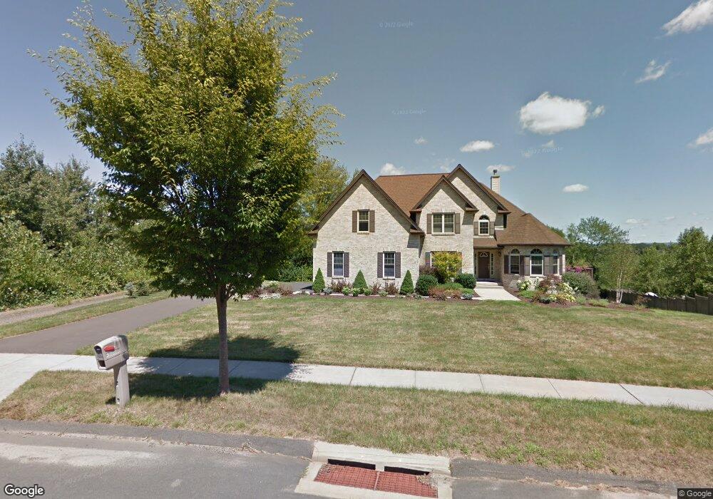
34 Pheasant Dr Middletown, CT 06457
Middletown AreaEstimated Value: $592,000 - $814,000
About This Home
This home is located at 34 Pheasant Dr, Middletown, CT 06457 and is currently estimated at $700,520, approximately $240 per square foot. 34 Pheasant Dr is a home with nearby schools including Wesley School, Middletown High School, and St John Paul II School.
Ownership History
We collect this data history from publicly available records. To have your information removed, we recommend requesting removal directly through your county’s website.
Purchase Details
Home Values in the Area
Average Home Value in this Area
Purchase History
We collect this data history from publicly available records. To have your information removed, we recommend requesting removal directly through your county’s website.
| Date | Buyer | Sale Price | Title Company |
|---|---|---|---|
| $499,000 | -- |
Mortgage History
We collect this data history from publicly available records. To have your information removed, we recommend requesting removal directly through your county’s website.
| Date | Status | Borrower | Loan Amount |
|---|---|---|---|
| Open | $252,500 | ||
| Closed | $350,000 | ||
| Closed | $401,300 |
Tax History
We collect this data history from publicly available records. To have your information removed, we recommend requesting removal directly through your county’s website.
| Year | Tax Paid | Tax Assessment Tax Assessment Total Assessment is a certain percentage of the fair market value that is determined by local assessors to be the total taxable value of land and additions on the property. | Land | Improvement |
|---|---|---|---|---|
| 2025 | $14,011 | $378,560 | $89,220 | $289,340 |
| 2024 | $12,788 | $361,130 | $89,220 | $271,910 |
| 2023 | $12,138 | $361,130 | $89,220 | $271,910 |
| 2022 | $11,374 | $275,710 | $66,090 | $209,620 |
| 2021 | $6,088 | $254,310 | $66,090 | $188,220 |
| 2020 | $5,978 | $254,310 | $66,090 | $188,220 |
| 2019 | $5,879 | $254,310 | $66,090 | $188,220 |
| 2018 | $10,117 | $254,310 | $66,090 | $188,220 |
| 2017 | $9,788 | $253,050 | $81,660 | $171,390 |
| 2016 | $9,592 | $253,050 | $81,660 | $171,390 |
| 2015 | $9,380 | $253,050 | $81,660 | $171,390 |
| 2014 | $9,371 | $253,050 | $81,660 | $171,390 |
Map
- 37 Cranberry Ln
- 236 Maple Shade Rd
- 1175 S Main St
- 117 David Dr
- 58 Brown St
- 779 Ridge Rd
- 87 Lewis St
- 364 Coleman Rd
- 347 Farm Hill Rd
- 824 Randolph Rd
- 714 Long Hill Rd
- 492 Long Hill Rd
- 315 E Ridge Rd
- 65 Prout Hill Rd
- 835-E Long Hill Rd
- 29 Copper Beech Dr
- 200 E Ridge Rd
- 40 Hillcrest Ave
- 91 Berkeley Rd
- 125 Stevens Ln
- 32 Pheasant Dr
- 38 Pheasant Dr
- 20 Pheasant Dr
- lot 20 Pheasant Dr
- 24 Pheasant Dr
- 48 Pheasant Dr
- 14 Pheasant Dr
- 66 Cranberry Ln
- 80 Cranberry Ln
- 56 Cranberry Ln
- 43 Pheasant Dr
- 58 Pheasant Dr
- 122 Cranberry Ln
- 46 Cranberry Ln
- 132 Cranberry Ln
- 36 Cranberry Ln
- 19 Pheasant Dr
- Lot 19 Pheasant Dr
- 3 Pheasant Dr
- 67 Pheasant Dr
Ask me questions while you tour the home.