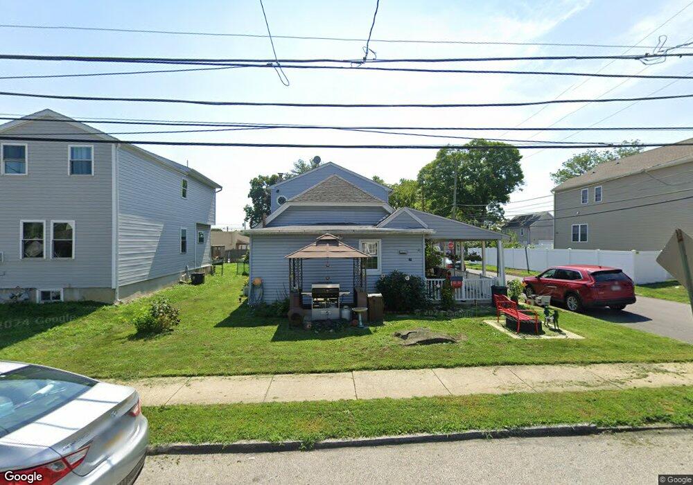
34 Walnut St Morton, PA 19070
Estimated Value: $334,398 - $392,000
3
Beds
2
Baths
1,744
Sq Ft
$206/Sq Ft
Est. Value
About This Home
This home is located at 34 Walnut St, Morton, PA 19070 and is currently estimated at $359,350, approximately $206 per square foot. 34 Walnut St is a home located in Delaware County with nearby schools including Springfield High School and Our Lady Of Fatima School.
Ownership History
Date
Name
Owned For
Owner Type
Purchase Details
Closed on
Apr 28, 1994
Sold by
Bard Timothy B and Bard Jane R
Bought by
Milton Christian M
Current Estimated Value
Home Financials for this Owner
Home Financials are based on the most recent Mortgage that was taken out on this home.
Original Mortgage
$318,500
Interest Rate
4.85%
Purchase Details
Closed on
Feb 19, 1985
Sold by
Phillips John and Phillips Bernice
Bought by
Phillips John and Phillips Donna
Create a Home Valuation Report for This Property
The Home Valuation Report is an in-depth analysis detailing your home's value as well as a comparison with similar homes in the area
Home Values in the Area
Average Home Value in this Area
Purchase History
| Date | Buyer | Sale Price | Title Company |
|---|---|---|---|
| Milton Christian M | $455,000 | Fidelity National Title Ins | |
| Phillips John | -- | -- |
Source: Public Records
Mortgage History
| Date | Status | Borrower | Loan Amount |
|---|---|---|---|
| Closed | Milton Christian M | $318,500 |
Source: Public Records
Tax History
| Year | Tax Paid | Tax Assessment Tax Assessment Total Assessment is a certain percentage of the fair market value that is determined by local assessors to be the total taxable value of land and additions on the property. | Land | Improvement |
|---|---|---|---|---|
| 2025 | $4,959 | $159,010 | $33,790 | $125,220 |
| 2024 | $4,959 | $159,010 | $33,790 | $125,220 |
| 2023 | $3,726 | $159,010 | $33,790 | $125,220 |
| 2022 | $4,746 | $159,010 | $33,790 | $125,220 |
| 2021 | $7,045 | $159,010 | $33,790 | $125,220 |
| 2020 | $4,965 | $97,570 | $30,240 | $67,330 |
| 2019 | $4,869 | $97,570 | $30,240 | $67,330 |
| 2018 | $4,808 | $97,570 | $0 | $0 |
| 2017 | $4,718 | $97,570 | $0 | $0 |
| 2016 | $535 | $97,570 | $0 | $0 |
| 2015 | $546 | $97,570 | $0 | $0 |
| 2014 | $546 | $97,570 | $0 | $0 |
Source: Public Records
Map
Nearby Homes
- 7 & 0 Woodland Ave
- 2 Yale Ave
- 507 School St
- 1015 Mitchell Ave
- 21 Faraday Ct
- 933 Greenbriar Ln
- 1907 Pershing Ave
- 114 Providence Rd
- 1323 Morton Ave
- 658 E Leamy Ave
- 120 Rutledge Ave
- 846 Bobwhite Ln
- 216-218 President Ave
- 201 W Sylvan Ave
- 880 Quaint St
- 2379 Mole Rd
- 743 Hickory Rd
- 1022 Crozer Ln
- 838 Springhill Rd
- 715 Swarthmore Ave
Your Personal Tour Guide
Ask me questions while you tour the home.