340 E Grant St Unit 4 Leland, IL 60531
Estimated Value: $261,540
2
Beds
1
Bath
1,000
Sq Ft
$262/Sq Ft
Est. Value
About This Home
This home is located at 340 E Grant St Unit 4, Leland, IL 60531 and is currently estimated at $261,540, approximately $261 per square foot. 340 E Grant St Unit 4 is a home located in LaSalle County with nearby schools including Leland Elementary School and Leland High School.
Ownership History
Date
Name
Owned For
Owner Type
Purchase Details
Closed on
Nov 1, 2021
Sold by
Abens Joshua and Wiley Lauren
Bought by
Stark Rentals Llc
Current Estimated Value
Home Financials for this Owner
Home Financials are based on the most recent Mortgage that was taken out on this home.
Original Mortgage
$160,000
Outstanding Balance
$146,612
Interest Rate
2.99%
Mortgage Type
Commercial
Estimated Equity
$114,928
Purchase Details
Closed on
Jan 29, 2016
Sold by
Kuhn Robert W and Kuhn Jane
Bought by
Mpl Profits Llc
Home Financials for this Owner
Home Financials are based on the most recent Mortgage that was taken out on this home.
Original Mortgage
$140,000
Interest Rate
3.97%
Mortgage Type
Commercial
Create a Home Valuation Report for This Property
The Home Valuation Report is an in-depth analysis detailing your home's value as well as a comparison with similar homes in the area
Purchase History
| Date | Buyer | Sale Price | Title Company |
|---|---|---|---|
| Stark Rentals Llc | $200,000 | Chicago Title | |
| Mpl Profits Llc | $140,000 | -- |
Source: Public Records
Mortgage History
| Date | Status | Borrower | Loan Amount |
|---|---|---|---|
| Open | Stark Rentals Llc | $160,000 | |
| Previous Owner | Mpl Profits Llc | $140,000 |
Source: Public Records
Tax History
| Year | Tax Paid | Tax Assessment Tax Assessment Total Assessment is a certain percentage of the fair market value that is determined by local assessors to be the total taxable value of land and additions on the property. | Land | Improvement |
|---|---|---|---|---|
| 2024 | $4,667 | $52,239 | $7,368 | $44,871 |
| 2023 | $4,791 | $52,239 | $7,368 | $44,871 |
| 2022 | $4,569 | $49,282 | $6,951 | $42,331 |
| 2021 | $4,598 | $49,282 | $6,951 | $42,331 |
| 2020 | $4,632 | $49,282 | $6,951 | $42,331 |
| 2019 | $4,712 | $49,282 | $6,951 | $42,331 |
| 2018 | $4,733 | $49,282 | $6,951 | $42,331 |
| 2017 | $4,817 | $49,282 | $6,951 | $42,331 |
| 2016 | $4,790 | $49,282 | $6,951 | $42,331 |
| 2015 | $4,800 | $49,282 | $6,951 | $42,331 |
| 2012 | -- | $49,282 | $6,951 | $42,331 |
Source: Public Records
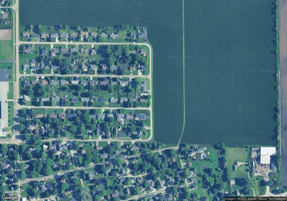
Map
Nearby Homes
- 0 Svendsen Rd
- 983 Council Rd
- 2547 N 4645th Rd Unit B
- 152 Holiday Dr
- 269 Easy St
- 450 W Market St
- 116 Tammy Ln
- 225 Morrow St Unit D
- 215 Morrow St Unit C
- 249 Easy St
- 1386 N 4535th Rd
- 1372 N 4535th Rd
- 1381 N 4535th Rd
- 1293 Lake Holiday Dr
- 3 Holiday Dr
- 105 N Depot St
- 1 Holiday Dr
- 205 S Gage St
- 537 Erma Dr
- 415 N Sycamore St
- 340 E Grant St
- 302 E Grant St
- 304 E Grant St
- 325 E Kross St
- 365 E Grant St
- 315 E Kross St
- 300 E Grant St
- 345 E Grant St
- 305 E Kross St
- 325 E Grant St
- 289 E Grant St
- 312 E Genessee St
- 320 E Genessee St
- 310 E Genessee St
- 310 E Kross St
- 320 E Kross St
- 185 E Kross St
- 265 E Grant St
- 300 E Kross St
- 260 E Genessee St
Your Personal Tour Guide
Ask me questions while you tour the home.