340 Tyler Rd Ostrander, OH 43061
Scioto NeighborhoodEstimated Value: $547,000 - $1,729,000
4
Beds
1
Bath
2,236
Sq Ft
$555/Sq Ft
Est. Value
About This Home
This home is located at 340 Tyler Rd, Ostrander, OH 43061 and is currently estimated at $1,241,825, approximately $555 per square foot. 340 Tyler Rd is a home located in Delaware County with nearby schools including North Union Elementary School, North Union Middle School, and North Union High School.
Ownership History
Date
Name
Owned For
Owner Type
Purchase Details
Closed on
Dec 7, 2016
Bought by
Rinehart Farms Llc
Current Estimated Value
Home Financials for this Owner
Home Financials are based on the most recent Mortgage that was taken out on this home.
Interest Rate
4.08%
Purchase Details
Closed on
Mar 9, 2011
Sold by
Rinehart Evert E and Rinehart Ina M
Bought by
Rinehart Farms Llc
Create a Home Valuation Report for This Property
The Home Valuation Report is an in-depth analysis detailing your home's value as well as a comparison with similar homes in the area
Home Values in the Area
Average Home Value in this Area
Purchase History
| Date | Buyer | Sale Price | Title Company |
|---|---|---|---|
| Rinehart Farms Llc | $832,700 | -- | |
| Rinehart Farms Llc | -- | Attorney |
Source: Public Records
Mortgage History
| Date | Status | Borrower | Loan Amount |
|---|---|---|---|
| Previous Owner | Rinehart Farms Llc | -- |
Source: Public Records
Tax History
| Year | Tax Paid | Tax Assessment Tax Assessment Total Assessment is a certain percentage of the fair market value that is determined by local assessors to be the total taxable value of land and additions on the property. | Land | Improvement |
|---|---|---|---|---|
| 2024 | $7,903 | $785,960 | $714,000 | $71,960 |
| 2023 | $8,007 | $785,960 | $714,000 | $71,960 |
| 2022 | $4,419 | $466,550 | $430,080 | $36,470 |
| 2021 | $4,435 | $466,550 | $430,080 | $36,470 |
| 2020 | $4,429 | $466,550 | $430,080 | $36,470 |
| 2019 | $6,585 | $393,120 | $358,400 | $34,720 |
| 2018 | $6,642 | $393,120 | $358,400 | $34,720 |
| 2017 | $7,621 | $291,450 | $257,740 | $33,710 |
| 2016 | $8,799 | $291,450 | $257,740 | $33,710 |
| 2015 | $8,727 | $291,870 | $258,160 | $33,710 |
| 2014 | $8,950 | $291,870 | $258,160 | $33,710 |
| 2013 | $4,719 | $264,220 | $230,510 | $33,710 |
Source: Public Records
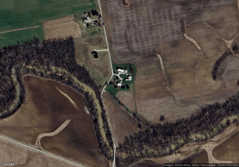
Map
Nearby Homes
- 715 Tyler Rd
- 0 Mink Street Rd Unit 226007139
- 0 Marsh Rd Unit 226008897
- 6011 Houseman Rd
- 0 Carr Rd Unit 225016840
- 23200 Ohio 37
- 0 Burnt Pond Rd Unit Tract 2
- 0 Burnt Pond Rd Unit Tract 4
- 0 Burnt Pond Rd Unit Tract 5
- 1817 Lawrence Rd
- 11216 Ohio 347
- 20478 Delaware County Line Rd
- 0 Delaware County Line Rd
- 534 Brayshaw Dr
- 3480 Ostrander Rd
- 3734 Warrensburg Rd
- 4005 Ohio 203
- 3680 Warrensburg Rd
- 13096 State Route 347
- 13111 State Route 347
- 0 Tyler Rd Unit LOT 1 223011912
- 0 Tyler Rd Unit Lot 11 223000922
- 0 Tyler Rd
- 441 Tyler Rd
- 493 Tyler Rd
- Tract 6 Tyler Rd
- Tract 5 Tyler Rd
- 1083 Tyler Rd
- 8095 State Route 37 W
- 1090 Tyler Rd
- 7045 State Route 37 W
- 6988 State Route 37 W
- 973 Tyler Rd
- N.OF 7887 Mink Street Rd
- 7887 Mink Street Rd
- 196 Brindle Rd
- 7501 Mink Street Rd
- 7181 Mink Street Rd
- 7243 Mink Street Rd
- 1207 Tyler Rd
Your Personal Tour Guide
Ask me questions while you tour the home.