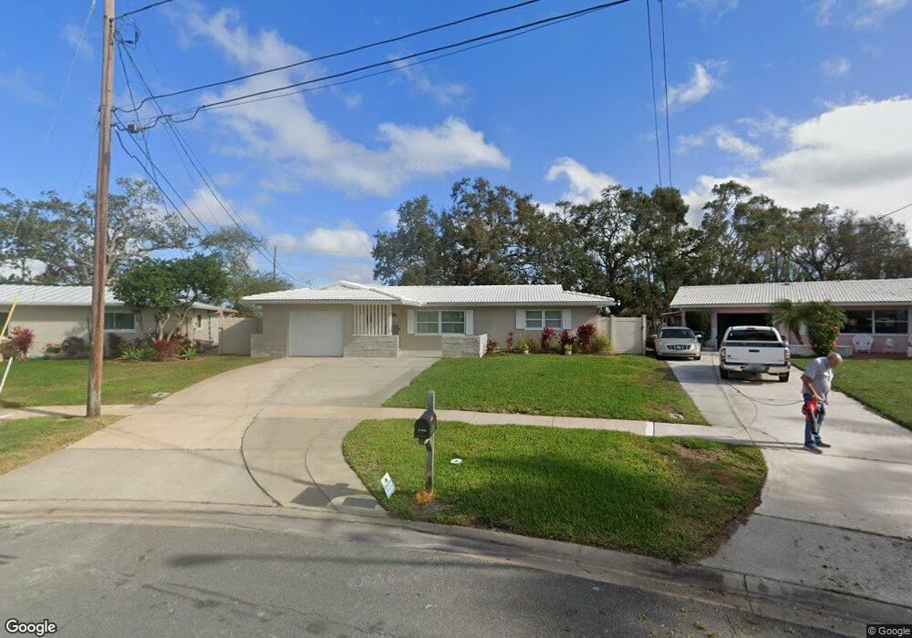
3401 Shore Dr Unit 8 Largo, FL 33771
North Largo NeighborhoodEstimated Value: $291,000 - $337,927
2
Beds
2
Baths
1,019
Sq Ft
$312/Sq Ft
Est. Value
About This Home
This home is located at 3401 Shore Dr Unit 8, Largo, FL 33771 and is currently estimated at $318,232, approximately $312 per square foot. 3401 Shore Dr Unit 8 is a home located in Pinellas County with nearby schools including Belcher Elementary School, Largo High School, and Largo Middle School.
Ownership History
Date
Name
Owned For
Owner Type
Purchase Details
Closed on
Mar 6, 2026
Sold by
Eckert Linda
Bought by
Lippincott Ronald and Lippincott Dawn
Current Estimated Value
Purchase Details
Closed on
May 15, 2013
Sold by
Zdzierak Carolyn Marie
Bought by
Eckert William E and Eckert Linda H
Purchase Details
Closed on
Apr 15, 2013
Sold by
Kellenberger Dustin
Bought by
Zdzierak Carolyn M
Purchase Details
Closed on
Apr 1, 2011
Sold by
Scheno Patricia and Quaglia Lawrence
Bought by
Kellenberger Dustin and Zdzierak Carolyn
Purchase Details
Closed on
Oct 25, 2010
Sold by
Quaglia Patrick
Bought by
Scheno Patricia and Quaglia Lawrence
Create a Home Valuation Report for This Property
The Home Valuation Report is an in-depth analysis detailing your home's value as well as a comparison with similar homes in the area
Home Values in the Area
Average Home Value in this Area
Purchase History
| Date | Buyer | Sale Price | Title Company |
|---|---|---|---|
| Lippincott Ronald | $300,000 | Fidelity National Title Of Flo | |
| Eckert William E | $112,500 | Title Agency Of Florida Inc | |
| Zdzierak Carolyn M | -- | None Available | |
| Kellenberger Dustin | $90,000 | Capstone Title Llc | |
| Scheno Patricia | -- | None Available |
Source: Public Records
Tax History
| Year | Tax Paid | Tax Assessment Tax Assessment Total Assessment is a certain percentage of the fair market value that is determined by local assessors to be the total taxable value of land and additions on the property. | Land | Improvement |
|---|---|---|---|---|
| 2025 | $4,397 | $265,787 | $135,556 | $130,231 |
| 2024 | $4,129 | $252,591 | $162,687 | $89,904 |
| 2023 | $4,129 | $239,944 | $159,135 | $80,809 |
| 2022 | $3,732 | $210,733 | $149,982 | $60,751 |
| 2021 | $3,449 | $174,213 | $0 | $0 |
| 2020 | $3,235 | $166,464 | $0 | $0 |
| 2019 | $3,013 | $158,369 | $92,325 | $66,044 |
| 2018 | $2,779 | $144,206 | $0 | $0 |
| 2017 | $2,608 | $137,174 | $0 | $0 |
| 2016 | $2,313 | $116,969 | $0 | $0 |
| 2015 | $2,084 | $97,759 | $0 | $0 |
| 2014 | $1,883 | $88,410 | $0 | $0 |
Source: Public Records
Map
Nearby Homes
- 566 E Park Dr
- 853 Seacrest Dr
- 632 Shore Dr
- 2138 Egret Dr
- 2168 Kent Ave
- 2156 Egret Dr
- 1992 Arvis Cir E
- 947 Sousa Dr
- 3075 Rosery Rd NE
- 1904 Granada Ct
- 2207 Willowbrook Dr
- 2217 Buena Vista Dr
- 2161 Wateroak Dr N
- 185 Fulton St NE
- 2918 Huntington Dr
- 1871 Del Robles Terrace
- 2240 Willowbrook Dr
- 2796 Forest Pkwy S
- 1932 Oro Ct
- 1877 Del Robles Dr
Your Personal Tour Guide
Ask me questions while you tour the home.