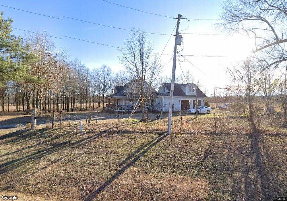
3403 Highway 182 W Okolona, AR 71962
Estimated Value: $166,000 - $353,552
Studio
--
Bath
3,128
Sq Ft
$81/Sq Ft
Est. Value
About This Home
This home is located at 3403 Highway 182 W, Okolona, AR 71962 and is currently estimated at $253,138, approximately $80 per square foot. 3403 Highway 182 W is a home with nearby schools including Gurdon Primary School, Cabe Middle School, and Gurdon High School.
Ownership History
Date
Name
Owned For
Owner Type
Purchase Details
Closed on
Nov 5, 2020
Sold by
Morgan Hill Inc
Bought by
Smith Abbey
Current Estimated Value
Home Financials for this Owner
Home Financials are based on the most recent Mortgage that was taken out on this home.
Original Mortgage
$20,000
Outstanding Balance
$17,749
Interest Rate
2.9%
Mortgage Type
New Conventional
Estimated Equity
$235,389
Purchase Details
Closed on
Jun 2, 1999
Bought by
Mcanally
Purchase Details
Closed on
Oct 1, 1993
Bought by
Rogers
Purchase Details
Closed on
Sep 1, 1992
Bought by
Freeman
Purchase Details
Closed on
Sep 1, 1991
Bought by
Freeman
Purchase Details
Closed on
Oct 1, 1990
Bought by
Clark
Purchase Details
Closed on
Mar 1, 1988
Bought by
Freeman
Purchase Details
Closed on
Feb 1, 1986
Bought by
1St Natl Bank Of Gurdon
Create a Home Valuation Report for This Property
The Home Valuation Report is an in-depth analysis detailing your home's value as well as a comparison with similar homes in the area
Purchase History
| Date | Buyer | Sale Price | Title Company |
|---|---|---|---|
| Smith Abbey | $25,000 | First National Title Co | |
| Mcanally | -- | -- | |
| Smith Joey | $6,000 | -- | |
| Rogers | -- | -- | |
| Freeman | -- | -- | |
| Freeman | -- | -- | |
| Clark | $50,000 | -- | |
| Freeman | -- | -- | |
| 1St Natl Bank Of Gurdon | -- | -- |
Source: Public Records
Mortgage History
| Date | Status | Borrower | Loan Amount |
|---|---|---|---|
| Open | Smith Abbey | $20,000 |
Source: Public Records
Tax History
| Year | Tax Paid | Tax Assessment Tax Assessment Total Assessment is a certain percentage of the fair market value that is determined by local assessors to be the total taxable value of land and additions on the property. | Land | Improvement |
|---|---|---|---|---|
| 2025 | $1,609 | $62,440 | $2,130 | $60,310 |
| 2024 | $1,604 | $42,000 | $1,280 | $40,720 |
| 2023 | $1,679 | $42,000 | $1,280 | $40,720 |
| 2022 | $1,435 | $42,000 | $1,280 | $40,720 |
| 2021 | $1,365 | $42,000 | $1,280 | $40,720 |
| 2020 | $1,286 | $42,000 | $1,280 | $40,720 |
| 2019 | $1,207 | $36,710 | $1,280 | $35,430 |
| 2018 | $1,214 | $36,710 | $1,280 | $35,430 |
| 2017 | $1,214 | $36,710 | $1,280 | $35,430 |
| 2016 | $1,214 | $1,280 | $1,280 | $0 |
| 2015 | $55 | $1,280 | $1,280 | $0 |
| 2014 | $55 | $1,280 | $1,280 | $0 |
Source: Public Records
Map
Nearby Homes
- 0 Southfork Rd
- 1491 Southfork Rd
- 1029 Center Point Rd
- 1414 Ar-53 South Hwy
- 196 Stevenson Rd
- 2660 Bateman Rd
- 602 Stevenson Rd
- 211 Hale Rd
- 429 S Main St
- 7173 U S 67
- 7104 Highway 67 S
- 55 Kilts Rd
- 89 Nantz Trail
- 0000 Davidson Campground Rd
- 705 N 9th St
- 0000 Arkansas 53
- 109 N 7th St
- 908 E Pine St
- 0 S 6th St
- 110 S 10th St
Your Personal Tour Guide
Ask me questions while you tour the home.