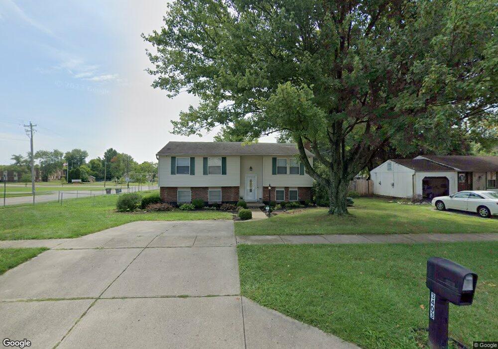
3403 Springdale Rd Cincinnati, OH 45251
Estimated Value: $248,000 - $322,000
4
Beds
3
Baths
2,060
Sq Ft
$136/Sq Ft
Est. Value
About This Home
This home is located at 3403 Springdale Rd, Cincinnati, OH 45251 and is currently estimated at $279,940, approximately $135 per square foot. 3403 Springdale Rd is a home located in Hamilton County with nearby schools including Taylor Elementary School, Pleasant Run Elementary School, and Pleasant Run Middle School.
Ownership History
Date
Name
Owned For
Owner Type
Purchase Details
Closed on
Mar 7, 2003
Sold by
Wethington Albert E and Wethington Gail A
Bought by
Wethington Wendell E and Wethington Amy S
Current Estimated Value
Home Financials for this Owner
Home Financials are based on the most recent Mortgage that was taken out on this home.
Original Mortgage
$84,800
Interest Rate
5.95%
Mortgage Type
Unknown
Create a Home Valuation Report for This Property
The Home Valuation Report is an in-depth analysis detailing your home's value as well as a comparison with similar homes in the area
Home Values in the Area
Average Home Value in this Area
Purchase History
| Date | Buyer | Sale Price | Title Company |
|---|---|---|---|
| Wethington Wendell E | -- | Prodigy Title Agency Inc |
Source: Public Records
Mortgage History
| Date | Status | Borrower | Loan Amount |
|---|---|---|---|
| Closed | Wethington Wendell E | $84,800 |
Source: Public Records
Tax History
| Year | Tax Paid | Tax Assessment Tax Assessment Total Assessment is a certain percentage of the fair market value that is determined by local assessors to be the total taxable value of land and additions on the property. | Land | Improvement |
|---|---|---|---|---|
| 2025 | $4,528 | $76,580 | $11,459 | $65,121 |
| 2023 | $4,232 | $76,580 | $11,459 | $65,121 |
| 2022 | $3,535 | $51,878 | $10,105 | $41,773 |
| 2021 | $3,391 | $51,878 | $10,105 | $41,773 |
| 2020 | $3,426 | $51,878 | $10,105 | $41,773 |
| 2019 | $2,962 | $41,836 | $8,148 | $33,688 |
| 2018 | $2,658 | $41,836 | $8,148 | $33,688 |
| 2017 | $2,518 | $41,836 | $8,148 | $33,688 |
| 2016 | $2,741 | $44,979 | $8,225 | $36,754 |
| 2015 | $2,768 | $44,979 | $8,225 | $36,754 |
| 2014 | $2,773 | $44,979 | $8,225 | $36,754 |
| 2013 | $2,777 | $47,348 | $8,659 | $38,689 |
Source: Public Records
Map
Nearby Homes
- 9862 Dunlap Dr
- 3420 Grovewood Dr
- 9821 Mel Carl Dr
- 3250 Springdale Rd
- 3252 Deshler Dr
- 3215 Orangeburg Ct
- 3419 Niagara St
- 10086 Windswept Ln
- 10092 Windswept Ln
- 9952 Capstan Dr
- 3287 Niagara St
- 9570 Stateland Ct
- 3364 Hidden Creek Dr
- 10280 Dewhill Ln
- 9642 Crosley Farm Dr
- 9710 Loralinda Dr
- 9620 Crosley Farm Dr
- 3424 Sunbury Ln
- 9775 Marino Dr
- 10304 Mae Ct
- 3411 Springdale Rd
- 9949 Arborwood Dr
- 9941 Arborwood Dr
- 3419 Springdale Rd
- 9951 Loralinda Dr
- 9933 Arborwood Dr
- 3410 Springdale Rd
- 3390 Springdale Rd
- 3418 Springdale Rd
- 9957 Loralinda Dr
- 3385 Springdale Rd
- 3382 Springdale Rd
- 9925 Arborwood Dr
- 9941 Loralinda Dr
- 3424 Springdale Rd
- 9961 Loralinda Dr
- 9930 Arborwood Dr
- 9962 Loralinda Dr
- 9870 Dunlap Dr
- 3376 Springdale Rd
Your Personal Tour Guide
Ask me questions while you tour the home.