
Seller's Agent in 2026
John Chapski
Coldwell Banker Realty
(401) 808-9279
2 in this area
105 Total Sales
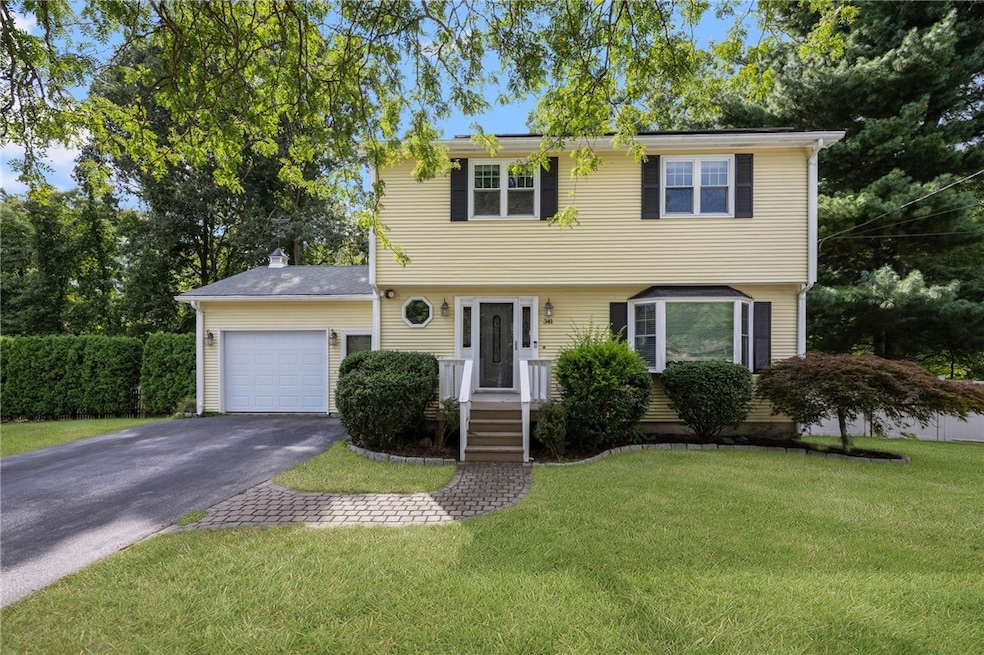
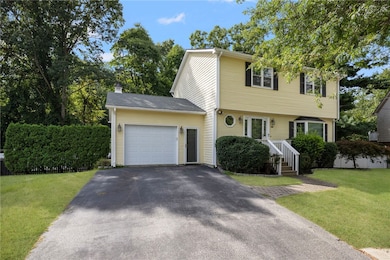
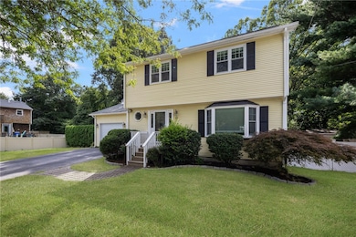
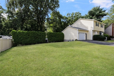
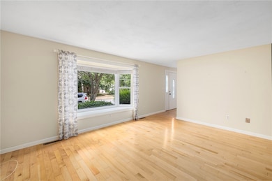
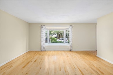
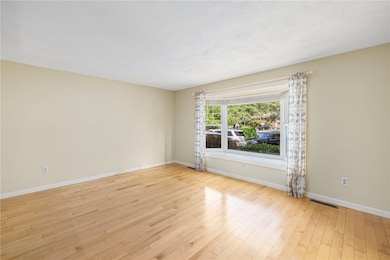
(All Offers Due No Later Than Tuesday, 1/13th, at Noon.) Pretty house...terrific location! Come tour this 3 bed, 2.5 bath Colonial with finished lower level. Lovely home features living & dining rooms along with a kitchen with dining area. Well designed home includes a lavette on the first level as well. Laundry is in the kitchen cleverly hidden behind bi-fold doors yet convenient enough to keep things moving from wash to dry. The one-car garage enters directly into the kitchen. The sliding door in the kitchen emptys onto the deck facing the fenced back yard. The upper level of the home has three ample sized bedrooms and a full bath with tub and shower. The lower level of the home is a real bonus. Discover a rec room with tile flooring and a full bath that's perfect for family and guests alike. Enjoy a large deck with above ground pool while having the best summer ever. Fenced back yard is perfect for your pets. Most importantly this home comes with the three things you really want including City water, City sewer and natural gas heat. No wells, no septics and no oil! Central A/C too. Solar Panels. Awesome location in this cul-de-sac neighborhood that is not a drive through. Close to Pawtuxet Village, nearby I-95 N&S and lots of shops and restaurants. Act now as this home is ready to go!
Last Agent to Sell the Property
Coldwell Banker Realty License #REB.0018078 Listed on: 11/04/2025
| Date | Type | Sale Price | Title Company |
|---|---|---|---|
| Deed | $488,670 | -- | |
| Quit Claim Deed | -- | None Available | |
| Quit Claim Deed | -- | None Available | |
| Quit Claim Deed | -- | None Available |
| Date | Status | Loan Amount | Loan Type |
|---|---|---|---|
| Open | $474,010 | New Conventional |
| Date | Event | Price | List to Sale | Price per Sq Ft |
|---|---|---|---|---|
| 02/11/2026 02/11/26 | Sold | $488,670 | +4.0% | $249 / Sq Ft |
| 01/29/2026 01/29/26 | Pending | -- | -- | -- |
| 01/06/2026 01/06/26 | For Sale | $469,900 | 0.0% | $240 / Sq Ft |
| 12/31/2025 12/31/25 | Pending | -- | -- | -- |
| 11/04/2025 11/04/25 | For Sale | $469,900 | -- | $240 / Sq Ft |
| Year | Tax Paid | Tax Assessment Tax Assessment Total Assessment is a certain percentage of the fair market value that is determined by local assessors to be the total taxable value of land and additions on the property. | Land | Improvement |
|---|---|---|---|---|
| 2025 | $4,743 | $373,500 | $101,900 | $271,600 |
| 2024 | $4,613 | $318,800 | $88,600 | $230,200 |
| 2023 | $4,524 | $318,800 | $88,600 | $230,200 |
| 2022 | $4,476 | $239,000 | $57,700 | $181,300 |
| 2021 | $4,476 | $239,000 | $57,700 | $181,300 |
| 2020 | $4,476 | $239,000 | $57,700 | $181,300 |
| 2019 | $4,476 | $239,000 | $57,700 | $181,300 |
| 2018 | $4,098 | $197,000 | $57,700 | $139,300 |
| 2017 | $3,987 | $197,000 | $57,700 | $139,300 |
| 2016 | $3,987 | $197,000 | $57,700 | $139,300 |
| 2015 | $4,189 | $201,900 | $68,100 | $133,800 |
| 2014 | $4,050 | $201,900 | $68,100 | $133,800 |
| 2013 | $3,996 | $201,900 | $68,100 | $133,800 |
Seller's Agent in 2026
John Chapski
Coldwell Banker Realty
(401) 808-9279
2 in this area
105 Total Sales
Buyer's Agent in 2026
Kyle Seyboth
Century 21 Limitless
(401) 415-8527
5 in this area
1,748 Total Sales
Source: State-Wide MLS
MLS Number: 1399348
APN: WARW-000295-000494-000000
Disclaimer: Certain information contained herein is derived from information provided by parties other than Homes.com. All information provided is deemed reliable, but is not guaranteed to be accurate and should be independently verified.
![]() IDX information is provided exclusively for personal, non-commercial use, and may not be used for any purpose other than to identify prospective properties consumers may be interested in purchasing. Information is deemed reliable but not guaranteed.
IDX information is provided exclusively for personal, non-commercial use, and may not be used for any purpose other than to identify prospective properties consumers may be interested in purchasing. Information is deemed reliable but not guaranteed.
Copyright © 2026 State-Wide MLS, Inc. All rights reserved.
Ask me questions while you tour the home.