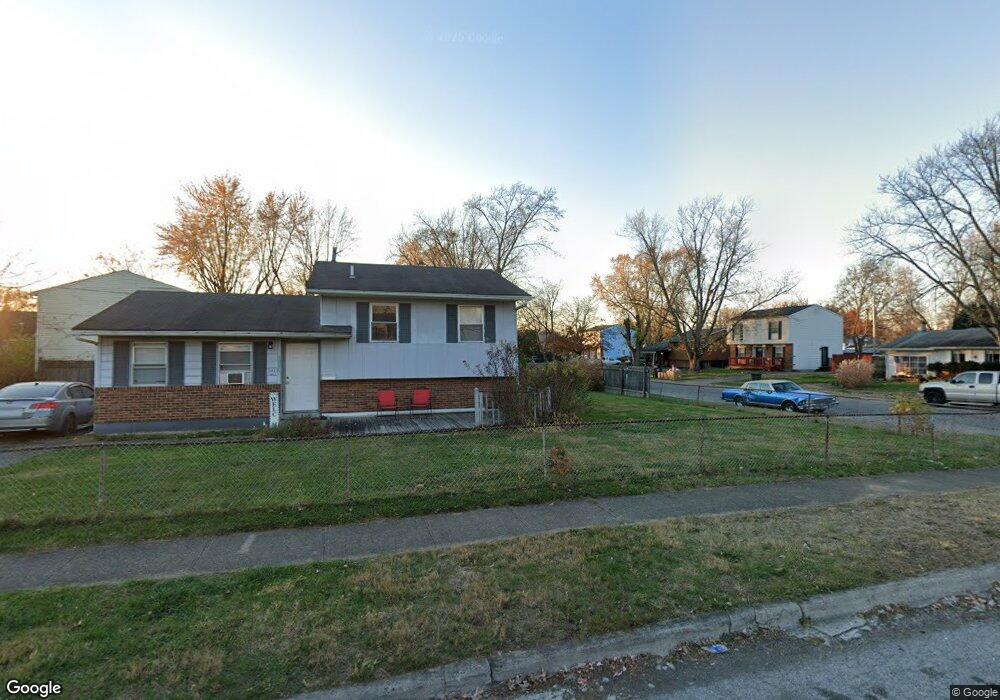
3411 Everson Rd W Columbus, OH 43232
East Columbus-White Ash NeighborhoodEstimated Value: $196,000 - $232,000
About This Home
This home is located at 3411 Everson Rd W, Columbus, OH 43232 and is currently estimated at $208,362, approximately $154 per square foot. 3411 Everson Rd W is a home located in Franklin County with nearby schools including Groveport Madison High School, A+ Arts Academy, and Columbus Arts & Technology Academy.
Ownership History
We collect this data history from publicly available records. To have your information removed, we recommend requesting removal directly through your county’s website.
Purchase Details
Purchase Details
Purchase Details
Purchase Details
Purchase Details
Home Financials for this Owner
Home Financials are based on the most recent Mortgage that was taken out on this home.Purchase Details
Home Financials for this Owner
Home Financials are based on the most recent Mortgage that was taken out on this home.Purchase Details
Home Financials for this Owner
Home Financials are based on the most recent Mortgage that was taken out on this home.Purchase Details
Home Values in the Area
Average Home Value in this Area
Purchase History
We collect this data history from publicly available records. To have your information removed, we recommend requesting removal directly through your county’s website.
| Date | Buyer | Sale Price | Title Company |
|---|---|---|---|
| $65,400 | Talon Group | ||
| $32,000 | Lakeside Ti | ||
| -- | Independent | ||
| $56,000 | None Available | ||
| $93,000 | Chicago Tit | ||
| $96,000 | Amerititle East | ||
| $66,000 | George Prittsolas Title | ||
| $45,900 | -- |
Mortgage History
We collect this data history from publicly available records. To have your information removed, we recommend requesting removal directly through your county’s website.
| Date | Status | Borrower | Loan Amount |
|---|---|---|---|
| Previous Owner | $91,563 | ||
| Previous Owner | $5,609 | ||
| Previous Owner | $96,000 | ||
| Previous Owner | $77,000 | ||
| Previous Owner | $56,100 |
Tax History
We collect this data history from publicly available records. To have your information removed, we recommend requesting removal directly through your county’s website.
| Year | Tax Paid | Tax Assessment Tax Assessment Total Assessment is a certain percentage of the fair market value that is determined by local assessors to be the total taxable value of land and additions on the property. | Land | Improvement |
|---|---|---|---|---|
| 2025 | $2,852 | $57,610 | $16,590 | $41,020 |
| 2024 | $2,852 | $57,610 | $16,590 | $41,020 |
| 2023 | $2,833 | $57,610 | $16,590 | $41,020 |
| 2022 | $2,224 | $35,920 | $7,250 | $28,670 |
| 2021 | $2,268 | $35,920 | $7,250 | $28,670 |
| 2020 | $2,274 | $35,920 | $7,250 | $28,670 |
| 2019 | $2,271 | $31,570 | $6,300 | $25,270 |
| 2018 | $2,066 | $31,570 | $6,300 | $25,270 |
| 2017 | $2,296 | $31,570 | $6,300 | $25,270 |
| 2016 | $1,848 | $22,890 | $4,970 | $17,920 |
| 2015 | $1,849 | $22,890 | $4,970 | $17,920 |
| 2014 | $1,698 | $22,890 | $4,970 | $17,920 |
| 2013 | $746 | $22,890 | $4,970 | $17,920 |
Map
- 5373 Deforest Dr
- 3415 Arnsby Rd
- 3328 Everson Rd E
- 3269 Sundale Rd
- 3325 Latonia Rd
- 3191 Portman Rd
- 5474 Inlet Dr
- 3252 Burdett Ct
- 3153 Portman Rd
- 3621 Tylor Dr
- 3595 Clearwater Dr
- 5185 Rutledge Dr S
- 5145 Rutledge Dr S
- 3700 Laguna Dr
- 5400 Wendover Dr
- 3512 Tremaine Rd
- 4897 Nieles Edge Dr
- 3773 Tylor Dr
- 2991 Fleet Rd
- 5203 Quincy Dr
- 3410 Everson Rd W
- 5429 Deforest Dr
- 3508 Arnsby Rd
- 5441 Deforest Dr
- 3419 Everson Rd W
- 3516 Arnsby Rd
- 5420 Deforest Dr
- 5428 Deforest Dr
- 5410 Deforest Dr
- 5389 Deforest Dr
- 5453 Deforest Dr
- 3524 Arnsby Rd
- 3464 Arnsby Rd
- 5440 Deforest Dr
- 5400 Deforest Dr
- 5381 Deforest Dr
- 3337 Everson Rd W
- 5459 Deforest Dr
- 3532 Arnsby Rd
- 5388 Deforest Dr
Ask me questions while you tour the home.