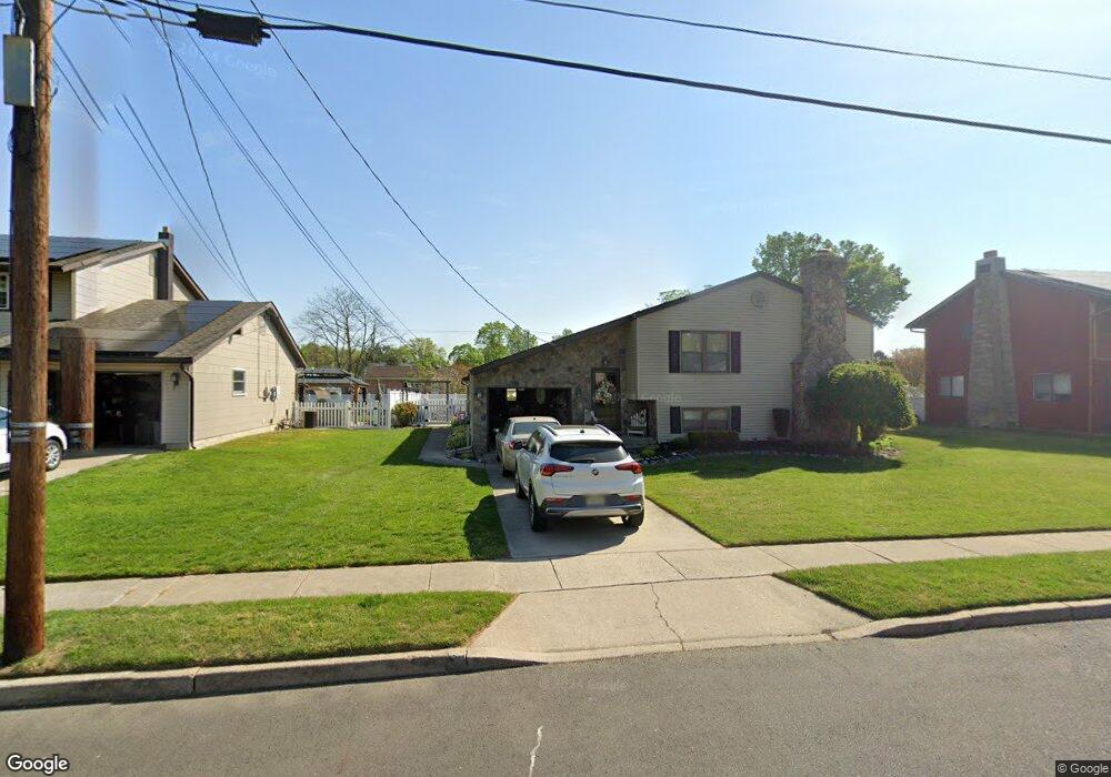
342 Carson Ave Gibbstown, NJ 08027
Estimated Value: $237,000 - $403,000
About This Home
This home is located at 342 Carson Ave, Gibbstown, NJ 08027 and is currently estimated at $324,769, approximately $195 per square foot. 342 Carson Ave is a home located in Gloucester County with nearby schools including Nehaunsey Middle School and Guardian Angels Regional School.
Ownership History
We collect this data history from publicly available records. To have your information removed, we recommend requesting removal directly through your county’s website.
Purchase Details
Home Financials for this Owner
Home Financials are based on the most recent Mortgage that was taken out on this home.Purchase Details
Home Values in the Area
Average Home Value in this Area
Purchase History
We collect this data history from publicly available records. To have your information removed, we recommend requesting removal directly through your county’s website.
| Date | Buyer | Sale Price | Title Company |
|---|---|---|---|
| -- | National Title Agency | ||
| -- | -- |
Mortgage History
We collect this data history from publicly available records. To have your information removed, we recommend requesting removal directly through your county’s website.
| Date | Status | Borrower | Loan Amount |
|---|---|---|---|
| Open | $96,800 |
Tax History
We collect this data history from publicly available records. To have your information removed, we recommend requesting removal directly through your county’s website.
| Year | Tax Paid | Tax Assessment Tax Assessment Total Assessment is a certain percentage of the fair market value that is determined by local assessors to be the total taxable value of land and additions on the property. | Land | Improvement |
|---|---|---|---|---|
| 2025 | $6,277 | $182,300 | $36,500 | $145,800 |
| 2024 | $5,947 | $182,300 | $36,500 | $145,800 |
| 2023 | $5,947 | $182,300 | $36,500 | $145,800 |
| 2022 | $5,950 | $182,300 | $36,500 | $145,800 |
| 2021 | $5,888 | $182,300 | $36,500 | $145,800 |
| 2020 | $5,970 | $182,300 | $36,500 | $145,800 |
| 2019 | $5,974 | $182,300 | $36,500 | $145,800 |
| 2018 | $5,804 | $182,300 | $36,500 | $145,800 |
| 2017 | $5,664 | $182,300 | $36,500 | $145,800 |
| 2016 | $5,602 | $182,300 | $36,500 | $145,800 |
| 2015 | $5,422 | $182,300 | $36,500 | $145,800 |
| 2014 | $5,188 | $182,300 | $36,500 | $145,800 |
Map
- 21 Chester Ave
- 119 E Broad St
- 44 S Market St
- 27 S Market St
- 211 Berkley Rd
- 448 Thomson Ave
- 211 Swedesboro Ave
- 1144 Berkley Rd
- 400 Thomson Ave
- L18 20 W Broad St
- 459 W Broad St
- 263 Elizabeth Ave
- 354 Memorial Ave
- 311 Morton Ave
- 0 Dora & Huff Ave
- 104 Patterson Ave
- 1022 Penn Line Rd
- 372 W Broad St
- 361 Democrat Rd
- 1003 Hoffman Ave
Ask me questions while you tour the home.