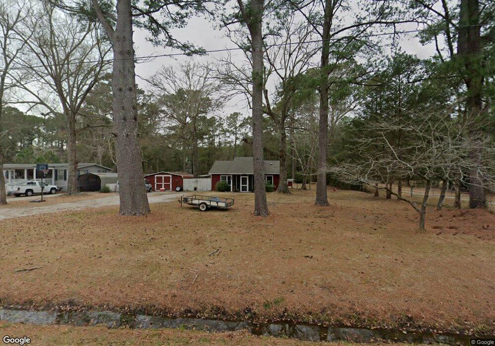
342 Mccabe Rd Newport, NC 28570
Estimated Value: $247,000 - $313,000
About This Home
This home is located at 342 Mccabe Rd, Newport, NC 28570 and is currently estimated at $278,629, approximately $292 per square foot. 342 Mccabe Rd is a home located in Carteret County with nearby schools including Morehead City Primary School, Morehead Elementary School at Camp Glenn, and Morehead City Middle School.
Ownership History
We collect this data history from publicly available records. To have your information removed, we recommend requesting removal directly through your county’s website.
Purchase Details
Home Financials for this Owner
Home Financials are based on the most recent Mortgage that was taken out on this home.Purchase Details
Home Values in the Area
Average Home Value in this Area
Purchase History
We collect this data history from publicly available records. To have your information removed, we recommend requesting removal directly through your county’s website.
| Date | Buyer | Sale Price | Title Company |
|---|---|---|---|
| $104,000 | None Available | ||
| $52,000 | -- |
Mortgage History
We collect this data history from publicly available records. To have your information removed, we recommend requesting removal directly through your county’s website.
| Date | Status | Borrower | Loan Amount |
|---|---|---|---|
| Open | $105,050 |
Tax History
We collect this data history from publicly available records. To have your information removed, we recommend requesting removal directly through your county’s website.
| Year | Tax Paid | Tax Assessment Tax Assessment Total Assessment is a certain percentage of the fair market value that is determined by local assessors to be the total taxable value of land and additions on the property. | Land | Improvement |
|---|---|---|---|---|
| 2025 | $814 | $234,770 | $83,755 | $151,015 |
| 2024 | $556 | $101,111 | $32,509 | $68,602 |
| 2023 | $630 | $101,111 | $32,509 | $68,602 |
| 2022 | $619 | $101,111 | $32,509 | $68,602 |
| 2021 | $599 | $101,111 | $32,509 | $68,602 |
| 2020 | $582 | $101,111 | $32,509 | $68,602 |
| 2019 | $560 | $100,672 | $26,343 | $74,329 |
| 2017 | $523 | $90,783 | $26,343 | $64,440 |
| 2016 | $523 | $90,783 | $26,343 | $64,440 |
| 2015 | $514 | $90,783 | $26,343 | $64,440 |
| 2014 | $373 | $97,478 | $36,210 | $61,268 |
Map
- 311 Lord Granville Dr
- 215 Oak Dr
- 304 Lord Granville Dr
- 206 Spruce Dr
- 212 Lord Granville Dr
- 411 Oakmont Dr
- 806 Lord Granville Dr
- 901 Cedarwood Village
- 105 Pine Bluff Dr
- 104 Gull Harbor Dr
- 703 Cedarwood Village
- 702 Cedarwood Village
- 215 Brandywine Place Dr
- 1202 Cedarwood Village
- 119 Pine Bluff Dr
- 203 Brandywine Place Dr
- 514 Village Green Dr
- 142 Corncake Cir Unit 2
- 505 Village Green Dr Unit A
- 112 Carefree Ln
- 362 Mccabe Rd
- 324 Mccabe Rd
- 370 Mccabe Rd
- 357 Mccabe Rd
- 341 Mccabe Rd
- 5 Mccabe Rd
- 374 Mccabe Rd
- 338 Mccabe Rd
- 380 Mccabe Rd
- 207 Westchester Dr
- 386 Mccabe Rd
- 205 Westchester Dr
- 209 Westchester Dr
- 396 Mccabe Rd
- 211 Westchester Dr
- 296 Mccabe Rd
- 402 Mccabe Rd
- 204 Westchester Dr
- 201 Westchester Dr
- 210 Westchester Dr
Ask me questions while you tour the home.