342 Upper 57 Rd Kunkletown, PA 18058
Estimated Value: $324,209 - $420,000
3
Beds
2
Baths
1,328
Sq Ft
$286/Sq Ft
Est. Value
About This Home
This home is located at 342 Upper 57 Rd, Kunkletown, PA 18058 and is currently estimated at $380,302, approximately $286 per square foot. 342 Upper 57 Rd is a home located in Monroe County with nearby schools including Pleasant Valley Elementary School, Pleasant Valley Intermediate School, and Pleasant Valley Middle School.
Ownership History
Date
Name
Owned For
Owner Type
Purchase Details
Closed on
Jul 12, 2016
Sold by
Eckley Julie A and George Kichline Julie A
Bought by
George Justin and George Samantha
Current Estimated Value
Home Financials for this Owner
Home Financials are based on the most recent Mortgage that was taken out on this home.
Original Mortgage
$160,000
Outstanding Balance
$131,574
Interest Rate
3.66%
Mortgage Type
New Conventional
Estimated Equity
$248,728
Purchase Details
Closed on
Mar 5, 2009
Sold by
George Bruce and George Wanda
Bought by
Eckley Julie A
Home Financials for this Owner
Home Financials are based on the most recent Mortgage that was taken out on this home.
Original Mortgage
$135,000
Interest Rate
5.18%
Mortgage Type
New Conventional
Create a Home Valuation Report for This Property
The Home Valuation Report is an in-depth analysis detailing your home's value as well as a comparison with similar homes in the area
Home Values in the Area
Average Home Value in this Area
Purchase History
| Date | Buyer | Sale Price | Title Company |
|---|---|---|---|
| George Justin | $160,000 | Attorney | |
| Eckley Julie A | -- | None Available |
Source: Public Records
Mortgage History
| Date | Status | Borrower | Loan Amount |
|---|---|---|---|
| Open | George Justin | $160,000 | |
| Previous Owner | Eckley Julie A | $135,000 |
Source: Public Records
Tax History
| Year | Tax Paid | Tax Assessment Tax Assessment Total Assessment is a certain percentage of the fair market value that is determined by local assessors to be the total taxable value of land and additions on the property. | Land | Improvement |
|---|---|---|---|---|
| 2025 | $1,359 | $177,030 | $67,400 | $109,630 |
| 2024 | $1,094 | $177,030 | $67,400 | $109,630 |
| 2023 | $5,322 | $177,030 | $67,400 | $109,630 |
| 2022 | $5,132 | $177,030 | $67,400 | $109,630 |
| 2021 | $5,020 | $177,030 | $67,400 | $109,630 |
| 2019 | $3,962 | $21,950 | $3,530 | $18,420 |
| 2018 | $3,919 | $21,950 | $3,530 | $18,420 |
| 2017 | $3,919 | $21,950 | $3,530 | $18,420 |
| 2016 | $675 | $21,950 | $3,530 | $18,420 |
| 2015 | -- | $21,950 | $3,530 | $18,420 |
| 2014 | -- | $21,950 | $3,530 | $18,420 |
Source: Public Records
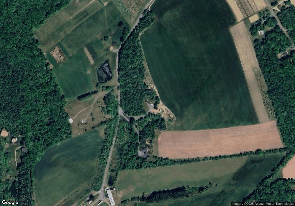
Map
Nearby Homes
- 205 Sycamore Dr
- 150 Red Oak Dr
- Lot 32 Greenview Ct
- 00 Floyd Rd
- 361 Interchange Rd
- 112 Trach Rd
- 0 T425
- 207 Scenic Dr
- 0 Sr 209 Unit PM-130225
- 950 Koch Rd
- 0 Creekview Rd Unit PM-140005
- 154 Scheller Hill Rd
- 1850 Spruce Hollow Rd
- 0 Victoria Arms Cir Unit PM-133039
- Lot 38 Woodview Hills
- 8285 Pohopoco Dr
- 160 Grassy Rd
- 295 Railbed Trail
- 0 Co Line & Lr 45052 Unit PM-137915
- 7590 Pohopoco Dr
Your Personal Tour Guide
Ask me questions while you tour the home.