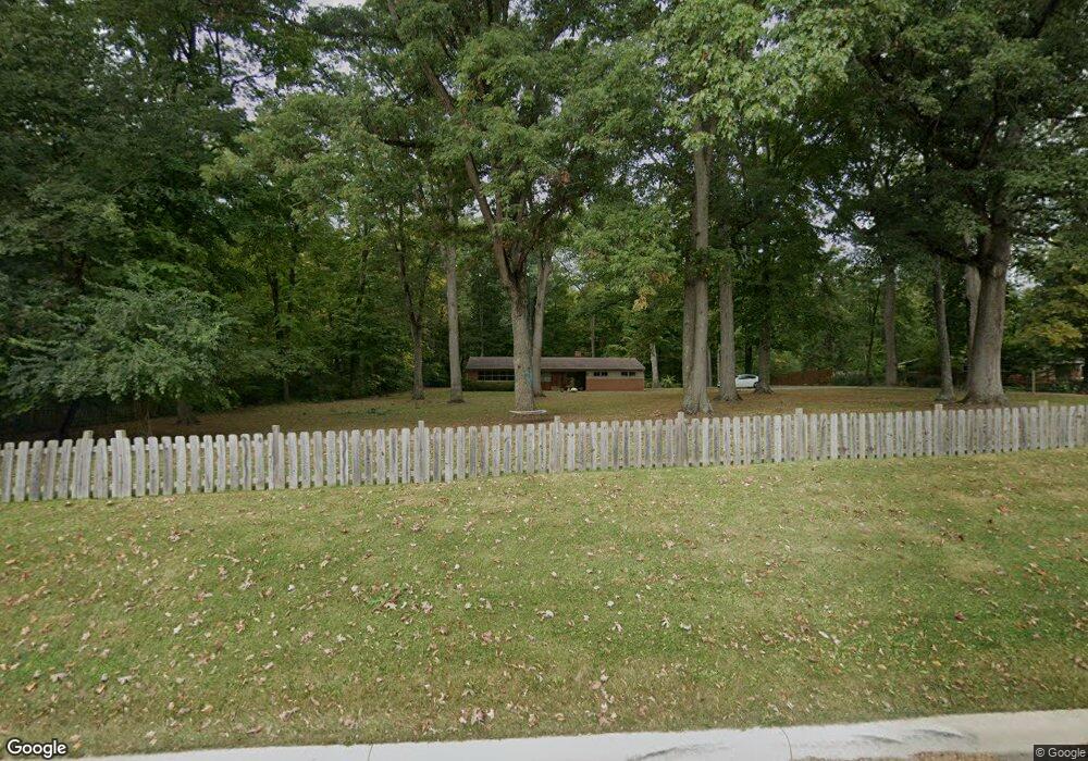
3421 Derr Rd Springfield, OH 45503
Estimated Value: $225,603 - $250,000
2
Beds
1
Bath
1,244
Sq Ft
$193/Sq Ft
Est. Value
About This Home
This home is located at 3421 Derr Rd, Springfield, OH 45503 and is currently estimated at $240,401, approximately $193 per square foot. 3421 Derr Rd is a home located in Clark County with nearby schools including Northridge Elementary School, Kenton Ridge Middle & High School, and Emmanuel Christian Academy.
Ownership History
Date
Name
Owned For
Owner Type
Purchase Details
Closed on
Aug 31, 2018
Sold by
Mccarley Betty R
Bought by
Geiger Stanley W and Geiger Shirleen L
Current Estimated Value
Purchase Details
Closed on
Nov 20, 2003
Sold by
Mccarley Stephen P and Mccarley Betty R
Bought by
Mccarley Stephen P and Mccarley Betty R
Create a Home Valuation Report for This Property
The Home Valuation Report is an in-depth analysis detailing your home's value as well as a comparison with similar homes in the area
Home Values in the Area
Average Home Value in this Area
Purchase History
| Date | Buyer | Sale Price | Title Company |
|---|---|---|---|
| Geiger Stanley W | $130,000 | None Available | |
| Mccarley Stephen P | -- | -- |
Source: Public Records
Tax History
| Year | Tax Paid | Tax Assessment Tax Assessment Total Assessment is a certain percentage of the fair market value that is determined by local assessors to be the total taxable value of land and additions on the property. | Land | Improvement |
|---|---|---|---|---|
| 2025 | $2,141 | $67,120 | $23,140 | $43,980 |
| 2024 | $2,071 | $48,720 | $22,630 | $26,090 |
| 2023 | $2,071 | $48,720 | $22,630 | $26,090 |
| 2022 | $2,078 | $48,720 | $22,630 | $26,090 |
| 2021 | $1,964 | $39,030 | $17,960 | $21,070 |
| 2020 | $1,966 | $39,030 | $17,960 | $21,070 |
| 2019 | $2,003 | $39,030 | $17,960 | $21,070 |
| 2018 | $1,437 | $35,480 | $16,310 | $19,170 |
| 2017 | $1,233 | $31,983 | $16,310 | $15,673 |
| 2016 | $1,225 | $31,983 | $16,310 | $15,673 |
| 2015 | $1,114 | $31,983 | $16,310 | $15,673 |
| 2014 | $1,113 | $31,983 | $16,310 | $15,673 |
| 2013 | $1,088 | $31,983 | $16,310 | $15,673 |
Source: Public Records
Map
Nearby Homes
- 1136 Foxboro Rd Unit 202
- 1013 Abington Place
- 3052 Brixton Dr E
- 1039 Bradford Dr Unit 42
- 1031 Armsgate Rd Unit 11
- 1201 Kingsgate Rd
- 615 Villa Rd Unit B
- 3631 Kingsgate Ln
- 1500 Kingsgate Rd Unit 19430
- 1502 Kingsgate Rd Unit 19432
- 1500 Kingsgate Rd
- 1502 Kingsgate Rd
- 3135 Imperial Blvd
- 3124 El Camino Dr
- 1503 Kingsgate Rd
- 1505 Kingsgate Rd
- 1507 Kingsgate Rd
- 732 Grandview Dr Unit 732
- 3112 El Camino Dr
- 1404 Providence Ave
- 3435 Derr Rd
- 3405 Derr Rd
- 3345 Derr Rd
- 3501 Derr Rd
- 3333 Derr Rd
- 3400 Derr Rd
- 3440 Derr Rd
- 3448 Derr Rd
- 3338 Derr Rd
- 3319 Derr Rd
- 3103 Brixton Dr W Unit 115
- 3099 Brixton Dr W
- 3099 Brixton Dr W Unit 116
- 3107 Brixton Dr W
- 3107 Brixton Dr W Unit 114
- 3095 Brixton Dr W
- 3326 Derr Rd
- 3516 Derr Rd
- 3111 Brixton Dr W
- 3091 Brixton Dr W
Your Personal Tour Guide
Ask me questions while you tour the home.