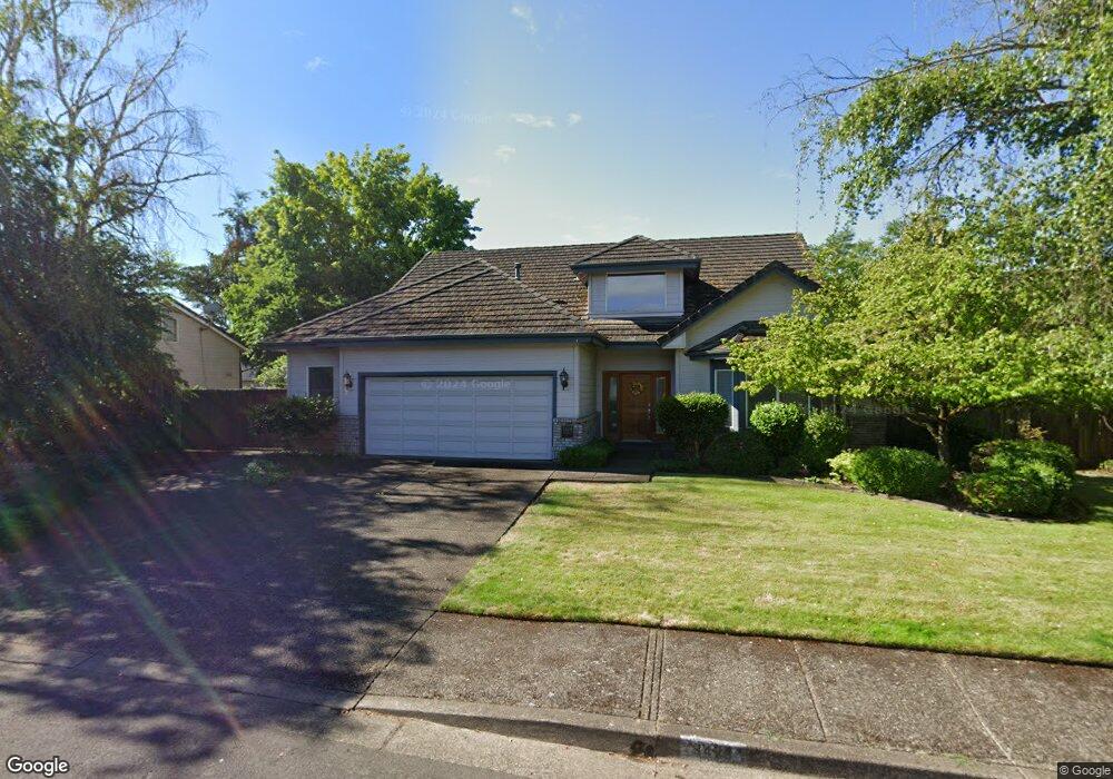
3428 Hampton Way Eugene, OR 97401
Harlow NeighborhoodEstimated Value: $741,019 - $864,000
4
Beds
3
Baths
2,734
Sq Ft
$289/Sq Ft
Est. Value
About This Home
This home is located at 3428 Hampton Way, Eugene, OR 97401 and is currently estimated at $790,755, approximately $289 per square foot. 3428 Hampton Way is a home located in Lane County with nearby schools including Holt Elementary School, Monroe Middle School, and Sheldon High School.
Ownership History
Date
Name
Owned For
Owner Type
Purchase Details
Closed on
Nov 11, 2003
Sold by
Keasbey Doramay
Bought by
Keasbey Doramay and Doramay Keasbey Trust
Current Estimated Value
Purchase Details
Closed on
Oct 2, 2002
Sold by
King Stanley E and King Melinda K
Bought by
Keasbey William P and Keasbey Doramay
Home Financials for this Owner
Home Financials are based on the most recent Mortgage that was taken out on this home.
Original Mortgage
$256,000
Outstanding Balance
$92,369
Interest Rate
4.5%
Estimated Equity
$698,386
Create a Home Valuation Report for This Property
The Home Valuation Report is an in-depth analysis detailing your home's value as well as a comparison with similar homes in the area
Home Values in the Area
Average Home Value in this Area
Purchase History
| Date | Buyer | Sale Price | Title Company |
|---|---|---|---|
| Keasbey Doramay | -- | -- | |
| Keasbey William P | $320,000 | Fidelity National Title Co |
Source: Public Records
Mortgage History
| Date | Status | Borrower | Loan Amount |
|---|---|---|---|
| Open | Keasbey William P | $256,000 |
Source: Public Records
Tax History
| Year | Tax Paid | Tax Assessment Tax Assessment Total Assessment is a certain percentage of the fair market value that is determined by local assessors to be the total taxable value of land and additions on the property. | Land | Improvement |
|---|---|---|---|---|
| 2025 | $8,906 | $483,389 | -- | -- |
| 2024 | $8,795 | $469,310 | -- | -- |
| 2023 | $8,795 | $455,641 | $0 | $0 |
| 2022 | $8,239 | $442,370 | $0 | $0 |
| 2021 | $7,739 | $429,486 | $0 | $0 |
| 2020 | $7,766 | $416,977 | $0 | $0 |
| 2019 | $7,500 | $404,833 | $0 | $0 |
| 2018 | $7,058 | $381,594 | $0 | $0 |
| 2017 | $6,671 | $381,594 | $0 | $0 |
| 2016 | $6,311 | $370,480 | $0 | $0 |
| 2015 | $6,146 | $359,689 | $0 | $0 |
| 2014 | $6,004 | $349,213 | $0 | $0 |
Source: Public Records
Map
Nearby Homes
- 1630 Ridgley Blvd
- 1564 Regency Dr
- 1491 Victorian Way
- 1271 Arcadia Dr
- 0 Sprig Ln Unit Lot 3
- 0 Sprig Ln Unit Lot 3 766109892
- 3700 Babcock Ln Unit 106
- 2956 Willakenzie Rd
- 825 Waverly St
- 2727 Gateway St Unit 27
- 624 Tinamou Ln
- 3530 E Game Farm Rd Unit 16
- 2580 Elysium Ave
- 520 Ethan Ct
- 2577 Elysium Ave
- 349 van Duyn St
- 2872 Suffolk Ct
- 950 Coburg Rd
- 1090 Corydon St
- 650 Harlow Rd Unit 209
- 3440 Hampton Way
- 3394 Hampton Way
- 3409 Winchester Way
- 3425 Winchester Way
- 3423 Hampton Way
- 3435 Hampton Way
- 3411 Hampton Way
- 3387 Winchester Way
- 3447 Hampton Way
- 1570 Kingston Way
- 3385 Hampton Way
- 3372 Hampton Way
- 3441 Winchester Way
- 1592 Kingston Way
- 3414 Winchester Way
- 3396 Winchester Way
- 3363 Hampton Way
- 3365 Winchester Way
- 3420 Hathaway Ave
- 3410 Hathaway Ave
Your Personal Tour Guide
Ask me questions while you tour the home.