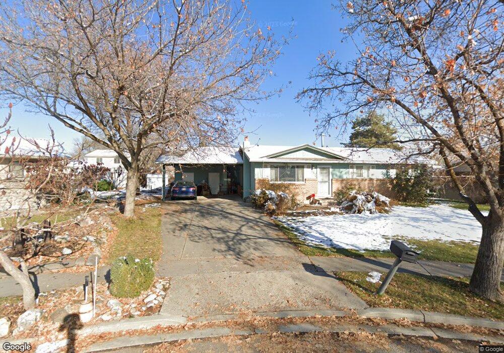
343 E 500 N American Fork, UT 84003
Estimated Value: $470,794 - $546,000
4
Beds
2
Baths
1,080
Sq Ft
$465/Sq Ft
Est. Value
About This Home
This home is located at 343 E 500 N, American Fork, UT 84003 and is currently estimated at $502,199, approximately $464 per square foot. 343 E 500 N is a home located in Utah County with nearby schools including Forbes Elementary School, American Fork Junior High School, and American Fork High School.
Create a Home Valuation Report for This Property
The Home Valuation Report is an in-depth analysis detailing your home's value as well as a comparison with similar homes in the area
Home Values in the Area
Average Home Value in this Area
Tax History
| Year | Tax Paid | Tax Assessment Tax Assessment Total Assessment is a certain percentage of the fair market value that is determined by local assessors to be the total taxable value of land and additions on the property. | Land | Improvement |
|---|---|---|---|---|
| 2025 | $2,017 | $239,635 | -- | -- |
| 2024 | $2,017 | $224,070 | $0 | $0 |
| 2023 | $1,883 | $221,760 | $0 | $0 |
| 2022 | $2,091 | $243,045 | $0 | $0 |
| 2021 | $1,790 | $325,100 | $136,000 | $189,100 |
| 2020 | $1,675 | $294,900 | $121,400 | $173,500 |
| 2019 | $1,528 | $278,400 | $114,500 | $163,900 |
| 2018 | $1,416 | $246,600 | $104,100 | $142,500 |
| 2017 | $1,399 | $131,450 | $0 | $0 |
| 2016 | $1,359 | $118,690 | $0 | $0 |
| 2015 | $1,380 | $114,400 | $0 | $0 |
| 2014 | $1,319 | $107,855 | $0 | $0 |
Source: Public Records
Map
Nearby Homes
Your Personal Tour Guide
Ask me questions while you tour the home.