Estimated Value: $156,000 - $274,000
Studio
--
Bath
1,538
Sq Ft
$130/Sq Ft
Est. Value
About This Home
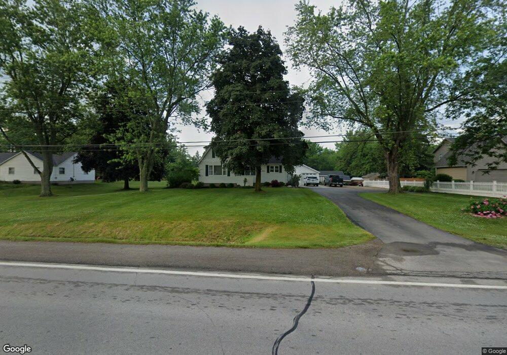
This home is located at 3430 E Maple Ave, Flint, MI 48507 and is currently estimated at $199,717, approximately $129 per square foot. 3430 E Maple Ave is a home located in Genesee County with nearby schools including Anderson Elementary School, McGrath Elementary School, and Grand Blanc West Middle School.
Ownership History
Date
Name
Owned For
Owner Type
Purchase Details
Closed on
Nov 14, 2022
Sold by
Barkman Dale and Barkman Janice
Bought by
Barkman Janice and Barkman Dale
Current Estimated Value
Purchase Details
Closed on
Sep 23, 2013
Sold by
Estate Of Mary Eggert
Bought by
Barkman Janice
Home Financials for this Owner
Home Financials are based on the most recent Mortgage that was taken out on this home.
Original Mortgage
$40,000
Interest Rate
4.14%
Mortgage Type
New Conventional
Create a Home Valuation Report for This Property
The Home Valuation Report is an in-depth analysis detailing your home's value as well as a comparison with similar homes in the area
Home Values in the Area
Average Home Value in this Area
Purchase History
| Date | Buyer | Sale Price | Title Company |
|---|---|---|---|
| Barkman Janice | -- | Land Title | |
| Barkman Janice | -- | -- | |
| Barkman Dale | -- | Land Title | |
| Barkman Janice | -- | None Listed On Document | |
| Barkman Janice | $75,000 | Bell Title |
Source: Public Records
Mortgage History
| Date | Status | Borrower | Loan Amount |
|---|---|---|---|
| Previous Owner | Barkman Janice | $40,000 |
Source: Public Records
Tax History
| Year | Tax Paid | Tax Assessment Tax Assessment Total Assessment is a certain percentage of the fair market value that is determined by local assessors to be the total taxable value of land and additions on the property. | Land | Improvement |
|---|---|---|---|---|
| 2025 | $2,380 | $83,100 | $0 | $0 |
| 2024 | $1,378 | $79,800 | $0 | $0 |
| 2023 | $1,315 | $65,600 | $0 | $0 |
| 2022 | $2,111 | $70,400 | $0 | $0 |
| 2021 | $2,078 | $67,200 | $0 | $0 |
| 2020 | $1,212 | $53,400 | $0 | $0 |
| 2019 | $1,194 | $49,400 | $0 | $0 |
| 2018 | $2,061 | $48,400 | $0 | $0 |
| 2017 | $1,822 | $47,400 | $0 | $0 |
| 2016 | $1,806 | $47,900 | $0 | $0 |
| 2015 | $1,714 | $44,300 | $0 | $0 |
| 2012 | -- | $43,900 | $43,900 | $0 |
Source: Public Records
Map
Nearby Homes
- 3441 E Maple Ave
- 10 Applewood Ln
- 5038 Palomar Dr
- 4410 S Center Rd
- 4223 Keene Dr
- 5216 Northwood Rd Unit 77
- 00 Sloan Heights
- 3.29(+/-) Acres E Hill Rd
- 5555 E Hill Rd
- 00 Durant Heights
- 2429 Lincoln Manor Dr
- 1234 Fisher Heights
- 5555 S Genesee Rd
- 2374 Bradford Dr
- 4424 Kristina Dr
- 00 E Maple Ave
- 4362 Meadowlark Dr
- VL S Saginaw St
- 0 Helen Ave Unit 20251047188
- 00 Lincoln Manor Dr
- 3418 E Maple Ave
- 3444 E Maple Ave
- 3444 E Maple Ave
- 3444 E Maple Ave
- 3466 E Maple Ave
- 3423 E Maple Ave
- 5093 Mellwood Dr
- 5105 Mellwood Dr
- 5083 Mellwood Dr
- 3468 E Maple Ave
- 3507 Applewood Ln Unit 7
- 3455 E Maple Ave
- 3402 E Maple Ave
- 3431 E Maple Ave
- 5113 Mellwood Dr
- 5071 Mellwood Dr
- 3407 E Maple Ave
- 3511 Applewood Ln Unit 6
- 8 Applewood Ln
- 3515 Applewood Ln Unit 5
Your Personal Tour Guide
Ask me questions while you tour the home.