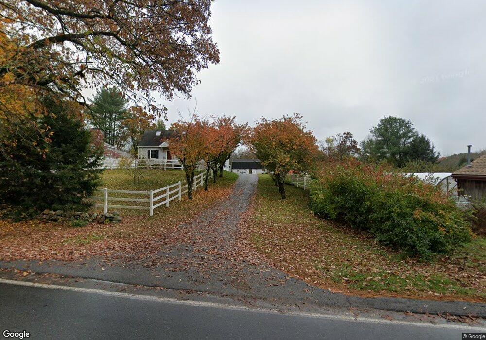
344 Linebrook Rd Ipswich, MA 01938
Estimated Value: $817,665 - $942,000
About This Home
This home is located at 344 Linebrook Rd, Ipswich, MA 01938 and is currently estimated at $866,666, approximately $515 per square foot. 344 Linebrook Rd is a home located in Essex County with nearby schools including Ipswich High School, Clark School, and North Shore Montessori School.
Ownership History
We collect this data history from publicly available records. To have your information removed, we recommend requesting removal directly through your county’s website.
Purchase Details
Home Financials for this Owner
Home Financials are based on the most recent Mortgage that was taken out on this home.Purchase Details
Purchase Details
Home Values in the Area
Average Home Value in this Area
Purchase History
We collect this data history from publicly available records. To have your information removed, we recommend requesting removal directly through your county’s website.
| Date | Buyer | Sale Price | Title Company |
|---|---|---|---|
| $530,000 | -- | ||
| $277,000 | -- | ||
| $140,000 | -- |
Mortgage History
We collect this data history from publicly available records. To have your information removed, we recommend requesting removal directly through your county’s website.
| Date | Status | Borrower | Loan Amount |
|---|---|---|---|
| Open | $270,000 | ||
| Closed | $270,000 | ||
| Previous Owner | $154,000 |
Tax History
We collect this data history from publicly available records. To have your information removed, we recommend requesting removal directly through your county’s website.
| Year | Tax Paid | Tax Assessment Tax Assessment Total Assessment is a certain percentage of the fair market value that is determined by local assessors to be the total taxable value of land and additions on the property. | Land | Improvement |
|---|---|---|---|---|
| 2025 | $7,990 | $716,600 | $363,900 | $352,700 |
| 2024 | $7,612 | $668,900 | $365,300 | $303,600 |
| 2023 | $7,388 | $604,100 | $343,500 | $260,600 |
| 2022 | $6,912 | $537,500 | $299,900 | $237,600 |
| 2021 | $6,885 | $520,800 | $299,900 | $220,900 |
| 2020 | $6,938 | $494,900 | $278,200 | $216,700 |
| 2019 | $6,867 | $487,400 | $278,200 | $209,200 |
| 2018 | $6,834 | $479,900 | $278,200 | $201,700 |
| 2017 | $6,530 | $460,200 | $265,100 | $195,100 |
| 2016 | $6,455 | $434,700 | $252,000 | $182,700 |
| 2015 | $5,817 | $430,600 | $243,300 | $187,300 |
Map
- 375 Linebrook Rd
- 2 Howard St
- 49 Country Club Way
- 75 Country Club Way
- 22 Mehaffey Ln
- 19 Pheasant Ln
- 870 Haverhill St Unit 23
- 3 Cedarwood Ln
- 45 Campmeeting Rd
- 901 Haverhill St
- 5 Blueberry Ln
- 189 Ipswich Rd
- 1 Pearl Way
- 3 Pearl Way
- 4 Pearl Way
- 38 Buttonwood Unit 30
- 38 Buttonwood
- 7 Pearl Way
- 9 Booth Ct Unit 9
- 9 Booth Ct
- 342 Linebrook Rd
- 348 Linebrook Rd
- 340 Linebrook Rd
- 367 Linebrook Rd
- 5 Leslie Rd
- 361 Linebrook Rd
- 350 Linebrook Rd
- 3 Leslie Rd
- 7 Leslie Rd
- 9 Leslie Rd
- 352 Linebrook Rd
- 359 Linebrook Rd
- 1 Leslie Rd
- 336 Linebrook Rd
- 354 Linebrook Rd
- 357 Linebrook Rd
- 11 Leslie Rd
- 353 Linebrook Rd
- 8 Leslie Rd
- 13 Leslie Rd
Ask me questions while you tour the home.