345 Harmes Way Eastham, MA 02642
North Eastham AreaEstimated Value: $1,089,000 - $3,098,672
About This Home
This home is located at 345 Harmes Way, Eastham, MA 02642 and is currently estimated at $2,498,668, approximately $2,135 per square foot. 345 Harmes Way is a home located in Barnstable County with nearby schools including Eastham Elementary School, Nauset Regional Middle School, and Nauset Regional High School.
Ownership History
We collect this data history from publicly available records. To have your information removed, we recommend requesting removal directly through your county’s website.
Purchase Details
Purchase Details
Home Values in the Area
Average Home Value in this Area
Purchase History
We collect this data history from publicly available records. To have your information removed, we recommend requesting removal directly through your county’s website.
| Date | Buyer | Sale Price | Title Company |
|---|---|---|---|
| $1,100,000 | -- | ||
| -- | -- |
Mortgage History
We collect this data history from publicly available records. To have your information removed, we recommend requesting removal directly through your county’s website.
| Date | Status | Borrower | Loan Amount |
|---|---|---|---|
| Open | $525,000 | ||
| Closed | $813,700 |
Tax History
We collect this data history from publicly available records. To have your information removed, we recommend requesting removal directly through your county’s website.
| Year | Tax Paid | Tax Assessment Tax Assessment Total Assessment is a certain percentage of the fair market value that is determined by local assessors to be the total taxable value of land and additions on the property. | Land | Improvement |
|---|---|---|---|---|
| 2025 | $21,846 | $2,833,500 | $1,510,900 | $1,322,600 |
| 2024 | $12,326 | $1,758,400 | $1,257,300 | $501,100 |
| 2023 | $7,672 | $1,059,700 | $1,058,400 | $1,300 |
| 2022 | $9,965 | $1,161,400 | $1,039,500 | $121,900 |
| 2021 | $11,136 | $1,213,100 | $1,102,200 | $110,900 |
| 2020 | $10,715 | $1,228,800 | $1,125,000 | $103,800 |
| 2019 | $9,855 | $1,194,600 | $1,092,300 | $102,300 |
| 2018 | $9,687 | $1,160,100 | $1,060,500 | $99,600 |
| 2017 | $8,997 | $1,138,800 | $1,039,700 | $99,100 |
| 2016 | $8,435 | $1,133,800 | $1,039,700 | $94,100 |
| 2015 | $7,237 | $1,019,300 | $926,600 | $92,700 |
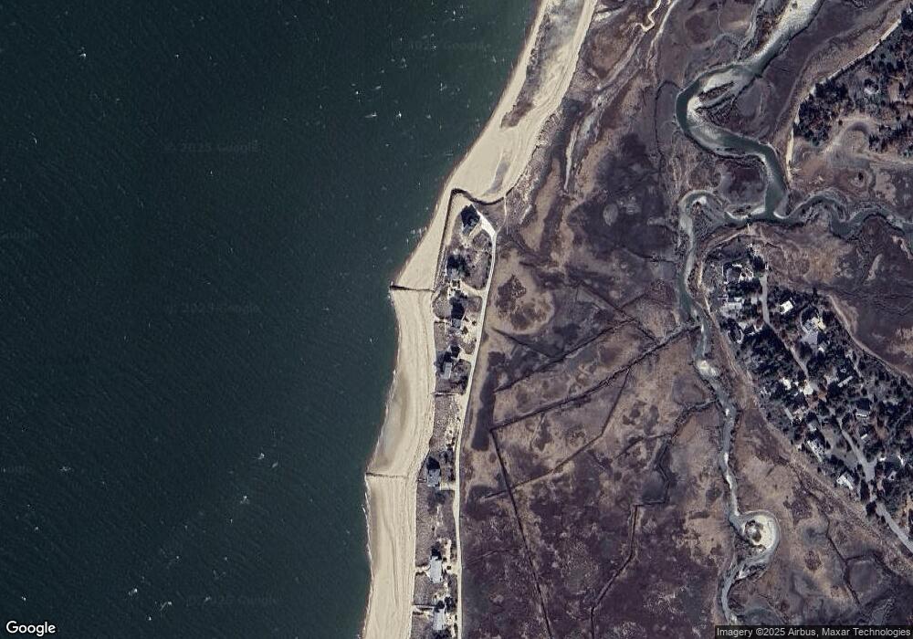
Map
- 65 Harmes Way
- 311 S Sunken Meadow Rd
- 210 West Rd Unit C-26
- 11 Whelpley Rd
- 90 Ring Rd
- 1230 Massasoit Rd
- 495 Aspinet Rd
- 50 Silver Oak Rd
- 25 Oakwood Rd
- 190 Serb St
- 90 Village Ln
- 100 Village Ln
- 205 Blue Heron Rd
- 260 Blue Heron Rd
- 76 Upper Marsh Rd
- 285 Blue Heron Rd
- 285 Blue Heron Rd
- 111 Spring Brook Rd
- 95 Toland Dr
- 20 Fresh Brook Ln Unit A
- 365 Harmes Way
- 385 Harmes Way
- 325 Harmes Way
- 285 Harmes Way
- 265 Harmes Way
- 245 Harmes Way
- 225 Harmes Way
- 235 Eldredge Dr
- 255 Eldredge Dr
- 215 Eldredge Dr
- 195 Harmes Way
- 195 Eldredge Dr
- 175 Eldredge Dr
- 155 Eldredge Dr
- 165 Harmes Way
- 190 Eldredge Dr
- 135 Eldredge Dr
- 180 Eldredge Dr
- 135 Harmes Way
- 160 Eldredge Dr
Ask me questions while you tour the home.