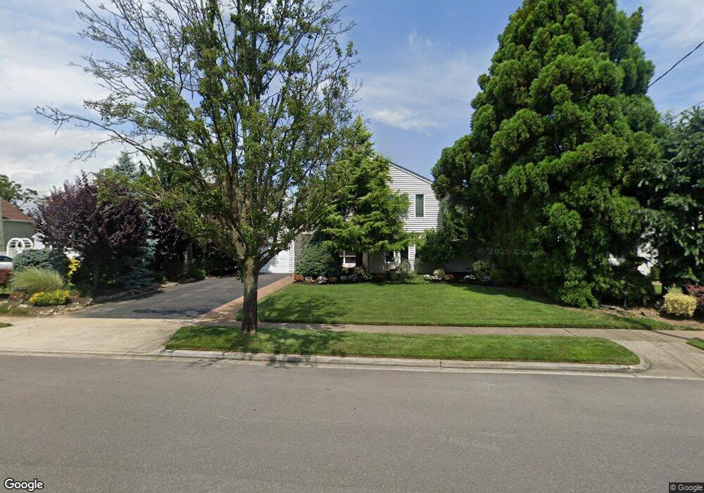
345 Wynsum Ave Merrick, NY 11566
Merrick AreaEstimated Value: $999,319 - $1,074,000
About This Home
This home is located at 345 Wynsum Ave, Merrick, NY 11566 and is currently estimated at $1,036,660, approximately $473 per square foot. 345 Wynsum Ave is a home located in Nassau County with nearby schools including Merrick Avenue Middle School, John F. Kennedy High School, and St. Elizabeth Ann Seton Regional School.
Ownership History
We collect this data history from publicly available records. To have your information removed, we recommend requesting removal directly through your county’s website.
Purchase Details
Home Financials for this Owner
Home Financials are based on the most recent Mortgage that was taken out on this home.Home Values in the Area
Average Home Value in this Area
Purchase History
We collect this data history from publicly available records. To have your information removed, we recommend requesting removal directly through your county’s website.
| Date | Buyer | Sale Price | Title Company |
|---|---|---|---|
| $620,000 | Stewart Title |
Mortgage History
We collect this data history from publicly available records. To have your information removed, we recommend requesting removal directly through your county’s website.
| Date | Status | Borrower | Loan Amount |
|---|---|---|---|
| Closed | $536,222 |
Tax History
We collect this data history from publicly available records. To have your information removed, we recommend requesting removal directly through your county’s website.
| Year | Tax Paid | Tax Assessment Tax Assessment Total Assessment is a certain percentage of the fair market value that is determined by local assessors to be the total taxable value of land and additions on the property. | Land | Improvement |
|---|---|---|---|---|
| 2026 | $19,883 | $655 | $278 | $377 |
| 2025 | $19,883 | $655 | $278 | $377 |
| 2024 | $4,633 | $655 | $278 | $377 |
| 2023 | $18,756 | $655 | $278 | $377 |
| 2022 | $18,756 | $655 | $278 | $377 |
| 2021 | $25,990 | $629 | $267 | $362 |
| 2020 | $18,518 | $930 | $520 | $410 |
| 2019 | $17,691 | $930 | $520 | $410 |
| 2018 | $16,615 | $1,287 | $0 | $0 |
| 2017 | $14,809 | $1,287 | $720 | $567 |
| 2016 | $20,317 | $1,287 | $720 | $567 |
| 2015 | $5,107 | $1,287 | $720 | $567 |
| 2014 | $5,107 | $1,287 | $720 | $567 |
| 2013 | $4,833 | $1,287 | $720 | $567 |
Map
- 327 Wynsum Ave
- 315 Wynsum Ave
- 2667 Wynsum Ave
- 9 Avenue C
- 2716 Hewlett Ave
- 66 Kenny Ave
- 2077 Byron Rd
- 217 Bayview Ave
- 2829 Frankel Blvd
- 2635 Merrick Ave
- 2119 Oliver Way
- 72 Lake End Rd
- 2043 Ripley Ln
- 2038 Ripley Ln
- 2006 Norshon Rd
- 2105 Holland Way
- 2845 Whaleneck Dr
- 2064 Oliver Way
- 2461 Merrick Ave
- 2920 Judith Dr
- 333 Wynsum Ave
- 2683 Wynsum Ave
- 330 Frankel Blvd
- 2694 Frankel Blvd
- 324 Frankel Blvd
- 339 Wynsum Ave
- 342 Frankel Blvd
- 318 Frankel Blvd
- 326 Wynsum Ave
- 332 Wynsum Ave
- 302 Wynsum Ave
- 312 Frankel Blvd
- 348 Frankel Blvd
- 338 Wynsum Ave
- 312 Frankel Blvd
- 2346 Wynsum Ave
- 2356 Wynsum Ave
- 2666 Wynsum Ave
- 351 Wynsum Ave
- 350 Frankel Blvd
Ask me questions while you tour the home.