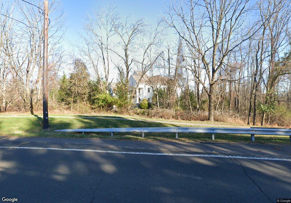
347 Eagle Rd Newtown, PA 18940
Estimated Value: $1,222,000 - $1,595,037
4
Beds
4
Baths
5,128
Sq Ft
$271/Sq Ft
Est. Value
About This Home
This home is located at 347 Eagle Rd, Newtown, PA 18940 and is currently estimated at $1,391,759, approximately $271 per square foot. 347 Eagle Rd is a home located in Bucks County with nearby schools including Newtown Elementary School, Newtown Middle School, and Council Rock High School North.
Ownership History
Date
Name
Owned For
Owner Type
Purchase Details
Closed on
Sep 6, 2005
Sold by
Katz Custom Homes Lp
Bought by
Pave Gary and Belot Pave Irene
Current Estimated Value
Home Financials for this Owner
Home Financials are based on the most recent Mortgage that was taken out on this home.
Original Mortgage
$359,650
Outstanding Balance
$191,930
Interest Rate
5.81%
Mortgage Type
Construction
Estimated Equity
$1,199,829
Purchase Details
Closed on
Oct 20, 1998
Sold by
Kalish Harry A and Kalish Ada A
Bought by
Berkowitz Herbert
Create a Home Valuation Report for This Property
The Home Valuation Report is an in-depth analysis detailing your home's value as well as a comparison with similar homes in the area
Home Values in the Area
Average Home Value in this Area
Purchase History
| Date | Buyer | Sale Price | Title Company |
|---|---|---|---|
| Pave Gary | $300,000 | First American Title Ins Co | |
| Berkowitz Herbert | $100,000 | First American Title Ins Co |
Source: Public Records
Mortgage History
| Date | Status | Borrower | Loan Amount |
|---|---|---|---|
| Open | Pave Gary | $359,650 |
Source: Public Records
Tax History
| Year | Tax Paid | Tax Assessment Tax Assessment Total Assessment is a certain percentage of the fair market value that is determined by local assessors to be the total taxable value of land and additions on the property. | Land | Improvement |
|---|---|---|---|---|
| 2025 | $12,560 | $70,670 | $14,720 | $55,950 |
| 2024 | $12,560 | $70,670 | $14,720 | $55,950 |
| 2023 | $12,016 | $70,670 | $14,720 | $55,950 |
| 2022 | $11,784 | $70,670 | $14,720 | $55,950 |
| 2021 | $11,601 | $70,670 | $14,720 | $55,950 |
| 2020 | $11,042 | $70,670 | $14,720 | $55,950 |
| 2019 | $10,781 | $70,670 | $14,720 | $55,950 |
| 2018 | $10,576 | $70,670 | $14,720 | $55,950 |
| 2017 | $10,210 | $70,670 | $14,720 | $55,950 |
| 2016 | $10,139 | $70,670 | $14,720 | $55,950 |
| 2015 | -- | $70,670 | $14,720 | $55,950 |
| 2014 | -- | $70,670 | $14,720 | $55,950 |
Source: Public Records
Map
Nearby Homes
- 25 Honey Locust Ln
- 7 Millstone Dr
- 271 Stoopville Rd
- 82 Honey Locust Ln
- 7 Alexander Way
- 220 Stoopville Rd
- 3206 Society Place
- 1405 Society Place
- 35 Rittenhouse Cir
- 805 Society Place Unit 8H1
- 2 Eagleton Farm Rd
- 7 Augusta Dr
- 41 Laurel Cir
- 10 Caroline Ct
- 0 Augusta Dr Unit KINGSWOOD
- 0 Augusta Dr Unit MAYWEATHER
- 0 Augusta Dr Unit RAINTREE
- 0 Augusta Dr Unit CLOVERFIELD
- 0 Augusta Dr Unit ROLLINS
- 0 Augusta Dr Unit LANEY
Your Personal Tour Guide
Ask me questions while you tour the home.