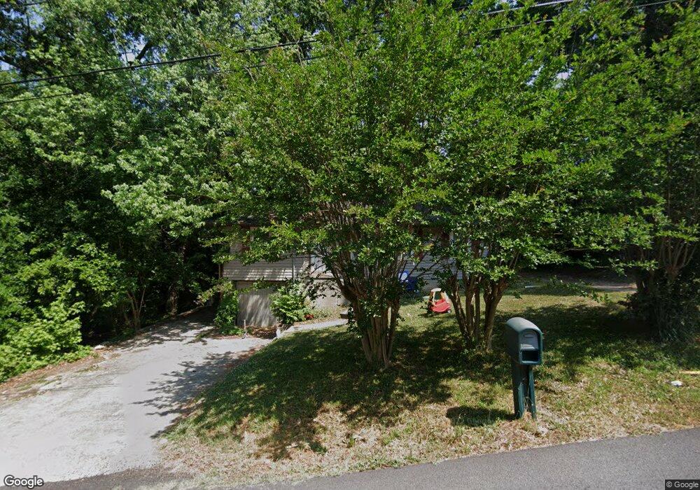
347 Skyview Ln Toccoa, GA 30577
Estimated Value: $120,210 - $190,000
3
Beds
1
Bath
1,144
Sq Ft
$130/Sq Ft
Est. Value
About This Home
This home is located at 347 Skyview Ln, Toccoa, GA 30577 and is currently estimated at $148,803, approximately $130 per square foot. 347 Skyview Ln is a home located in Stephens County with nearby schools including Stephens County High School.
Ownership History
Date
Name
Owned For
Owner Type
Purchase Details
Closed on
Jul 20, 2018
Sold by
National Loan Investors Lp
Bought by
Cash Doug
Current Estimated Value
Purchase Details
Closed on
Jun 11, 2008
Sold by
Not Provided
Bought by
L T A Properties Llc
Purchase Details
Closed on
Dec 22, 2006
Sold by
Wells Fargo Bank
Bought by
Mabry Carey Daniel
Purchase Details
Closed on
May 2, 2006
Sold by
Brock Joseph
Bought by
Wells Fargo Bank
Purchase Details
Closed on
Mar 1, 1987
Bought by
<Buyer Info Not Present>
Create a Home Valuation Report for This Property
The Home Valuation Report is an in-depth analysis detailing your home's value as well as a comparison with similar homes in the area
Purchase History
| Date | Buyer | Sale Price | Title Company |
|---|---|---|---|
| Cash Doug | $22,500 | -- | |
| L T A Properties Llc | -- | -- | |
| Mabry Carey Daniel | $32,500 | -- | |
| Wells Fargo Bank | $56,980 | -- | |
| <Buyer Info Not Present> | $32,000 | -- |
Source: Public Records
Tax History
| Year | Tax Paid | Tax Assessment Tax Assessment Total Assessment is a certain percentage of the fair market value that is determined by local assessors to be the total taxable value of land and additions on the property. | Land | Improvement |
|---|---|---|---|---|
| 2025 | $1,281 | $36,710 | $1,432 | $35,278 |
| 2024 | $877 | $24,602 | $1,432 | $23,170 |
| 2023 | $697 | $22,892 | $1,432 | $21,460 |
| 2022 | $623 | $20,912 | $1,432 | $19,480 |
| 2021 | $606 | $19,372 | $1,432 | $17,940 |
| 2020 | $608 | $19,258 | $1,432 | $17,826 |
| 2019 | $285 | $19,258 | $1,432 | $17,826 |
| 2018 | $611 | $19,258 | $1,432 | $17,826 |
| 2017 | $620 | $19,258 | $1,432 | $17,826 |
| 2016 | $611 | $19,258 | $1,432 | $17,825 |
| 2015 | $633 | $19,074 | $1,432 | $17,642 |
| 2014 | $644 | $19,072 | $1,432 | $17,640 |
| 2013 | -- | $19,072 | $1,432 | $17,640 |
Source: Public Records
Map
Nearby Homes
- 59 Sunset Ln
- 481 Collins Rd
- 771 E Currahee St
- 288 Davis Ave
- 27 Hilltop Ln
- 181 Forest Ave
- 586 Collins Rd
- 0 Hwy 17 Alt Unit 10577119
- 100 Forest Ave
- 0 Hilltop Ln Unit 10728713
- 41 Norwood Ave
- 185 Stancil Dr
- 122 King St
- 45 Hayes St
- 128 Branch St
- 253 Stancil Dr
- 614 616 S Pond St
- 109 Schaefer Ct
- 157 Taylor St
- 478 S Pond St
Your Personal Tour Guide
Ask me questions while you tour the home.