347 Tanyard Trace Benton, LA 71006
Dukedale-Vanceville NeighborhoodEstimated Value: $608,000 - $1,225,245
About This Home
This home is located at 347 Tanyard Trace, Benton, LA 71006 and is currently estimated at $909,415, approximately $166 per square foot. 347 Tanyard Trace is a home with nearby schools including Kingston Elementary School, Benton Middle School, and Benton High School.
Ownership History
We collect this data history from publicly available records. To have your information removed, we recommend requesting removal directly through your county’s website.
Purchase Details
Home Financials for this Owner
Home Financials are based on the most recent Mortgage that was taken out on this home.Home Values in the Area
Average Home Value in this Area
Purchase History
We collect this data history from publicly available records. To have your information removed, we recommend requesting removal directly through your county’s website.
| Date | Buyer | Sale Price | Title Company |
|---|---|---|---|
| $130,000 | None Available |
Mortgage History
We collect this data history from publicly available records. To have your information removed, we recommend requesting removal directly through your county’s website.
| Date | Status | Borrower | Loan Amount |
|---|---|---|---|
| Open | $72,000 |
Tax History
We collect this data history from publicly available records. To have your information removed, we recommend requesting removal directly through your county’s website.
| Year | Tax Paid | Tax Assessment Tax Assessment Total Assessment is a certain percentage of the fair market value that is determined by local assessors to be the total taxable value of land and additions on the property. | Land | Improvement |
|---|---|---|---|---|
| 2025 | $11,734 | $103,219 | $10,000 | $93,219 |
| 2024 | $11,855 | $103,219 | $10,000 | $93,219 |
| 2023 | $10,463 | $87,024 | $10,000 | $77,024 |
| 2022 | $10,410 | $87,024 | $10,000 | $77,024 |
| 2021 | $10,251 | $87,024 | $10,000 | $77,024 |
| 2020 | $10,251 | $87,024 | $10,000 | $77,024 |
| 2019 | $10,249 | $86,002 | $9,000 | $77,002 |
| 2018 | $10,249 | $86,002 | $9,000 | $77,002 |
| 2017 | $10,129 | $86,002 | $9,000 | $77,002 |
| 2016 | $1,671 | $13,000 | $13,000 | $0 |
| 2015 | $473 | $3,900 | $3,900 | $0 |
| 2014 | $473 | $3,900 | $3,900 | $0 |
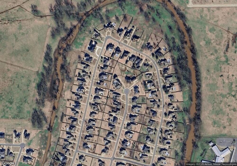
Map
- 252 Cattail Trail
- 315 Tanyard
- 225 Cattail Trail
- 628 Silkwood Dr
- 746 Smokehouse Loop
- 200 Colonel Burt Dr
- 505 Hempstead Cir
- 402 Halifax Cir
- 106 Pear Tree Ln
- 311 S Parkridge Dr
- 4228 Parkridge Dr
- 814 Dumaine Dr
- 798 Dumaine Dr
- 4704 Taldon Ln
- 1034 Maize St
- 210 Poydras Ave
- 4026 Elizabeth Ln
- 793 Dumaine Dr
- 319 Newport Ln
- 214 Apalachee Way
- 345 Tanyard Trace
- 458 Kingston Plantation Blvd
- 346 Tanyard Trace
- 456 Kingston Plantation Blvd
- 454 Kingston Plantation Blvd
- 343 Tanyard
- 344 Tanyard Trace
- 462 Kingston Plantation Blvd
- 452 Kingston Plantation Blvd
- 342 Tanyard Trace
- 273 Cattails Trail
- 273 Cattail Trail
- 341 Tanyard Trace
- 271 Cattail Trail
- 269 Cattail Trail
- 340 Tanyard Trace
- 457 Kingston Plantation Blvd
- 263 Cattail Trail
- 275 Cattail Trail
- 261 Cattail Trail
Ask me questions while you tour the home.