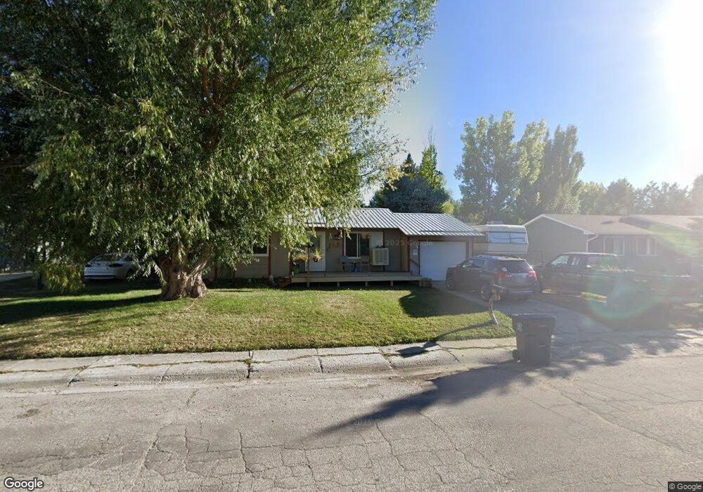
348 Bellvue Ave Lander, WY 82520
Estimated Value: $285,000 - $352,000
3
Beds
1
Bath
960
Sq Ft
$333/Sq Ft
Est. Value
About This Home
This home is located at 348 Bellvue Ave, Lander, WY 82520 and is currently estimated at $319,225, approximately $332 per square foot. 348 Bellvue Ave is a home located in Fremont County with nearby schools including Lander Valley High School, Elevation Academy, and Lander Christian Academy.
Ownership History
Date
Name
Owned For
Owner Type
Purchase Details
Closed on
Jul 20, 2021
Sold by
Scott Brenda M
Bought by
Wortman Brenda M
Current Estimated Value
Home Financials for this Owner
Home Financials are based on the most recent Mortgage that was taken out on this home.
Original Mortgage
$113,999
Outstanding Balance
$86,004
Interest Rate
2.2%
Mortgage Type
New Conventional
Estimated Equity
$233,221
Purchase Details
Closed on
May 7, 2010
Sold by
Hartwell Brenda M and Scott Brenda M
Bought by
Scott Brenda M
Create a Home Valuation Report for This Property
The Home Valuation Report is an in-depth analysis detailing your home's value as well as a comparison with similar homes in the area
Home Values in the Area
Average Home Value in this Area
Purchase History
We collect this data history from publicly available records. To have your information removed, we recommend requesting removal directly through your county’s website.
| Date | Buyer | Sale Price | Title Company |
|---|---|---|---|
| Wortman Brenda M | -- | First American Title | |
| Scott Brenda M | -- | Fremont County Title |
Source: Public Records
Mortgage History
We collect this data history from publicly available records. To have your information removed, we recommend requesting removal directly through your county’s website.
| Date | Status | Borrower | Loan Amount |
|---|---|---|---|
| Open | Wortman Brenda M | $113,999 |
Source: Public Records
Tax History
| Year | Tax Paid | Tax Assessment Tax Assessment Total Assessment is a certain percentage of the fair market value that is determined by local assessors to be the total taxable value of land and additions on the property. | Land | Improvement |
|---|---|---|---|---|
| 2025 | $1,625 | $16,241 | $4,395 | $11,846 |
| 2024 | $1,625 | $21,048 | $5,861 | $15,187 |
| 2023 | $1,556 | $20,323 | $5,720 | $14,603 |
| 2022 | $1,309 | $17,479 | $5,720 | $11,759 |
| 2021 | $1,265 | $16,347 | $5,720 | $10,627 |
| 2020 | $1,093 | $14,144 | $5,720 | $8,424 |
| 2019 | $1,017 | $12,956 | $4,810 | $8,146 |
| 2018 | $1,014 | $12,780 | $4,810 | $7,970 |
| 2017 | $976 | $12,272 | $4,810 | $7,462 |
| 2016 | $903 | $11,368 | $4,810 | $6,558 |
| 2015 | $916 | $11,660 | $4,810 | $6,850 |
| 2014 | $943 | $12,017 | $4,810 | $7,207 |
Source: Public Records
Map
Nearby Homes
- 2 Dale Dr
- 685 Cedar St
- 575 Bellvue Ave
- 400 S 1st St
- 108 Canyon St
- 275 Cascade St
- 975 S 2nd St
- 350 Canyon St
- E Main (17 1 + - Acres)
- 371 Cascade St
- 0 E Main (17 1 + - Acres) Unit 20256293
- 1100 Pronghorn Dr
- 625 Cottonwood Ln
- 485 S 5th St
- 1072 Pronghorn Dr
- 460 N 3rd St
- 1062 Pronghorn Dr
- 660 N 2nd St
- 670 N 2nd St
- 336 Eugene St
Your Personal Tour Guide
Ask me questions while you tour the home.