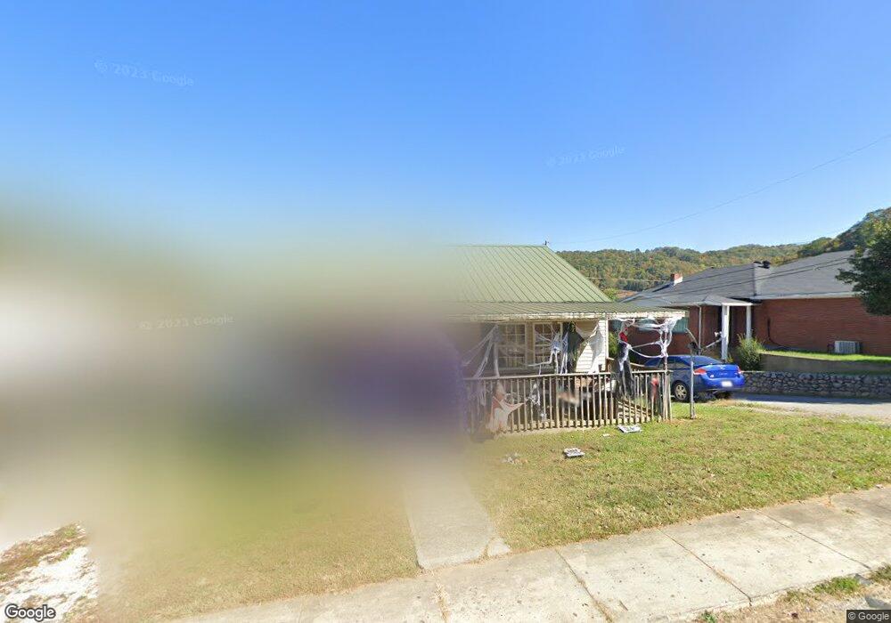
348 Pear St Hazard, KY 41701
Estimated Value: $82,000 - $129,000
About This Home
This home is located at 348 Pear St, Hazard, KY 41701 and is currently estimated at $107,257. 348 Pear St is a home located in Perry County with nearby schools including Roy G. Eversole Elementary School, Hazard Middle School, and Hazard High School.
Ownership History
We collect this data history from publicly available records. To have your information removed, we recommend requesting removal directly through your county’s website.
Purchase Details
Purchase Details
Home Financials for this Owner
Home Financials are based on the most recent Mortgage that was taken out on this home.Purchase Details
Home Financials for this Owner
Home Financials are based on the most recent Mortgage that was taken out on this home.Home Values in the Area
Average Home Value in this Area
Purchase History
We collect this data history from publicly available records. To have your information removed, we recommend requesting removal directly through your county’s website.
| Date | Buyer | Sale Price | Title Company |
|---|---|---|---|
| -- | None Listed On Document | ||
| -- | None Listed On Document | ||
| -- | None Listed On Document | ||
| $52,500 | -- | ||
| -- | -- |
Mortgage History
We collect this data history from publicly available records. To have your information removed, we recommend requesting removal directly through your county’s website.
| Date | Status | Borrower | Loan Amount |
|---|---|---|---|
| Previous Owner | $42,000 | ||
| Previous Owner | $127,500 |
Tax History
We collect this data history from publicly available records. To have your information removed, we recommend requesting removal directly through your county’s website.
| Year | Tax Paid | Tax Assessment Tax Assessment Total Assessment is a certain percentage of the fair market value that is determined by local assessors to be the total taxable value of land and additions on the property. | Land | Improvement |
|---|---|---|---|---|
| 2025 | $595 | $52,500 | $0 | $0 |
| 2024 | $595 | $52,500 | $0 | $0 |
| 2023 | $595 | $52,500 | $15,000 | $37,500 |
| 2022 | $582 | $52,500 | $15,000 | $37,500 |
| 2021 | $582 | $52,500 | $15,000 | $37,500 |
| 2020 | $581 | $52,500 | $15,000 | $37,500 |
| 2019 | $566 | $52,500 | $15,000 | $37,500 |
| 2018 | $548 | $52,500 | $15,000 | $37,500 |
| 2017 | $52,500 | $52,500 | $15,000 | $37,500 |
| 2016 | $52,500 | $52,500 | $15,000 | $37,500 |
| 2015 | $52,500 | $52,500 | $15,000 | $37,500 |
| 2013 | $508 | $52,500 | $15,000 | $37,500 |
Map
- 2232 N Main St
- 157 Alto St
- 217 & 219 Elizabeth Dr Unit 217 219 A-B
- 105 River Rd
- 2517 N Main St
- 34 Peavley St
- 540 Skyline Dr
- 244 Chimney Rock Rd
- 209 Faulkner Ave
- 148 Combs St
- 141 Eversole St
- 125 Combs St
- 300 Perry Circle Rd
- 10 Gorman Ridge Rd
- 124 Laurel St
- 724 Oakhurst Ave
- 164 Laurel St
- 524 Oakhurst Ave
- 432 Sun Valley Terrace
- 219 Perry Ave
Ask me questions while you tour the home.