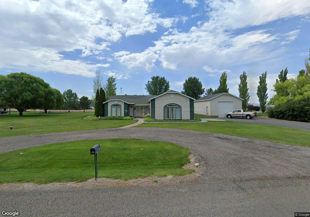
3485 E 3195 N Kimberly, ID 83341
Estimated Value: $478,000 - $505,000
3
Beds
2
Baths
1,600
Sq Ft
$307/Sq Ft
Est. Value
About This Home
This home is located at 3485 E 3195 N, Kimberly, ID 83341 and is currently estimated at $491,461, approximately $307 per square foot. 3485 E 3195 N is a home located in Twin Falls County with nearby schools including Kimberly Elementary School, STRICKER ELEMENTARY SCHOOL, and Kimberly Middle School.
Ownership History
Date
Name
Owned For
Owner Type
Purchase Details
Closed on
May 19, 2025
Sold by
Jones Brett Matthew
Bought by
Jones Brett Matthew and Maravilla Melanie
Current Estimated Value
Purchase Details
Closed on
May 7, 2025
Sold by
Delavern Jean M and Delavern Deane E
Bought by
Jones Brett Matthew
Purchase Details
Closed on
Oct 4, 2021
Sold by
Soelberg Stephen E and Soelberg Patricia D
Bought by
Delavern Jean M and Delavern Deane E
Home Financials for this Owner
Home Financials are based on the most recent Mortgage that was taken out on this home.
Original Mortgage
$492,100
Interest Rate
2.8%
Mortgage Type
VA
Purchase Details
Closed on
Apr 11, 2018
Sold by
Soelberg Stephen E and Soelberg Patricia D
Bought by
Soelberg Stephen E and Soelberg Patricia D
Create a Home Valuation Report for This Property
The Home Valuation Report is an in-depth analysis detailing your home's value as well as a comparison with similar homes in the area
Purchase History
| Date | Buyer | Sale Price | Title Company |
|---|---|---|---|
| Jones Brett Matthew | -- | Title One | |
| Jones Brett Matthew | -- | Title One | |
| Delavern Jean M | -- | Titleone Twin Falls | |
| Soelberg Stephen E | -- | None Available |
Source: Public Records
Mortgage History
| Date | Status | Borrower | Loan Amount |
|---|---|---|---|
| Previous Owner | Delavern Jean M | $492,100 |
Source: Public Records
Tax History
| Year | Tax Paid | Tax Assessment Tax Assessment Total Assessment is a certain percentage of the fair market value that is determined by local assessors to be the total taxable value of land and additions on the property. | Land | Improvement |
|---|---|---|---|---|
| 2025 | $1,547 | $382,231 | $107,663 | $274,568 |
| 2024 | $1,503 | $382,231 | $107,663 | $274,568 |
| 2023 | $1,597 | $400,828 | $107,663 | $293,165 |
| 2022 | $1,956 | $368,533 | $65,766 | $302,767 |
| 2021 | $1,490 | $262,446 | $57,095 | $205,351 |
| 2020 | $1,472 | $227,765 | $53,760 | $174,005 |
| 2019 | $1,397 | $222,311 | $53,760 | $168,551 |
| 2018 | $1,213 | $204,498 | $36,018 | $168,480 |
| 2017 | $1,032 | $177,713 | $25,746 | $151,967 |
| 2016 | $989 | $161,550 | $0 | $0 |
| 2015 | $976 | $161,550 | $25,746 | $135,804 |
| 2012 | -- | $154,963 | $0 | $0 |
Source: Public Records
Map
Nearby Homes
- 3480 E 3180 N
- 3467 E E 3180 N
- 3474 E 3180 N
- 3388 E 3100 N
- 849 Trout Creek Way
- 3480 E 2900 N
- 3311 E 3818 N
- 3492 E 3600 N
- 1111 Cole St
- 1151 Connor Ct
- 1011 Gem Ave
- 3081 E 3400 N
- 924 Trapper Peak Rd
- 905 Main St S
- 1205 Thunder Mountain St
- 3582 N 3230 E
- 3613 N 3480 E
- 4035 N 3510 E
- 720 Irene St
- 727 Satia Ln
Your Personal Tour Guide
Ask me questions while you tour the home.